
Winkelwagen
Geen items in winkelwagen
Ga naar winkelwagen
Wandelkaarten - Nationaal park Écrins
Overzichtskaarten
-
Wandelkaarten IGN 25.000 Hautes Alpes: Ecrins
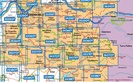
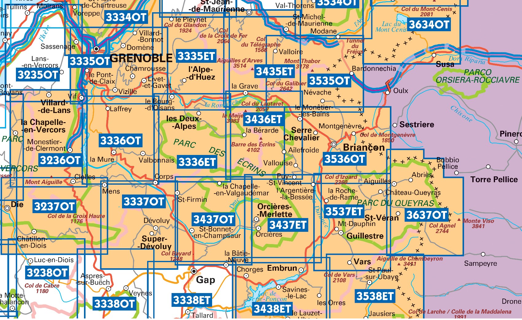
Producten op deze overzichtskaart:
Klik op een product om naar de pagina van dat product te gaan.
- Wandelkaart - Topografische kaart 3335OT Grenoble | IGN - Institut Géographique National
- Wandelkaart - Topografische kaart 3335OTR Grenoble | IGN - Institut Géographique National
- Wegenkaart - landkaart 3336ET Les Deux Alpes | IGN - Institut Géographique National
- Wandelkaart 3336ETR Les Deux Alpes | IGN - Institut Géographique National
- Wandelkaart - Topografische kaart 3336OT La Mure | IGN - Institut Géographique National
- Wandelkaart 3337OT Dévoluy | IGN - Institut Géographique National
- Wandelkaart 3337OTR Dévoluy | IGN - Institut Géographique National
- Wandelkaart 3338ET Gap | IGN - Institut Géographique National
- Wegenkaart - landkaart 3437ET Orcières-Merlette | IGN - Institut Géographique National
- Wandelkaart 3437OT Champsaur / Vieux Chaillol / PNR des Ecrins | IGN - Institut Géographique National
- Topografische kaart - Wandelkaart 3438ET Embrun - Les Orres | IGN - Institut Géographique National
- Topografische kaart - Wandelkaart 3536OT Briançon | IGN - Institut Géographique National
- Wandelkaart 3537ET Guillestre | IGN - Institut Géographique National
- Wandelkaart 3537ETR Guillestre | IGN - Institut Géographique National
- Wandelkaart 3538ET Aiguille de Chambeyron | IGN - Institut Géographique National
- Wandelkaart 3637OT Mont Viso | IGN - Institut Géographique National
 Wandelkaart 21 Briançon, Vallee de la Guisane, Vallee de la Claree | Fraternali Editore★★★★★
 Wandelkaart - Topografische kaart 3639OT Haute Tinée 1 | IGN - Institut Géographique National
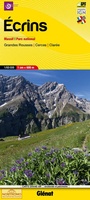 Wandelkaart 5 Ecrins Massif | Didier Richard
 Wandelkaart 6 Queyras - Ubaye | Didier Richard★★★★★
 Wandelkaart - Topografische kaart 3335ET le Bourg d'Oisans - l'Alpe d'Huez | IGN - Institut Géographique National★★★★★
 Wandelkaart - Topografische kaart 3336OT La Mure | IGN - Institut Géographique National★★★★★
 Wandelkaart - Topografische kaart 3338OT Serres - Veynes | IGN - Institut Géographique National
 Wandelkaart - Topografische kaart 3339ET la Motte-du-Caire | IGN - Institut Géographique National
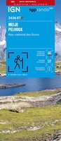 Wandelkaart 3436ETR Meije, Mont Pelvoux (Parc national des Ecrins) | IGN - Institut Géographique National★★★★★
 Wandelkaart - Wegenkaart - landkaart 89024 Grande traversée des Alpes GR5 | IGN - Institut Géographique National★★★★★
 Wandelkaart 89034 Tour de Oisans et des Ecrins GR54 | IGN - Institut Géographique National★★★★★
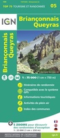 Fietskaart - Wandelkaart 75005 Briançonnais – Queyras | IGN - Institut Géographique National★★★★★
 Fietskaart - Wandelkaart 75006 Oisans Champsaur - Massif des Ecrins | IGN - Institut Géographique National
 Fietskaart - Wandelkaart 75008 Ubaye, Val d'Allos, Lac de Serre-Poncon | IGN - Institut Géographique National
 Wandelkaart Tour de l'Oisans et des Écrins GR54 | Didier Richard
 Wandelkaart Massif des Ecrins carte-guide Rando Recto Verso | Recto Verso
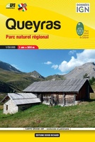 Wandelkaart Queyras Parc naturel regional | Didier Richard
Laatste reviews

Goed contact met de leverancier
Snelle levering, duidelijke kaart!
★★★★★ door Christa 06 november 2026 | Heeft dit artikel gekocht
Prima levering
Snel geleverd, mooie overzichtelijke kaart 👍
★★★★★ door Christa 06 november 2026 | Heeft dit artikel gekocht
Dun papier, te veel hoogte lijnen
De zwerver leverde een prima kaart maar over de kaart zelf zijn we minder tevreden. Het papier is niet gecoat en scheurt snel. Ook de …
★★★★★ door Nathalie Schoonman 05 november 2026 | Heeft dit artikel gekocht
Wel erg veel tekst
Op zich handige gids voor onderweg, maar veel tekst. Aangezien de stempelposten belangrijk zijn voor pelgrims, zou een duidelijker opsomming vd vindplaatsen hiervan handig zijn. …
★★★★★ door Ingrid 03 november 2026 | Heeft dit artikel gekocht