Winkelwagen
Geen items in winkelwagen
Ga naar winkelwagen
Wandelkaarten - Franche-Comté
 Topografische kaart - Wandelkaart 3221 SB - Serie Bleue Champlitte | IGN - Institut Géographique National
 Wandelkaart - Topografische kaart 3222 SB - Serie Bleue Gray - Autrey-lès-Gray | IGN - Institut Géographique National
 Wandelkaart - Topografische kaart 3223 SB - Serie Bleue Pesmes - Gendrey | IGN - Institut Géographique National
 Wandelkaart - Topografische kaart 3224 Dole | IGN - Institut Géographique National
 Wandelkaart - Topografische kaart 3225 SB - Serie Bleue Poligny, Chaussin | IGN - Institut Géographique National
 Topografische kaart - Wandelkaart 3226ET Lons-le-Saunier / Poligny / Reculée de Baume | IGN - Institut Géographique National
 Wandelkaart - Topografische kaart 3227OT Saint Amour | IGN - Institut Géographique National
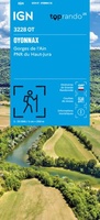 Wandelkaart 3228OT Oyonnax / Gorges de l'Ain / PNR Haut-Jura | IGN - Institut Géographique National
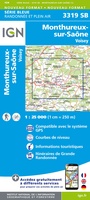 Wandelkaart - Topografische kaart 3319 SB - Serie Bleue Monthureux-sur-Saône - Voisey | IGN - Institut Géographique National
 Wandelkaart - Topografische kaart 3320 SB - Serie Bleue Jussey - Faverney | IGN - Institut Géographique National
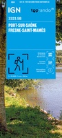 Wandelkaart 3321 SB - Serie Bleue Port-sur-Saône / Fresne-St-Mamès | IGN - Institut Géographique National
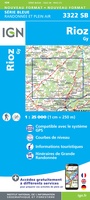 Wandelkaart - Topografische kaart 3322 SB - Serie Bleue Gy - Rioz | IGN - Institut Géographique National
 Wandelkaart - Topografische kaart 3323ET Besançon - Forêt de Chailluz | IGN - Institut Géographique National
 Wandelkaart - Topografische kaart 3324ET Arc-et-Senans | IGN - Institut Géographique National
 Wandelkaart 3325OT Arbois / Salins-les-Bains / Forêt Domaniale de la Joux | IGN - Institut Géographique National
 Wandelkaart - Topografische kaart 3326ET Champagnole | IGN - Institut Géographique National★★★★★
 Wandelkaart - Topografische kaart 3327ET Morez - les Rousses | IGN - Institut Géographique National★★★★★★★★★★
 Topografische kaart - Wandelkaart 3327OT St-Claude / Lac de Vouglans / PNR du Haut Jura | IGN - Institut Géographique National★★★★★
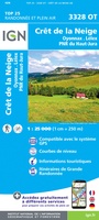 Wandelkaart - Topografische kaart 3328OT Crêt de la Neige | IGN - Institut Géographique National
 Wandelkaart 270T Genève | Swisstopo
- 1
- 2
- 3
- Volgende >>
- 4
Laatste reviews

Compact gidsje
Ben nog niet het veld in geweest met de gids maar de eerste indruk is veel informatie om een meerdaagse tocht uit te stippelen.
★★★★★ door Henk 04 juli 2026 | Heeft dit artikel gekocht
Beschikbaarheid en snelheid
Prima in orde!
★★★★★ door Marko 04 juli 2026 | Heeft dit artikel gekocht
Lekker analoog
Fijn boekje met veel informatie, behalve knooppunten Utrecht af en toe incorrect. Wat heerlijk om offline te navigeren, lekker analoog. Zodra je het systeem begrijpt …
★★★★★ door Daan 03 juli 2026 | Heeft dit artikel gekocht
Aanrader
Als je van geschiedenis, Groningen en kaarteen houdt, is dit echt een aanrader!
★★★★★ door Reinout 03 juli 2026 | Heeft dit artikel gekocht