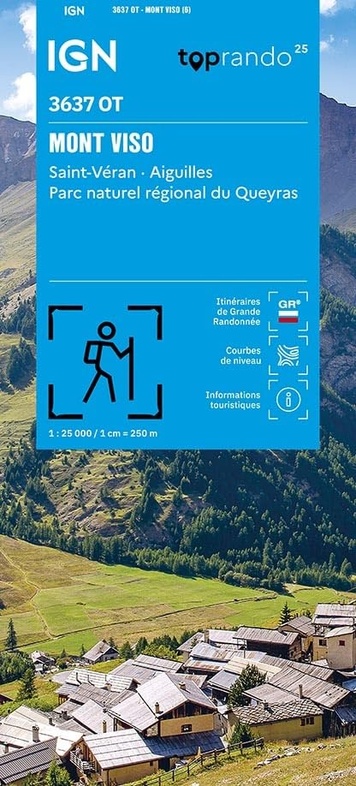
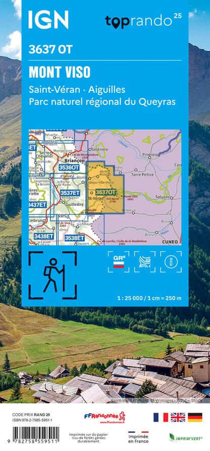
Wandelkaart 3637OT Mont Viso | IGN - Institut Géographique National (9782758559511)
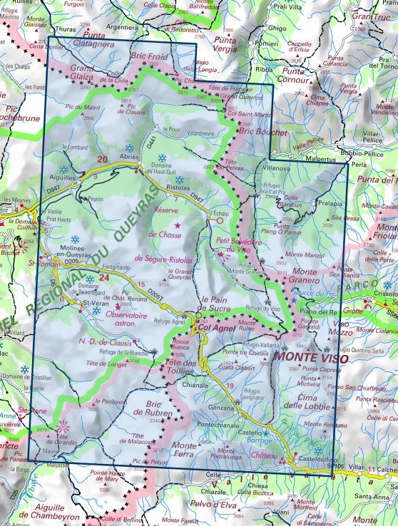
St-Véran - Aiguilles - PNR du Queyras
- ISBN / CODE: 9782758559511
- Editie: 11-05-2026
- Druk: 6
- Aantal blz.: 1
- Schaal: 1:25000
- Uitgever: IGN - Institut Géographique National
- Soort: Wandelkaart
- Serie: Top 25
- Taal: Frans
- Hoogte: 24.0 cm
- Breedte: 11.0 cm
- Gewicht: 93.0 g
- Uitvoering: Papier
- Bindwijze: -
- Beoordeling: 5,0 ★★★★★ (6 reviews) Schrijf een review
-
€ 17,95
Dit artikel is (tijdelijk) niet leverbaar
-
Wandelkaarten IGN 25.000 Hautes Alpes: Ecrins

Producten op deze overzichtskaart:
Klik op een product om naar de pagina van dat product te gaan.
- Wandelkaart - Topografische kaart 3335OT Grenoble | IGN - Institut Géographique National
- Wandelkaart - Topografische kaart 3335OTR Grenoble | IGN - Institut Géographique National
- Wegenkaart - landkaart 3336ET Les Deux Alpes | IGN - Institut Géographique National
- Wandelkaart - Topografische kaart 3336OT La Mure | IGN - Institut Géographique National
- Wandelkaart - Topografische kaart 3337OT Dévoluy | IGN - Institut Géographique National
- Wandelkaart - Topografische kaart 3338ET Gap | IGN - Institut Géographique National
- Wandelkaart 3437OT Champsaur / Vieux Chaillol / PNR des Ecrins | IGN - Institut Géographique National
- Wandelkaart 3537ET Guillestre | IGN - Institut Géographique National
- Wandelkaart 3537ETR Guillestre | IGN - Institut Géographique National
- Wandelkaart - Topografische kaart 3538ET Aiguille de Chamberyron | IGN - Institut Géographique National
- Wandelkaart 3637OT Mont Viso | IGN - Institut Géographique National
-
Wandelkaarten IGN 25.000 Hautes Alpes: Queyras

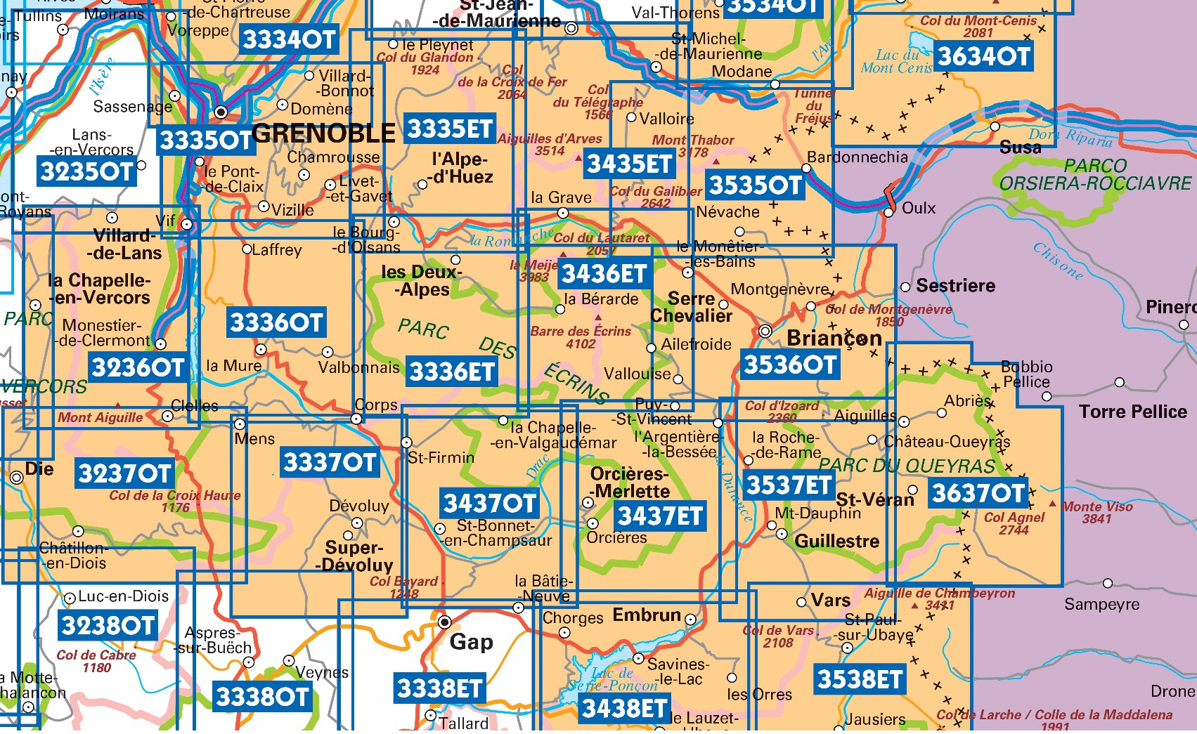
Producten op deze overzichtskaart:
Klik op een product om naar de pagina van dat product te gaan.
- Wandelkaart 3537ET Guillestre | IGN - Institut Géographique National
- Wandelkaart 3537ETR Guillestre | IGN - Institut Géographique National
- Wandelkaart - Topografische kaart 3538ET Aiguille de Chamberyron | IGN - Institut Géographique National
- Wandelkaart 3637OT Mont Viso | IGN - Institut Géographique National
Overzichtskaarten
Beschrijving
Reviews
Mooie gedetailleerde wandelkaart, snel geleverd. Die gaat onmisbaar worden tijdens onze ezeltocht in de Franse alpen!
★★★★★ door Natasja Admiraal 7 juli 2025 | Heeft dit artikel gekochtVond u dit een nuttige review? (login om te beoordelen)
snel geleverd, ideaal
★★★★★ door Klaas 17 april 2024 | Heeft dit artikel gekochtVond u dit een nuttige review? (login om te beoordelen)
De IGN-kaarten zijn gewoonweg onmisbaar als je een hike gaat doen in Frankrijk. Ook al gebruik ik GPS voor mijn route terwijl ik op pad ben, om te plannen heb ik toch echt het overzicht van een grote kaart nodig.
★★★★★ door Pieter Boddaert 17 januari 2024 | Heeft dit artikel gekochtVond u dit een nuttige review? (login om te beoordelen)
Schrijf een review
Graag horen wij wat u van dit artikel vindt. Vindt u het goed, leuk, mooi, slecht, lelijk, onbruikbaar of erg handig: schrijf gerust alles op! Het is niet alleen leuk om te doen maar u informeert andere klanten er ook nog mee!
Ook interessant voor europa/frankrijk/provence-alpes-cote-dazur/alpes-de-haute-provence
-

Wandelgids 0401 La Haute Provence pa
€ 18,95Wandelgidsen Alpes-de-Haute-Provence -

Reliëfkaart 60170 Ecrins / Queyras m
€ 139,95Reliëfkaarten Hautes-Alpes -

Wandelkaart 3537ETR Guillestre | IGN
€ 22,95Wandelkaarten Alpes-de-Haute-Provence -

Mountainbikegids Alpes de Haute-Prov
€ 23,95Mountainbikegidsen Alpes-de-Haute-Provence -

Wegenkaart - landkaart 16 TOP 250 Pr
€ 9,95Wegenkaarten Alpes-de-Haute-Provence