Winkelwagen
Geen items in winkelwagen
Ga naar winkelwagen
Wandelkaarten - Auvergne
Overzichtskaarten
-
Wandelkaarten IGN 25.000 Auvergne : Noord

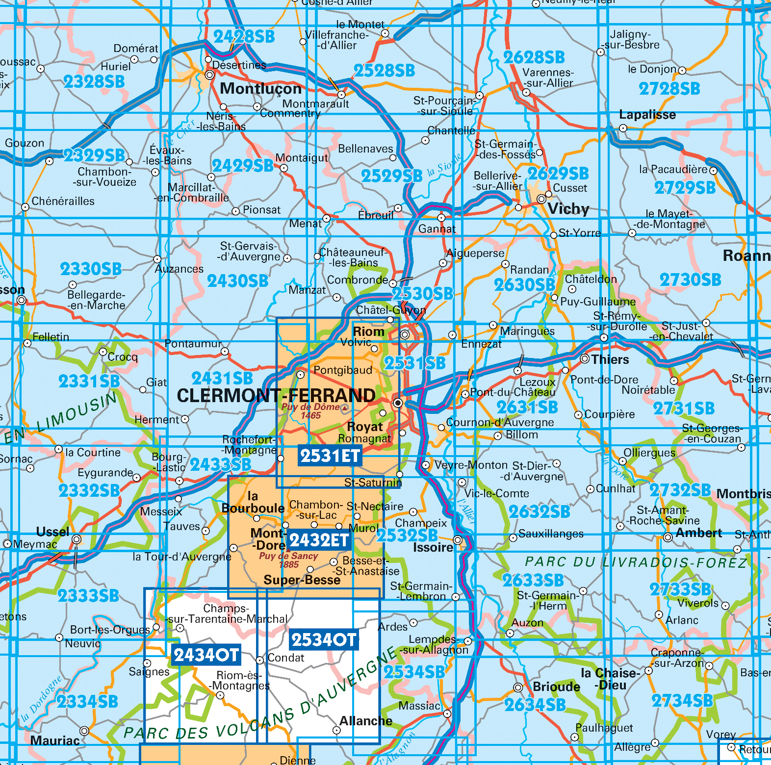
Producten op deze overzichtskaart:
Klik op een product om naar de pagina van dat product te gaan.
- Wandelkaart - Topografische kaart 2327 SB - Serie Bleue Culan - Châteaumeillant | IGN - Institut Géographique National
- Wandelkaart - Topografische kaart 2328 SB - Serie Bleue Huriel - Boussac | IGN - Institut Géographique National
- Wandelkaart - Topografische kaart 2329 SB - Serie Bleue Évaux-les-Bains | IGN - Institut Géographique National
- Wandelkaart - Topografische kaart 2330 SB - Serie Bleue Auzances - Aubusson | IGN - Institut Géographique National
- Wandelkaart - Topografische kaart 2331 SB - Serie Bleue Felletin | IGN - Institut Géographique National
- Wandelkaart - Topografische kaart 2332 SB - Serie Bleue Ussel | IGN - Institut Géographique National
- Wandelkaart - Topografische kaart 2333 SB - Serie Bleue Bort-les-Orgues | IGN - Institut Géographique National
- Wandelkaart - Topografische kaart 2334 SB - Serie Bleue Mauriac | IGN - Institut Géographique National
- Topografische kaart - Wandelkaart 2427 SB - Serie Bleue Cérilly | IGN - Institut Géographique National
- Wandelkaart - Topografische kaart 2428 SB - Serie Bleue Montluçon | IGN - Institut Géographique National
- Wandelkaart - Topografische kaart 2429 SB - Serie Bleue Saint-Éloy-les-Mines | IGN - Institut Géographique National
- Wandelkaart - Topografische kaart 2430 SB - Serie Bleue Saint-Gervais d'Auvergne | IGN - Institut Géographique National
- Wandelkaart - Topografische kaart 2431 SB - Serie Bleue Pontaumur | IGN - Institut Géographique National
- Wandelkaart - Topografische kaart 2432ET Massif du Sancy | IGN - Institut Géographique National
- Wandelkaart - Topografische kaart 2432ETR Massif du Sancy / PNR Volcans d' Auvergne | IGN - Institut Géographique National
- Topografische kaart - Wandelkaart 2433 SB - Serie Bleue la Bourboule | IGN - Institut Géographique National
- Wandelkaart - Topografische kaart 2434OT Riom es Montagnes, Bort-les-Orgues, PNR des Volcans d'Auvergne | IGN - Institut Géographique National
- Wandelkaart 2527 SB - Serie Bleue Bourbon-l'Archambault | IGN - Institut Géographique National
- Wandelkaart - Topografische kaart 2528 SB - Serie Bleue Tronget - Montmarault | IGN - Institut Géographique National
- Wandelkaart - Topografische kaart 2529 SB - Serie Bleue Gannat | IGN - Institut Géographique National
- Wandelkaart 2530 SB - Serie Bleue Aigueperse / Châtel-Guyon / Manzat | IGN - Institut Géographique National
- Wandelkaart - Topografische kaart 2531 SB - Serie Bleue Clermont-Ferrand | IGN - Institut Géographique National
- Wandelkaart - Topografische kaart 2531ET Chaîne des Puys | IGN - Institut Géographique National
- Wandelkaart - Topografische kaart 2531ETR Chaîne des Puys / PNR Volcans d'Auvergne | IGN - Institut Géographique National
- Wandelkaart - Topografische kaart 2532 SB - Serie Bleue Veyre-Monton, Issoire | IGN - Institut Géographique National
- Wandelkaart - Topografische kaart 2534 SB - Serie Bleue Massiac - Ardes | IGN - Institut Géographique National
- 2534OT Monts du Cézallier | IGN - Institut Géographique National
- Wandelkaart - Topografische kaart 2631 SB - Serie Bleue Thiers | IGN - Institut Géographique National
- Wandelkaart - Topografische kaart 2632 SB - Serie Bleue Issoire | IGN - Institut Géographique National
- Wandelkaart - Topografische kaart 2633 SB - Serie Bleue St-Germain-l'Herm, Brassac-les-Mines | IGN - Institut Géographique National
- Wandelkaart - Topografische kaart 2634 SB - Serie Bleue Paulhaguet - Brioude | IGN - Institut Géographique National
- Wandelkaart - Topografische kaart 2731 SB - Serie Bleue Noirétable | IGN - Institut Géographique National
- Wandelkaart - Topografische kaart 2732 SB - Serie Bleue Ambert | IGN - Institut Géographique National
- Wandelkaart - Topografische kaart 2734 SB - Serie Bleue Allègre, La Chaise-Dieu, Craponne-sur-Arzon | IGN - Institut Géographique National
- Wandelkaart - Topografische kaart 3336OTR La Mure / Valbonnais | IGN - Institut Géographique National
-
Wandelkaarten IGN 25.000 Cantal en Auvergne : Zuid

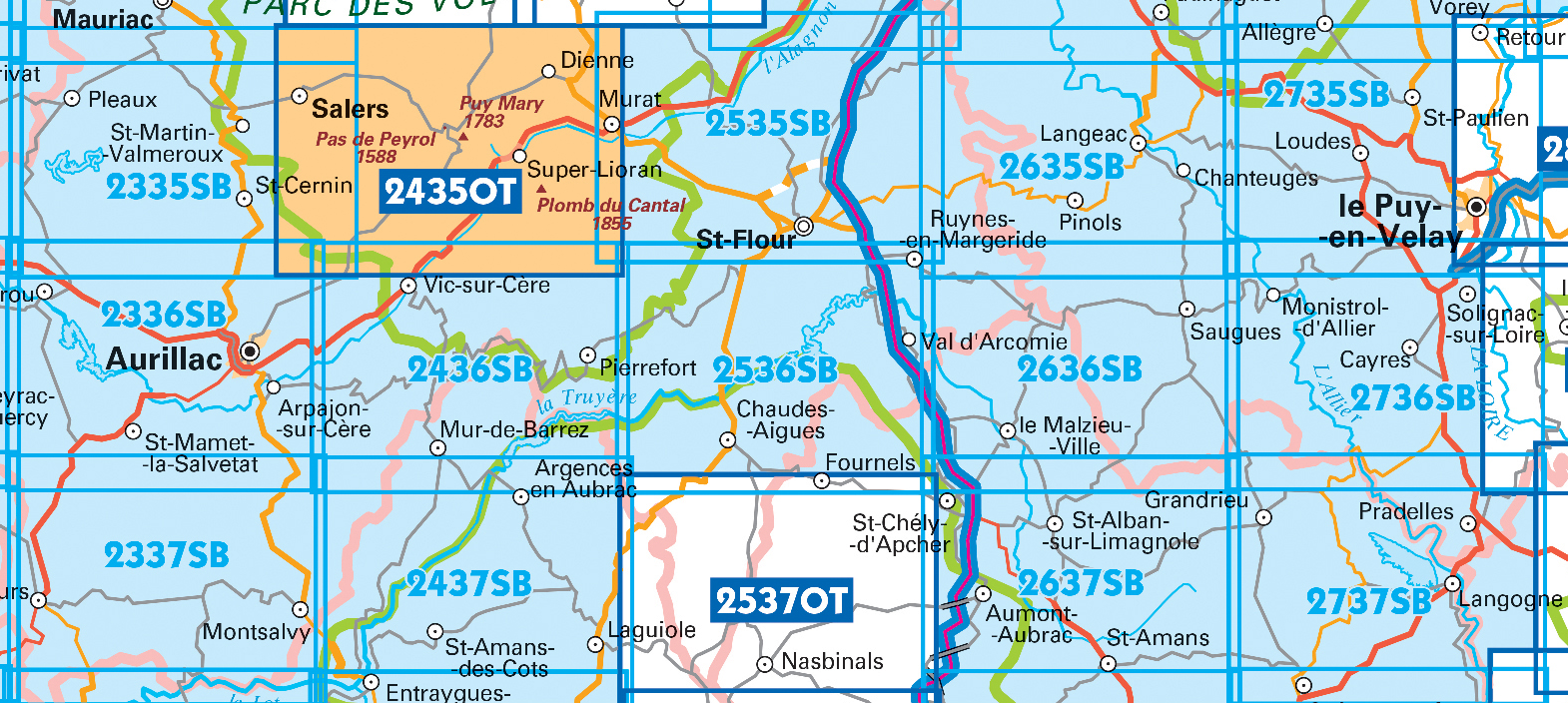
Producten op deze overzichtskaart:
Klik op een product om naar de pagina van dat product te gaan.
- Wandelkaart - Topografische kaart 2335 SB - Serie Bleue St-Cernin, Salers, Pleaux | IGN - Institut Géographique National
- Wandelkaart - Topografische kaart 2336 SB - Serie Bleue Aurillac, Barrage de St-Etienne-Cantalès, Laroquebrou | IGN - Institut Géographique National
- Wandelkaart - Topografische kaart 2337 SB - Serie Bleue Maurs | IGN - Institut Géographique National
- Wandelkaart - Topografische kaart 2435OT Monts du Cantal | IGN - Institut Géographique National
- Wandelkaart - Topografische kaart 2435OTR Monts du Cantal PNR des Volcans d'Auvergne | IGN - Institut Géographique National
- Wandelkaart - Topografische kaart 2436 SB - Serie Bleue Pierrefort, Barrage de Sarrans, Vic-sur-Cère | IGN - Institut Géographique National
- Wandelkaart - Topografische kaart 2437 SB - Serie Bleue Laguiole, Entraygues-sur-Truyere | IGN - Institut Géographique National
- Wandelkaart - Topografische kaart 2535 SB - Serie Bleue St-Flour, Murat | IGN - Institut Géographique National
- Wandelkaart - Topografische kaart 2536 SB - Serie Bleue Chaudes-Aigues, Gorges de la Truyère, Faverolles | IGN - Institut Géographique National
- Wandelkaart 2537OT Nasbinals - Monts d'Aubrac | IGN - Institut Géographique National
- Wandelkaart - Topografische kaart 2635 SB - Serie Bleue Langeac - Lavoûte-Chilhac | IGN - Institut Géographique National
- Wandelkaart - Topografische kaart 2636 SB - Serie Bleue Saugues | IGN - Institut Géographique National
- Wandelkaart - Topografische kaart 2637 SB - Serie Bleue Saint-Chély-d'Apcher | IGN - Institut Géographique National
- Wandelkaart - Topografische kaart 2735 SB - Serie Bleue Loudes, Le Puy-en-Velay | IGN - Institut Géographique National
- Wandelkaart - Topografische kaart 2736 SB - Serie Bleue Monistrol d'Allier, Solignac-sur-Loire, Cayres | IGN - Institut Géographique National
- Wandelkaart 2737 SB - Serie Bleue Langogne / Grandrieu | IGN - Institut Géographique National
 Wandelkaart - Topografische kaart 2731 SB - Serie Bleue Noirétable | IGN - Institut Géographique National
 Wandelkaart - Topografische kaart 2732 SB - Serie Bleue Ambert | IGN - Institut Géographique National
 Wandelkaart - Topografische kaart 2734 SB - Serie Bleue Allègre, La Chaise-Dieu, Craponne-sur-Arzon | IGN - Institut Géographique National
 Wandelkaart - Topografische kaart 2736 SB - Serie Bleue Monistrol d'Allier, Solignac-sur-Loire, Cayres | IGN - Institut Géographique National
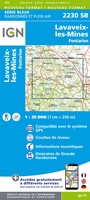 Wandelkaart - Topografische kaart 2230 SB - Serie Bleue Lavaveix-les-Mines, Pontarion | IGN - Institut Géographique National
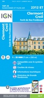 Wandelkaart - Topografische kaart 2312ET Clermont - Creil | IGN - Institut Géographique National
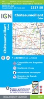 Wandelkaart - Topografische kaart 2327 SB - Serie Bleue Culan - Châteaumeillant | IGN - Institut Géographique National
 Wandelkaart - Topografische kaart 2328 SB - Serie Bleue Huriel - Boussac | IGN - Institut Géographique National
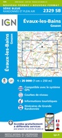 Wandelkaart - Topografische kaart 2329 SB - Serie Bleue Évaux-les-Bains | IGN - Institut Géographique National
 Wandelkaart - Topografische kaart 2330 SB - Serie Bleue Auzances - Aubusson | IGN - Institut Géographique National
 Wandelkaart - Topografische kaart 2331 SB - Serie Bleue Felletin | IGN - Institut Géographique National
 Wandelkaart - Topografische kaart 2332 SB - Serie Bleue Ussel | IGN - Institut Géographique National
 Wandelkaart - Topografische kaart 2333 SB - Serie Bleue Bort-les-Orgues | IGN - Institut Géographique National
 Wandelkaart - Topografische kaart 2334 SB - Serie Bleue Mauriac | IGN - Institut Géographique National
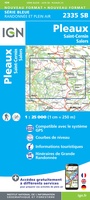 Wandelkaart - Topografische kaart 2335 SB - Serie Bleue St-Cernin, Salers, Pleaux | IGN - Institut Géographique National
 Wandelkaart - Topografische kaart 2336 SB - Serie Bleue Aurillac, Barrage de St-Etienne-Cantalès, Laroquebrou | IGN - Institut Géographique National
 Wandelkaart - Topografische kaart 2337 SB - Serie Bleue Maurs | IGN - Institut Géographique National
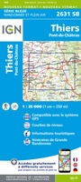 Wandelkaart - Topografische kaart 2631 SB - Serie Bleue Thiers | IGN - Institut Géographique National
 Wandelkaart - Topografische kaart 2632 SB - Serie Bleue Issoire | IGN - Institut Géographique National
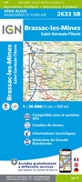 Wandelkaart - Topografische kaart 2633 SB - Serie Bleue St-Germain-l'Herm, Brassac-les-Mines | IGN - Institut Géographique National
Laatste reviews

Simpele keuze ondersteuning op website en hele snelle levering
Kort voor vakantie naar de Galapagos eilanden toch nog behoefte aan extra reisgids. Simpel kunnen bestellen en snelle levering. Zou niet weten wat er beter …
★★★★★ door Piet Grootenboer 25 juni 2026 | Heeft dit artikel gekocht
Te gek
Enorm mooie wereldkaart met details en snelle fijne levering.
★★★★★ door Steven Goyvaerts 25 juni 2026 | Heeft dit artikel gekocht
Goede gids voor pelgrims
Deze Cicerone gids over de via Francigena is uitermate geschikt om je route en etappes te plannen als je de Via Francigena vanuit Zwitserland gaat …
★★★★★ door Vic 24 juni 2026 | Heeft dit artikel gekocht
Aantrekkelijk en boordevol nuttige info
Heerlijk om al te kunnen voorbereiden op een fantastische vakantie met dit uiterst fijne boek.
★★★★★ door Harry 24 juni 2026 | Heeft dit artikel gekocht