Winkelwagen
Geen items in winkelwagen
Ga naar winkelwagen
Wandelkaarten - Cevennen
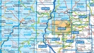
Overzichtskaarten
-
Wandelkaarten IGN 25.000 Cevennen
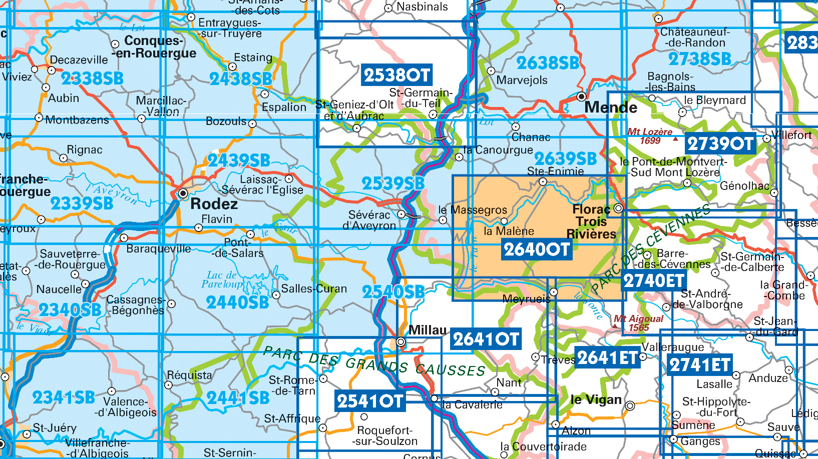
Producten op deze overzichtskaart:
Klik op een product om naar de pagina van dat product te gaan.
- Wandelkaart - Topografische kaart 2241 SB - Serie Bleue Albi, Cordes-sur-Ciel | IGN - Institut Géographique National
- Wandelkaart - Topografische kaart 2338 SB - Serie Bleue Decazeville | IGN - Institut Géographique National
- Wandelkaart - Topografische kaart 2339 SB - Serie Bleue Rieupeyroux - Moyrazes | IGN - Institut Géographique National
- Wandelkaart - Topografische kaart 2340 SB - Serie Bleue Naucelle, La Salvetat, Peyrales | IGN - Institut Géographique National
- Wandelkaart - Topografische kaart 2341 SB - Serie Bleue Carmaux, Valence-d'Albigeoi | IGN - Institut Géographique National
- Wandelkaart - Topografische kaart 2438 SB - Serie Bleue Espalion - Estaing | IGN - Institut Géographique National
- Wandelkaart - Topografische kaart 2439 SB - Serie Bleue Rodez - Laissac | IGN - Institut Géographique National
- Wandelkaart - Topografische kaart 2440 SB - Serie Bleue Salles-Curan, Lac de Pareloup, Cassagnes, Begonhes | IGN - Institut Géographique National
- Wandelkaart - Topografische kaart 2441 SB - Serie Bleue Réquista, Villefranche-de-Panat | IGN - Institut Géographique National
- Wandelkaart 2538OT Ste-Eulalie-d'Olt | IGN - Institut Géographique National
- Wandelkaart - Topografische kaart 2539 SB - Serie Bleue Sévérac-le-Château, Lapanouse | IGN - Institut Géographique National
- Wandelkaart 2540 SB - Serie Bleue St-Beauzély / Aguessac / Gorges du Tarn | IGN - Institut Géographique National
- Wandelkaart 2541OT Millau / St-Affrique / PNR Grands Causses | IGN - Institut Géographique National
- Wandelkaart - Topografische kaart 2638 SB - Serie Bleue Mende | IGN - Institut Géographique National
- Wandelkaart - Topografische kaart 2639 SB - Serie Bleue Florac | IGN - Institut Géographique National
- Topografische kaart - Wandelkaart 2640OT Gorges du Tarn et de la Jonte / Causse Méjan PNR | IGN - Institut Géographique National
- Wandelkaart - Topografische kaart 2641ET Mont Aigoual | IGN - Institut Géographique National
- Wandelkaart 2641OT Millau / Gorges de la Dourbie / Causse Noir | IGN - Institut Géographique National
- Wandelkaart - Topografische kaart 2738 SB - Serie Bleue Le Bleymard | IGN - Institut Géographique National
- Wandelkaart - Topografische kaart 2740ET Corniche des Cevennes | IGN - Institut Géographique National
- Wandelkaart - Topografische kaart 2741ET Saint-Hippolyte-du-Fort | IGN - Institut Géographique National
 Wandelkaart - Topografische kaart 2738 SB - Serie Bleue Le Bleymard | IGN - Institut Géographique National
 Wandelkaart - Topografische kaart 2740ET Corniche des Cevennes | IGN - Institut Géographique National
 Wandelkaart - Topografische kaart 2741ET Saint-Hippolyte-du-Fort | IGN - Institut Géographique National
 Wandelkaart - Topografische kaart 2241 SB - Serie Bleue Albi, Cordes-sur-Ciel | IGN - Institut Géographique National★★★★★
 Wandelkaart - Topografische kaart 2338 SB - Serie Bleue Decazeville | IGN - Institut Géographique National
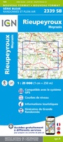 Wandelkaart - Topografische kaart 2339 SB - Serie Bleue Rieupeyroux - Moyrazes | IGN - Institut Géographique National
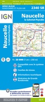 Wandelkaart - Topografische kaart 2340 SB - Serie Bleue Naucelle, La Salvetat, Peyrales | IGN - Institut Géographique National
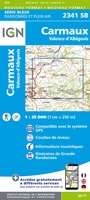 Wandelkaart - Topografische kaart 2341 SB - Serie Bleue Carmaux, Valence-d'Albigeoi | IGN - Institut Géographique National
 Wandelkaart - Topografische kaart 2539 SB - Serie Bleue Sévérac-le-Château, Lapanouse | IGN - Institut Géographique National
 Wandelkaart - Topografische kaart 2638 SB - Serie Bleue Mende | IGN - Institut Géographique National
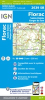 Wandelkaart - Topografische kaart 2639 SB - Serie Bleue Florac | IGN - Institut Géographique National
 Wandelkaart - Topografische kaart 2641ET Mont Aigoual | IGN - Institut Géographique National
 Wandelkaart - Topografische kaart 2642ET St.-Guilhem-le-Desert | IGN - Institut Géographique National
 Wandelkaart - Topografische kaart 2438 SB - Serie Bleue Espalion - Estaing | IGN - Institut Géographique National
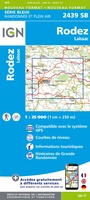 Wandelkaart - Topografische kaart 2439 SB - Serie Bleue Rodez - Laissac | IGN - Institut Géographique National
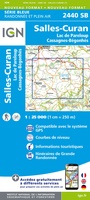 Wandelkaart - Topografische kaart 2440 SB - Serie Bleue Salles-Curan, Lac de Pareloup, Cassagnes, Begonhes | IGN - Institut Géographique National
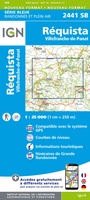 Wandelkaart - Topografische kaart 2441 SB - Serie Bleue Réquista, Villefranche-de-Panat | IGN - Institut Géographique National★★★★★
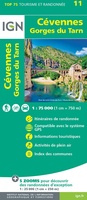 Wandelkaart - Fietskaart 75011 Cevennes PRN - Gorges du Tarn | IGN - Institut Géographique National★★★★★
 Wandelkaart - Fietskaart 75016 Cézallier – Monts du Cantal | IGN - Institut Géographique National
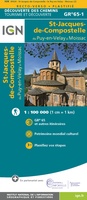 Wandelkaart - Pelgrimsroute (kaart) 89020 St-Jacques-de-Compostela GR 65-1, St Jacobsroute | IGN - Institut Géographique National
Laatste reviews

Simpele keuze ondersteuning op website en hele snelle levering
Kort voor vakantie naar de Galapagos eilanden toch nog behoefte aan extra reisgids. Simpel kunnen bestellen en snelle levering. Zou niet weten wat er beter …
★★★★★ door Piet Grootenboer 25 juni 2026 | Heeft dit artikel gekocht
Te gek
Enorm mooie wereldkaart met details en snelle fijne levering.
★★★★★ door Steven Goyvaerts 25 juni 2026 | Heeft dit artikel gekocht
Goede gids voor pelgrims
Deze Cicerone gids over de via Francigena is uitermate geschikt om je route en etappes te plannen als je de Via Francigena vanuit Zwitserland gaat …
★★★★★ door Vic 24 juni 2026 | Heeft dit artikel gekocht
Aantrekkelijk en boordevol nuttige info
Heerlijk om al te kunnen voorbereiden op een fantastische vakantie met dit uiterst fijne boek.
★★★★★ door Harry 24 juni 2026 | Heeft dit artikel gekocht