Winkelwagen
Geen items in winkelwagen
Ga naar winkelwagen
Wandelkaarten - Alpen - Mont Blanc - Haute Savoie
Overzichtskaarten
-
Wandelkaarten IGN 25.000 Haute Savoie - Mont Blanc
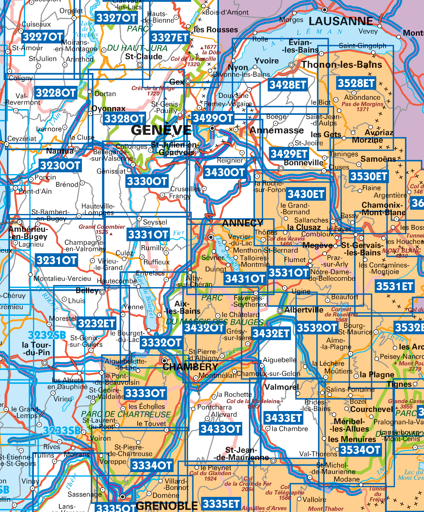
Producten op deze overzichtskaart:
Klik op een product om naar de pagina van dat product te gaan.
- Wandelkaart - Topografische kaart 3230OT Nantua - Hauteville-Lompnes - Nord Bugey | IGN - Institut Géographique National
- Wandelkaart - Topografische kaart 3231OT Ambérieu-en-Bugey | IGN - Institut Géographique National
- Wandelkaart - Topografische kaart 3232 SB - Serie Bleue la Tour-du-Pin | IGN - Institut Géographique National
- Wandelkaart - Topografische kaart 3330OT Bellegarde-sur-Valserine | IGN - Institut Géographique National
- Wandelkaart 3331OT Rumilly - Seyssel | IGN - Institut Géographique National
- Wandelkaart - Topografische kaart 3332OT Chambéry - Aix-les-Bains | IGN - Institut Géographique National
- Wandelkaart - Topografische kaart 3428ET Thonon les Bains - Évian les Bains | IGN - Institut Géographique National
- Wandelkaart - Topografische kaart 3429ET Bonneville | IGN - Institut Géographique National
- Wandelkaart - Topografische kaart 3429OT Geneve | IGN - Institut Géographique National
- Wandelkaart - Topografische kaart 3430ET La Clusaz - le Grand-Bornand | IGN - Institut Géographique National
- Wandelkaart - Topografische kaart 3430OT Mont Salève | IGN - Institut Géographique National
- Wandelkaart - Topografische kaart 3431OT Lac d'Annecy | IGN - Institut Géographique National
- Wandelkaart - Topografische kaart 3432ET Albertville | IGN - Institut Géographique National
- Wandelkaart - Topografische kaart 3432OT Massif des Bauges | IGN - Institut Géographique National
- Wandelkaart - Topografische kaart 3432OTR Massif des Bauges | IGN - Institut Géographique National
- Wandelkaart - Topografische kaart 3528ET Morzine | IGN - Institut Géographique National
- Wandelkaart - Topografische kaart 3528ETR Morzine | IGN - Institut Géographique National
- Wandelkaart - Topografische kaart 3530ET Samoëns | IGN - Institut Géographique National
- Wandelkaart - Topografische kaart 3531ET Saint-Gervais-les-Bains | IGN - Institut Géographique National
- Wandelkaart - Topografische kaart 3531OT Megève | IGN - Institut Géographique National
- Wandelkaart - Topografische kaart 3532OT Massif du Beaufortain | IGN - Institut Géographique National
- Wandelkaart - Topografische kaart 3630OT Chamonix-Mont-Blanc | IGN - Institut Géographique National
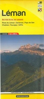 Wandelkaart 1 Leman | Didier Richard
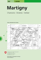 Wandelkaart - Topografische kaart 282 Martigny | Swisstopo
 Wandelkaart 282T Martigny | Swisstopo★★★★★
 Wandelkaart - Topografische kaart 292 Courmayeur | Swisstopo
 Wandelkaart - Topografische kaart 3330OT Bellegarde-sur-Valserine | IGN - Institut Géographique National
 Wandelkaart 3331OT Rumilly - Seyssel | IGN - Institut Géographique National
 Wandelkaart - Topografische kaart 3332OT Chambéry - Aix-les-Bains | IGN - Institut Géographique National
 Wandelkaart - Topografische kaart 3428ET Thonon les Bains - Évian les Bains | IGN - Institut Géographique National
 Wandelkaart - Topografische kaart 3429ET Bonneville | IGN - Institut Géographique National
 Wandelkaart - Topografische kaart 3429OT Geneve | IGN - Institut Géographique National
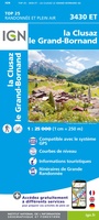 Wandelkaart - Topografische kaart 3430ET La Clusaz - le Grand-Bornand | IGN - Institut Géographique National★★★★★
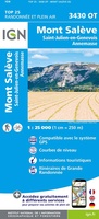 Wandelkaart - Topografische kaart 3430OT Mont Salève | IGN - Institut Géographique National
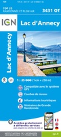 Wandelkaart - Topografische kaart 3431OT Lac d'Annecy | IGN - Institut Géographique National★★★★★
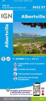 Wandelkaart - Topografische kaart 3432ET Albertville | IGN - Institut Géographique National
 Wandelkaart - Topografische kaart 3432OT Massif des Bauges | IGN - Institut Géographique National
 Wandelkaart - Topografische kaart 3433OT Allevard | IGN - Institut Géographique National
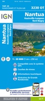 Wandelkaart - Topografische kaart 3230OT Nantua - Hauteville-Lompnes - Nord Bugey | IGN - Institut Géographique National
 Wandelkaart - Topografische kaart 3231OT Ambérieu-en-Bugey | IGN - Institut Géographique National
 Wandelkaart - Topografische kaart 3232 SB - Serie Bleue la Tour-du-Pin | IGN - Institut Géographique National
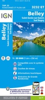 Wandelkaart - Topografische kaart 3232ET Belley | IGN - Institut Géographique National
Laatste reviews

Perfect
Snelle levering, prima verpakt, en de atlas van Duitsland is precies wat ik had verwacht, heel erg goed.
★★★★★ door Wil Van der Vlist 01 april 2026 | Heeft dit artikel gekocht
Vlotte service en een prima product!
Vlotte service en prima kaart van Slovenie
★★★★★ door Bert van Jaarsveld 31 maart 2026 | Heeft dit artikel gekocht
Lekker lichtgewicht, maar wel goed overzicht.
132 dagen GR20 in het voorjaar en alles zelf meenemen, betekent dat iedere gram telt. Deze kaart geeft een mooi overzicht van de hele route …
★★★★★ door Martin-Jan Strebe 31 maart 2026 | Heeft dit artikel gekocht
Fijn boekje! Helder en geruststellend
Vandaag bijkomen van de Fishermanstrail! Heb het boekje regelmatig erbij gepakt. De route staat duidelijk aangegeven en daarvoor het boek niet nodig. Wat prettig is …
★★★★★ door Inge Hendriks 31 maart 2026 | Heeft dit artikel gekocht