Winkelwagen
Geen items in winkelwagen
Ga naar winkelwagen
Wandelkaarten - Alpen - Mont Blanc - Haute Savoie
Overzichtskaarten
-
Wandelkaarten IGN 25.000 Haute Savoie - Mont Blanc
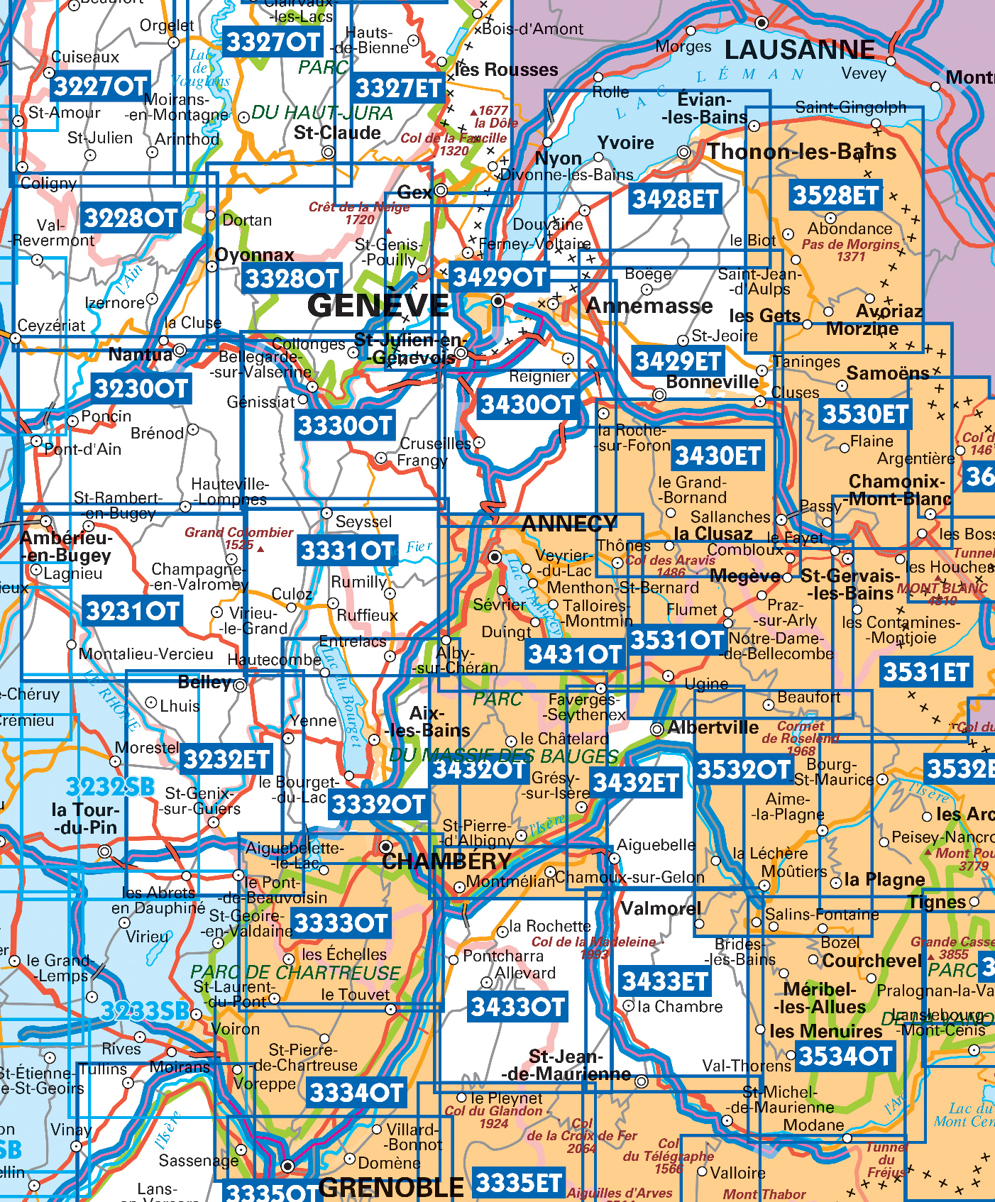
Producten op deze overzichtskaart:
Klik op een product om naar de pagina van dat product te gaan.
- Wandelkaart - Topografische kaart 3230OT Nantua - Hauteville-Lompnes - Nord Bugey | IGN - Institut Géographique National
- Wandelkaart - Topografische kaart 3231OT Ambérieu-en-Bugey | IGN - Institut Géographique National
- Wandelkaart - Topografische kaart 3232 SB - Serie Bleue la Tour-du-Pin | IGN - Institut Géographique National
- Wandelkaart - Topografische kaart 3330OT Bellegarde-sur-Valserine | IGN - Institut Géographique National
- Wandelkaart 3331OT Rumilly - Seyssel | IGN - Institut Géographique National
- Wandelkaart - Topografische kaart 3332OT Chambéry - Aix-les-Bains | IGN - Institut Géographique National
- Wandelkaart - Topografische kaart 3428ET Thonon les Bains - Évian les Bains | IGN - Institut Géographique National
- Wandelkaart - Topografische kaart 3429ET Bonneville | IGN - Institut Géographique National
- Wandelkaart - Topografische kaart 3429OT Geneve | IGN - Institut Géographique National
- Wandelkaart - Topografische kaart 3430ET La Clusaz - le Grand-Bornand | IGN - Institut Géographique National
- Wandelkaart - Topografische kaart 3430OT Mont Salève | IGN - Institut Géographique National
- Wandelkaart - Topografische kaart 3431OT Lac d'Annecy | IGN - Institut Géographique National
- Wandelkaart - Topografische kaart 3432ET Albertville | IGN - Institut Géographique National
- Wandelkaart - Topografische kaart 3432OT Massif des Bauges | IGN - Institut Géographique National
- Wandelkaart - Topografische kaart 3432OTR Massif des Bauges | IGN - Institut Géographique National
- Wandelkaart - Topografische kaart 3528ET Morzine | IGN - Institut Géographique National
- Wandelkaart - Topografische kaart 3528ETR Morzine | IGN - Institut Géographique National
- Wandelkaart - Topografische kaart 3530ET Samoëns | IGN - Institut Géographique National
- Wandelkaart - Topografische kaart 3531ET Saint-Gervais-les-Bains | IGN - Institut Géographique National
- Wandelkaart - Topografische kaart 3531OT Megève | IGN - Institut Géographique National
- Wandelkaart - Topografische kaart 3532OT Massif du Beaufortain | IGN - Institut Géographique National
- Wandelkaart - Topografische kaart 3630OT Chamonix-Mont-Blanc | IGN - Institut Géographique National
 Wandelkaart - Topografische kaart 3531ET Saint-Gervais-les-Bains | IGN - Institut Géographique National★★★★★
 Wandelkaart - Topografische kaart 3531OT Megève | IGN - Institut Géographique National★★★★★
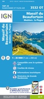 Wandelkaart - Topografische kaart 3532OT Massif du Beaufortain | IGN - Institut Géographique National★★★★★
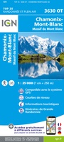 Wandelkaart - Topografische kaart 3630OT Chamonix-Mont-Blanc | IGN - Institut Géographique National★★★★★★★★★★
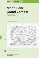 Wandelkaart - Topografische kaart 5003 Mont Blanc Grand Combin | Swisstopo
 Wandelkaart Walker’s Haute Route: Chamonix to Zermatt | Knife Edge Outdoor
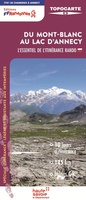 Wandelkaart T741 Du Mont-Blanc au lac d'Annecy | FFRP
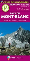 Wandelkaart A1 Pays du Mont Blanc | Rando Editions
 Fietskaart - Wandelkaart 75002 Chartreuse - Belledonne | IGN - Institut Géographique National
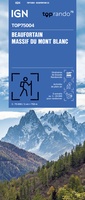 Fietskaart - Wandelkaart 75004 Beaufortin Massif du Mont Blanc | IGN - Institut Géographique National
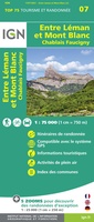 Fietskaart - Wandelkaart 75007 Entre Léman et Mont Blanc | IGN - Institut Géographique National★★★★★
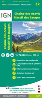 Fietskaart - Wandelkaart 75032 Chaine des Aravis - Massif des Bauges | IGN - Institut Géographique National
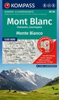 Wandelkaart 85 Mont Blanc - Monte Bianco | Kompass★★★★★★★★★★
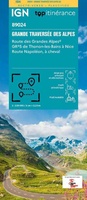 Wandelkaart - Wegenkaart - landkaart 89024 Grande traversée des Alpes GR5 | IGN - Institut Géographique National★★★★★★★★★★
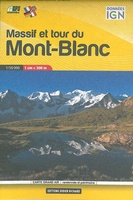 Wandelkaart Massif et tour du Mont-Blanc | Didier Richard
 Wandelkaart Bornes Aravis Val d'Arly | Didier Richard
 Wandelkaart Tour du Mont Blanc | L'Escursionista editore★★★★★
Laatste reviews

Fijne kaart
Goede leesbare kaart inclusief route suggesties. Heb alleen op de kaart gelopen, zonder mobiele apparatuur. Heel goed te doen.
★★★★★ door Nick 10 juni 2026 | Heeft dit artikel gekocht
Mooie kaart van een prachtig gebied
Als een prachtig gebied zo'n kaart heeft, dan is het extra genieten om gedetailleerd op avontuur te gaan!
★★★★★ door Stephanie 10 juni 2026 | Heeft dit artikel gekocht
Direct geleverd
Ik had de kaart nodig voor onze motorvakantie en het was wat krap voor vertrek. Zwerver leverde snel en daardoor konden we met veel plezier …
★★★★★ door Wim 09 juni 2026 | Heeft dit artikel gekocht
Prima keuze
Prima gids, goed bruikbaar, handig formaat juist wat we zochten voor onze reis. Daarbij prima en snelle service van de Zwerver!
★★★★★ door Marti Kwakernaak 09 juni 2026 | Heeft dit artikel gekocht