Winkelwagen
Geen items in winkelwagen
Ga naar winkelwagen
Wandelkaarten - Alpen - Vaucluse - Drome - Vercors
Overzichtskaarten
-
Wandelkaarten IGN 25.000 Franse Alpen: Vercors - Drome - Vaucluse
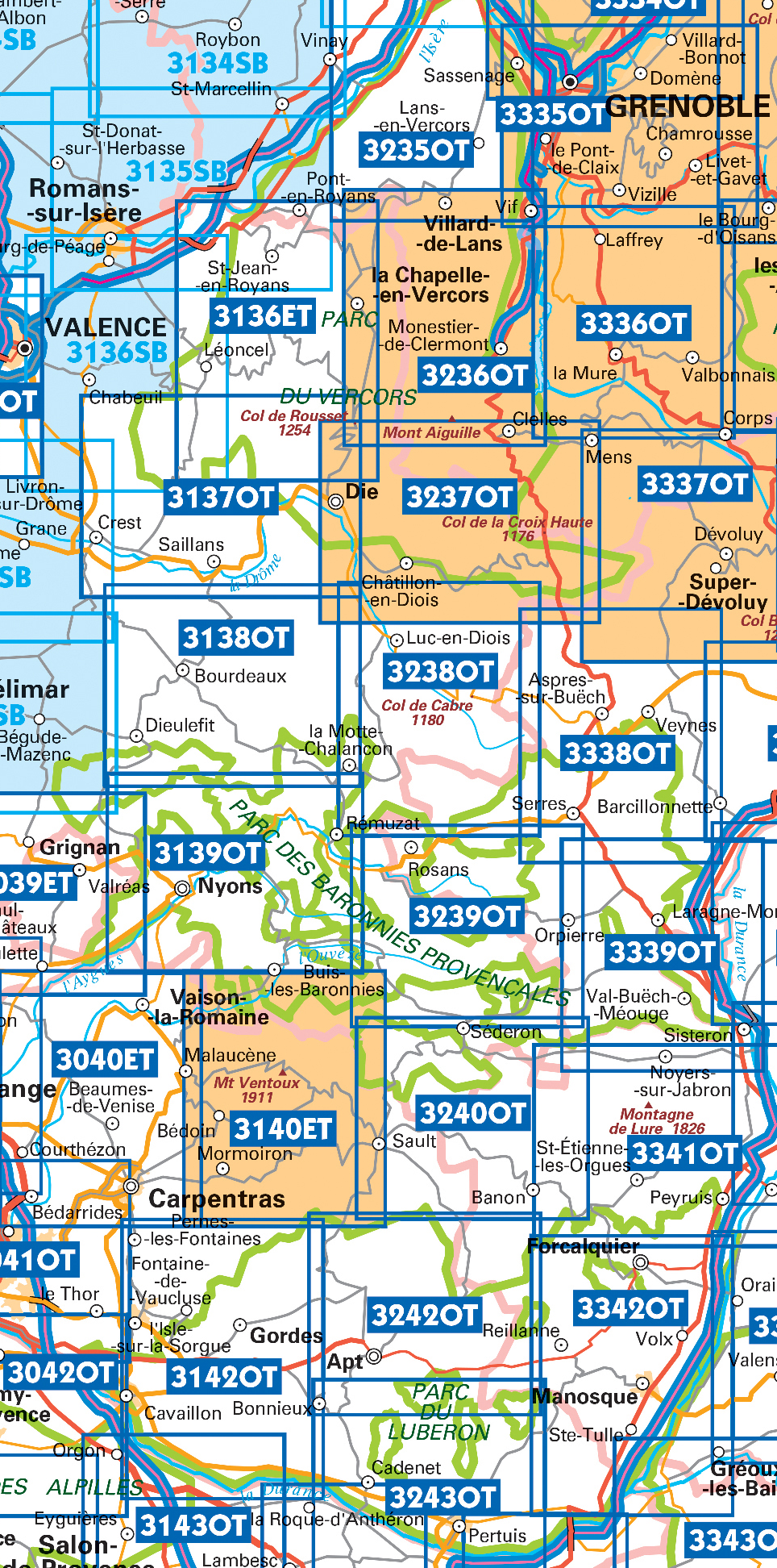
Producten op deze overzichtskaart:
Klik op een product om naar de pagina van dat product te gaan.
- Wandelkaart - Topografische kaart 3037 SB - Serie Bleue Crest – La Voulte-sur-Rhône | IGN - Institut Géographique National
- Wandelkaart - Topografische kaart 3038 SB - Serie Bleue Montélimar | IGN - Institut Géographique National
- Wandelkaart - Topografische kaart 3039ET Valréas | IGN - Institut Géographique National
- Wandelkaart - Topografische kaart 3040ET Carpentras | IGN - Institut Géographique National
- Wandelkaart - Topografische kaart 3040OT Orange | IGN - Institut Géographique National
- Wandelkaart - Topografische kaart 3041OT Avignon | IGN - Institut Géographique National
- Wandelkaart - Topografische kaart 3136 SB - Serie Bleue Bourg-de-Péage – Chabeuil | IGN - Institut Géographique National
- Wandelkaart - Topografische kaart 3136ET Combe Laval | IGN - Institut Géographique National
- Wandelkaart - Topografische kaart 3137OT Die – Crest – Saillans | IGN - Institut Géographique National
- Wandelkaart - Topografische kaart 3138OT Dieulefit | IGN - Institut Géographique National
- Wandelkaart - Topografische kaart 3139OT Nyons - Rémuzat | IGN - Institut Géographique National
- Wandelkaart - Topografische kaart 3140ET Mont Ventoux | IGN - Institut Géographique National
- Wandelkaart - Topografische kaart 3140ETR Mont Ventoux | IGN - Institut Géographique National
- Wandelkaart - Topografische kaart 3142OT Cavaillon | IGN - Institut Géographique National
- Wandelkaart - Topografische kaart 3235OT Autrans | IGN - Institut Géographique National
- Wandelkaart 3236OT Villard-de-Lans | IGN - Institut Géographique National
- Wandelkaart - Topografische kaart 3236OTR Villard-de-Lans / Mont Aiguille / PNR du Vercors | IGN - Institut Géographique National1
- Wandelkaart - Topografische kaart 3237OT Glandasse | IGN - Institut Géographique National
- Wandelkaart - Topografische kaart 3237OTR Glandasse / Col de la Croix-Haute / PNR du Vercors | IGN - Institut Géographique National
- Wandelkaart 3239OT Rosans / Orpierre / Baronnies Orientales | IGN - Institut Géographique National
- Wandelkaart - Topografische kaart 3240OT Banon - Sault | IGN - Institut Géographique National
- Wandelkaart - Topografische kaart 3242OT Apt | IGN - Institut Géographique National
- Wandelkaart - Topografische kaart 3243OT Pertuis - Lourmarin | IGN - Institut Géographique National
- Wandelkaart - Topografische kaart 3338OT Serres - Veynes | IGN - Institut Géographique National
- Wandelkaart 3339OT Sisteron / Laragne-Montéglin / Montagne de Chabre | IGN - Institut Géographique National
- Wandelkaart - Topografische kaart 3341OT Montagne de Lure | IGN - Institut Géographique National
- Wandelkaart - Topografische kaart 3342OT Manosque - Forcalquier | IGN - Institut Géographique National
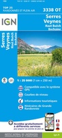 Wandelkaart - Topografische kaart 3338OT Serres - Veynes | IGN - Institut Géographique National
 Wandelkaart - Topografische kaart 3341OT Montagne de Lure | IGN - Institut Géographique National
 Wandelkaart - Topografische kaart 3342OT Manosque - Forcalquier | IGN - Institut Géographique National
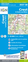 Wandelkaart - Topografische kaart 3037 SB - Serie Bleue Crest – La Voulte-sur-Rhône | IGN - Institut Géographique National
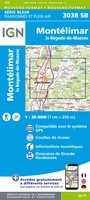 Wandelkaart - Topografische kaart 3038 SB - Serie Bleue Montélimar | IGN - Institut Géographique National
 Wandelkaart - Topografische kaart 3039ET Valréas | IGN - Institut Géographique National
 Wandelkaart - Topografische kaart 3040ET Carpentras | IGN - Institut Géographique National
 Wandelkaart - Topografische kaart 3040OT Orange | IGN - Institut Géographique National
 Wandelkaart - Topografische kaart 3041OT Avignon | IGN - Institut Géographique National
 Wandelkaart - Topografische kaart 3042OT Saint-Rémy-de-Provence | IGN - Institut Géographique National★★★★★
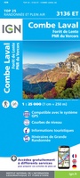 Wandelkaart - Topografische kaart 3136ET Combe Laval | IGN - Institut Géographique National★★★★★
 Wandelkaart - Topografische kaart 3137OT Die – Crest – Saillans | IGN - Institut Géographique National★★★★★
 Wandelkaart - Topografische kaart 3138OT Dieulefit | IGN - Institut Géographique National★★★★★
 Wandelkaart - Topografische kaart 3139OT Nyons - Rémuzat | IGN - Institut Géographique National★★★★★
 Wandelkaart - Topografische kaart 3140ET Mont Ventoux | IGN - Institut Géographique National★★★★★★★★★★
 Wandelkaart - Topografische kaart 3142OT Cavaillon | IGN - Institut Géographique National
 Wandelkaart - Topografische kaart 3235OT Autrans | IGN - Institut Géographique National★★★★★
 Wandelkaart 3236OT Villard-de-Lans | IGN - Institut Géographique National★★★★★
 Wandelkaart - Topografische kaart 3237OT Glandasse | IGN - Institut Géographique National
 Wandelkaart - Topografische kaart 3240OT Banon - Sault | IGN - Institut Géographique National★★★★★
Laatste reviews

Uitstekend
Zeer vlotte levering. Prima ingepakt. Kaart voldoet aan de verwachtingen.
★★★★★ door John Gielen 20 maart 2026 | Heeft dit artikel gekocht
Prima artikel en snel afgeleverd
Prima artikel en snel afgeleverd!
★★★★★ door Cees veltman 20 maart 2026 | Heeft dit artikel gekocht
Perfect e kaart
Een mooie bruikbare kaart, goede kwaliteit papier.
★★★★★ door Ferry 20 maart 2026 | Heeft dit artikel gekocht
Prima wandelkaart
Zoals verwacht weer een prima wandelkaart en snelle levering
★★★★★ door Frank 19 maart 2026 | Heeft dit artikel gekocht