Winkelwagen
Geen items in winkelwagen
Ga naar winkelwagen
Wandelkaarten - Alpen - Vaucluse - Drome - Vercors
Overzichtskaarten
-
Wandelkaarten IGN 25.000 Franse Alpen: Vercors - Drome - Vaucluse
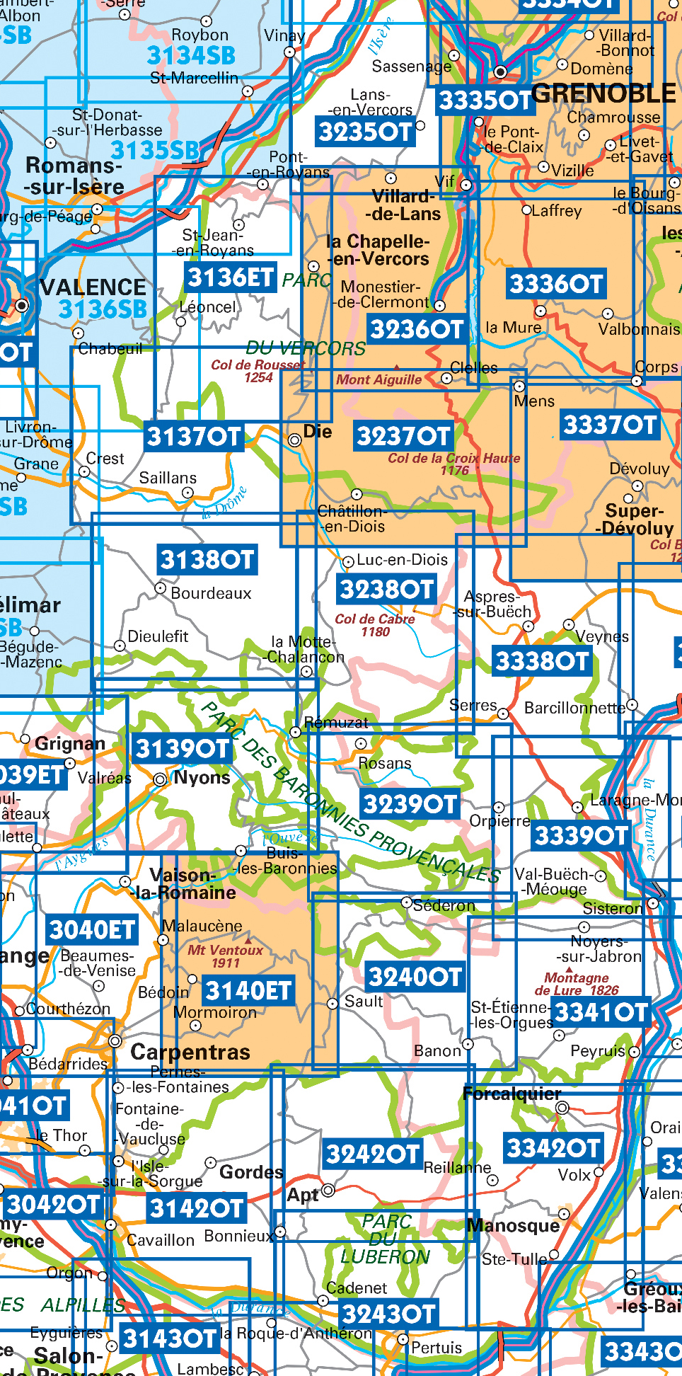
Producten op deze overzichtskaart:
Klik op een product om naar de pagina van dat product te gaan.
- Wandelkaart - Topografische kaart 3037SB Crest – La Voulte-sur-Rhône | IGN - Institut Géographique National
- Wandelkaart - Topografische kaart 3038SB Montélimar | IGN - Institut Géographique National
- Wandelkaart - Topografische kaart 3039ET Valréas | IGN - Institut Géographique National
- Wandelkaart - Topografische kaart 3040ET Carpentras | IGN - Institut Géographique National
- Wandelkaart - Topografische kaart 3040OT Orange | IGN - Institut Géographique National
- Wandelkaart - Topografische kaart 3041OT Avignon | IGN - Institut Géographique National
- Wandelkaart - Topografische kaart 3136ET Combe Laval | IGN - Institut Géographique National
- Wandelkaart - Topografische kaart 3136SB Bourg-de-Péage – Chabeuil | IGN - Institut Géographique National
- Wandelkaart - Topografische kaart 3137OT Die – Crest – Saillans | IGN - Institut Géographique National
- Wandelkaart - Topografische kaart 3138OT Dieulefit | IGN - Institut Géographique National
- Wandelkaart - Topografische kaart 3139OT Nyons - Rémuzat | IGN - Institut Géographique National
- Wandelkaart - Topografische kaart 3140ET Mont Ventoux | IGN - Institut Géographique National
- Wandelkaart - Topografische kaart 3140ETR Mont Ventoux | IGN - Institut Géographique National
- Wandelkaart - Topografische kaart 3142OT Cavaillon | IGN - Institut Géographique National
- Wandelkaart - Topografische kaart 3235OT Autrans | IGN - Institut Géographique National
- Wandelkaart 3236OT Villard-de-Lans | IGN - Institut Géographique National
- Wandelkaart - Topografische kaart 3237OT Glandasse | IGN - Institut Géographique National
- Wandelkaart - Topografische kaart 3238OT Luc-en-Diois | IGN - Institut Géographique National
- Wandelkaart - Topografische kaart 3239OT Rosans - Orpierre | IGN - Institut Géographique National
- Wandelkaart - Topografische kaart 3240OT Banon - Sault | IGN - Institut Géographique National
- Wandelkaart - Topografische kaart 3242OT Apt | IGN - Institut Géographique National
- Wandelkaart - Topografische kaart 3243OT Pertuis - Lourmarin | IGN - Institut Géographique National
- Wandelkaart - Topografische kaart 3338OT Serres - Veynes | IGN - Institut Géographique National
- Wandelkaart - Topografische kaart 3339OT Sisteron | IGN - Institut Géographique National
- Wandelkaart - Topografische kaart 3341OT Montagne de Lure | IGN - Institut Géographique National
- Wandelkaart - Topografische kaart 3342OT Manosque - Forcalquier | IGN - Institut Géographique National
 Fietskaart - Wandelkaart 08 Ubaye, Val d'Allos, Lac de Serre-Poncon | IGN - Institut Géographique National
 Fietskaart - Wandelkaart 09 Diois, Devoluy, Haute-Vallée de la Drôme | IGN - Institut Géographique National★★★★★
 Wandelkaart - Topografische kaart 3042OT Saint-Rémy-de-Provence | IGN - Institut Géographique National★★★★★
 Wandelkaart - Topografische kaart 3037SB Crest – La Voulte-sur-Rhône | IGN - Institut Géographique National
 Wandelkaart - Topografische kaart 3038SB Montélimar | IGN - Institut Géographique National
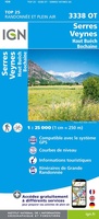 Wandelkaart - Topografische kaart 3338OT Serres - Veynes | IGN - Institut Géographique National
 Wandelkaart - Topografische kaart 3339OT Sisteron | IGN - Institut Géographique National★★★★★
 Wandelkaart - Topografische kaart 3243OT Pertuis - Lourmarin | IGN - Institut Géographique National★★★★★
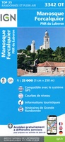 Wandelkaart - Topografische kaart 3342OT Manosque - Forcalquier | IGN - Institut Géographique National
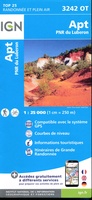 Wandelkaart - Topografische kaart 3242OT Apt | IGN - Institut Géographique National
 Wandelkaart - Topografische kaart 3142OT Cavaillon | IGN - Institut Géographique National
 Wandelkaart - Topografische kaart 3041OT Avignon | IGN - Institut Géographique National
 Wandelkaart - Topografische kaart 3040OT Orange | IGN - Institut Géographique National
 Wandelkaart - Topografische kaart 3040ET Carpentras | IGN - Institut Géographique National
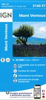 Wandelkaart - Topografische kaart 3140ET Mont Ventoux | IGN - Institut Géographique National★★★★★★★★★★
 Wandelkaart - Topografische kaart 3240OT Banon - Sault | IGN - Institut Géographique National★★★★★
 Wandelkaart - Topografische kaart 3341OT Montagne de Lure | IGN - Institut Géographique National
 Wandelkaart - Topografische kaart 3039ET Valréas | IGN - Institut Géographique National
 Wandelkaart - Topografische kaart 3139OT Nyons - Rémuzat | IGN - Institut Géographique National★★★★★
 Wandelkaart - Topografische kaart 3239OT Rosans - Orpierre | IGN - Institut Géographique National★★★★★
Laatste reviews

Zeer tevreden
Op de hoogte gehouden van de vertraging. Zodra binnen, snel verstuurd. Hartelijk dank!
★★★★★ door Els van Blokland 24 april 2024 | Heeft dit artikel gekocht
Geweldige praktische wandelkaart
Wij zijn erg blij met deze wandelkaart, alles staat zeer duidelijk aangegeven, voordeel is dat de kaart geplastificeerd is, deze kaart is het geld zeker …
★★★★★ door Rene van den Driesche 24 april 2024 | Heeft dit artikel gekocht
Uitstekend
Uit het ruime aanbod kaarten een kaart met veel details gekozen, waarmee de voorbereiding van reis leuk wordt
★★★★★ door Ad 24 april 2024 | Heeft dit artikel gekocht
Goede duidelijke kaart
Handige informatieve kaart van de kust van Normandie van D Day.Wij gebruiken de kaart voor het voorbereiden van de Herdenking 80 jaar.
★★★★★ door Mary 24 april 2024 | Heeft dit artikel gekocht