Winkelwagen
Geen items in winkelwagen
Ga naar winkelwagen
Wandelkaarten - Cevennen
Overzichtskaarten
-
Wandelkaarten IGN 25.000 Cevennen
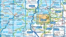
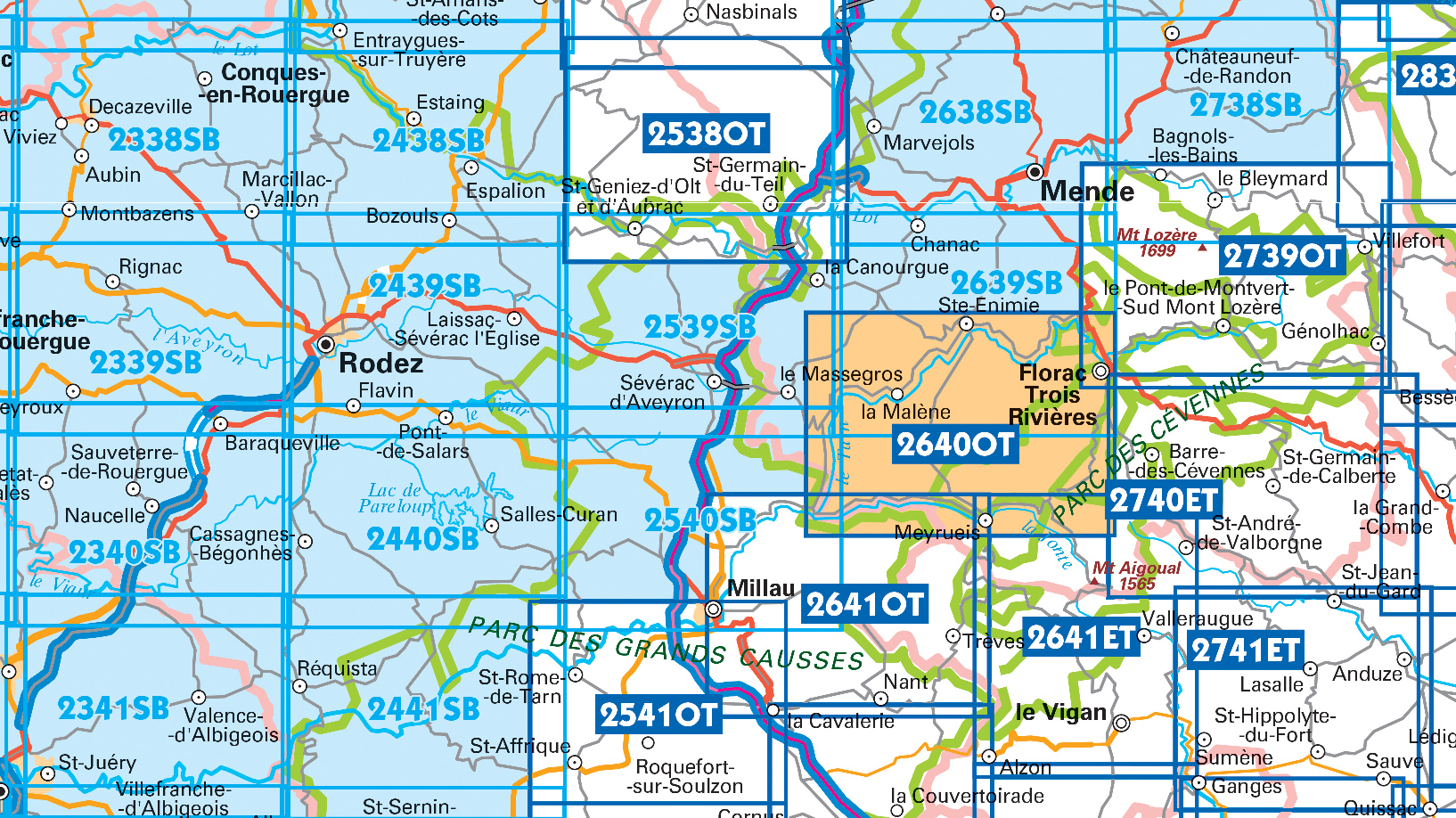
Producten op deze overzichtskaart:
Klik op een product om naar de pagina van dat product te gaan.
- Wandelkaart - Topografische kaart 2241 SB - Serie Bleue Albi, Cordes-sur-Ciel | IGN - Institut Géographique National
- Wandelkaart - Topografische kaart 2338 SB - Serie Bleue Decazeville | IGN - Institut Géographique National
- Wandelkaart - Topografische kaart 2339 SB - Serie Bleue Rieupeyroux - Moyrazes | IGN - Institut Géographique National
- Wandelkaart - Topografische kaart 2340 SB - Serie Bleue Naucelle, La Salvetat, Peyrales | IGN - Institut Géographique National
- Wandelkaart - Topografische kaart 2341 SB - Serie Bleue Carmaux, Valence-d'Albigeoi | IGN - Institut Géographique National
- Wandelkaart - Topografische kaart 2438 SB - Serie Bleue Espalion - Estaing | IGN - Institut Géographique National
- Wandelkaart - Topografische kaart 2439 SB - Serie Bleue Rodez - Laissac | IGN - Institut Géographique National
- Wandelkaart - Topografische kaart 2440 SB - Serie Bleue Salles-Curan, Lac de Pareloup, Cassagnes, Begonhes | IGN - Institut Géographique National
- Wandelkaart - Topografische kaart 2441 SB - Serie Bleue Réquista, Villefranche-de-Panat | IGN - Institut Géographique National
- Wandelkaart 2538OT Ste-Eulalie-d'Olt | IGN - Institut Géographique National
- Wandelkaart - Topografische kaart 2539 SB - Serie Bleue Sévérac-le-Château, Lapanouse | IGN - Institut Géographique National
- Wandelkaart 2540 SB - Serie Bleue St-Beauzély / Aguessac / Gorges du Tarn | IGN - Institut Géographique National
- Wandelkaart 2541OT Millau / St-Affrique / PNR Grands Causses | IGN - Institut Géographique National
- Wandelkaart - Topografische kaart 2638 SB - Serie Bleue Mende | IGN - Institut Géographique National
- Wandelkaart - Topografische kaart 2639 SB - Serie Bleue Florac | IGN - Institut Géographique National
- Topografische kaart - Wandelkaart 2640OT Gorges du Tarn et de la Jonte / Causse Méjan PNR | IGN - Institut Géographique National
- Wandelkaart - Topografische kaart 2641ET Mont Aigoual | IGN - Institut Géographique National
- Wandelkaart 2641OT Millau / Gorges de la Dourbie / Causse Noir | IGN - Institut Géographique National
- Wandelkaart - Topografische kaart 2738 SB - Serie Bleue Le Bleymard | IGN - Institut Géographique National
- Wandelkaart - Topografische kaart 2739OT Mont Lozère - Florac | IGN - Institut Géographique National
- Wandelkaart - Topografische kaart 2740ET Corniche des Cevennes | IGN - Institut Géographique National
- Wandelkaart - Topografische kaart 2741ET Saint-Hippolyte-du-Fort | IGN - Institut Géographique National
 Wandelkaart - Topografische kaart 2241 SB - Serie Bleue Albi, Cordes-sur-Ciel | IGN - Institut Géographique National★★★★★
 Wandelkaart - Topografische kaart 2338 SB - Serie Bleue Decazeville | IGN - Institut Géographique National
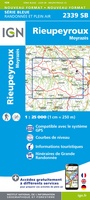 Wandelkaart - Topografische kaart 2339 SB - Serie Bleue Rieupeyroux - Moyrazes | IGN - Institut Géographique National
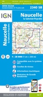 Wandelkaart - Topografische kaart 2340 SB - Serie Bleue Naucelle, La Salvetat, Peyrales | IGN - Institut Géographique National
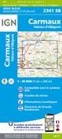 Wandelkaart - Topografische kaart 2341 SB - Serie Bleue Carmaux, Valence-d'Albigeoi | IGN - Institut Géographique National
 Wandelkaart - Topografische kaart 2741ET Saint-Hippolyte-du-Fort | IGN - Institut Géographique National
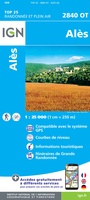 Wandelkaart - Topografische kaart 2840OT Ales | IGN - Institut Géographique National
 Wandelkaart - Topografische kaart 2438 SB - Serie Bleue Espalion - Estaing | IGN - Institut Géographique National
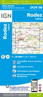 Wandelkaart - Topografische kaart 2439 SB - Serie Bleue Rodez - Laissac | IGN - Institut Géographique National
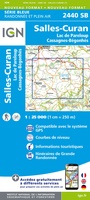 Wandelkaart - Topografische kaart 2440 SB - Serie Bleue Salles-Curan, Lac de Pareloup, Cassagnes, Begonhes | IGN - Institut Géographique National
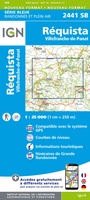 Wandelkaart - Topografische kaart 2441 SB - Serie Bleue Réquista, Villefranche-de-Panat | IGN - Institut Géographique National★★★★★
 Wandelkaart - Topografische kaart 2539 SB - Serie Bleue Sévérac-le-Château, Lapanouse | IGN - Institut Géographique National
 Wandelkaart - Topografische kaart 2638 SB - Serie Bleue Mende | IGN - Institut Géographique National
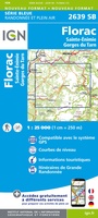 Wandelkaart - Topografische kaart 2639 SB - Serie Bleue Florac | IGN - Institut Géographique National
 Wandelkaart - Topografische kaart 2641ET Mont Aigoual | IGN - Institut Géographique National
 Wandelkaart - Topografische kaart 2642ET St.-Guilhem-le-Desert | IGN - Institut Géographique National
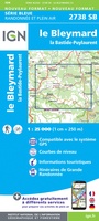 Wandelkaart - Topografische kaart 2738 SB - Serie Bleue Le Bleymard | IGN - Institut Géographique National
 Wandelkaart - Topografische kaart 2739OT Mont Lozère - Florac | IGN - Institut Géographique National★★★★★
 Wandelkaart - Topografische kaart 2740ET Corniche des Cevennes | IGN - Institut Géographique National
 Wandelkaart - Pelgrimsroute (kaart) 89020 St-Jacques-de-Compostela GR 65-1, St Jacobsroute | IGN - Institut Géographique National
Laatste reviews

Jacobspad Uithuizen - Hasselt; De ontvanger was er heel blij mee
Mooi om te geven
★★★★★ door Martsjen Wiersma 01 januari 2026 | Heeft dit artikel gekocht
Moeilijk te zien
Voor mij een lastig te gebruiken plattegrond. Moeilijk om hiermee te oriënteren in de omgeving.
★★★★★ door Marco 01 januari 2026 | Heeft dit artikel gekocht
vermoedelijk een nuttig boekje naast Google translate
dit boekje aangeschaft ter ondersteuning bij mogelijke taalproblemen; de waarde ervan zal blijken tijden de reis in juni 2026
★★★★★ door Bert Bosch 31 december 2025 | Heeft dit artikel gekocht
inspiratie voor de te kiezen reisroute
het is nog te vroeg om iets zinnigs over het up-to-date zijn van de wegenkaart te vermelden, daar de reis pas over enige maanden start
★★★★★ door Bert Bosch 31 december 2025 | Heeft dit artikel gekocht