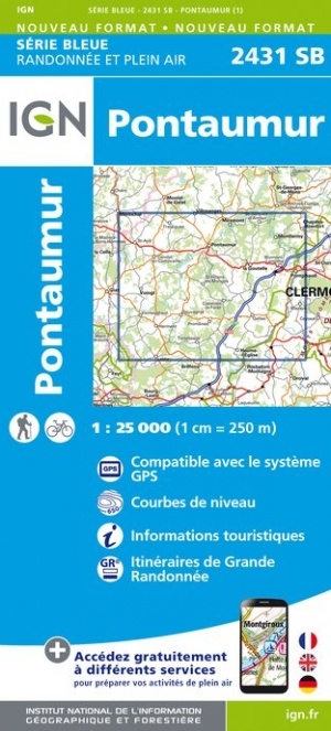
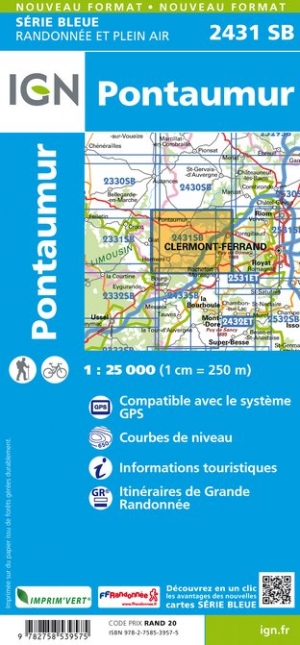
Wandelkaart - Topografische kaart 2431SB Pontaumur | IGN - Institut Géographique National (9782758539575)
- ISBN / CODE: 9782758539575
- Editie: meest recente versie
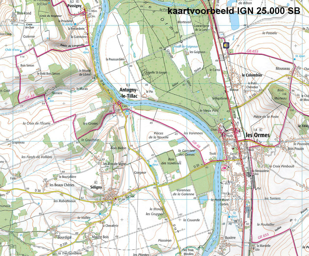
- Schaal: 1:25000
- Uitgever: IGN - Institut Géographique National
- Soort: Topografische kaart, Wandelkaart
- Serie: Serie bleue
- Taal: Frans
- Schrijf als eerste een review
-
€ 16,95
Leverbaar in 3 - 5 werkdagen in huis in Nederland Levertijd Belgie
Gratis verzending in Nederland vanaf €35,-

-
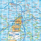
Topografische kaarten IGN 25.000 Auvergne : Noord


Producten op deze overzichtskaart:
Klik op een product om naar de pagina van dat product te gaan.
- Wandelkaart - Topografische kaart 2327SB Culan - Châteaumeillant | IGN - Institut Géographique National
- Wandelkaart - Topografische kaart 2328SB Huriel - Boussac | IGN - Institut Géographique National
- Wandelkaart - Topografische kaart 2329SB Évaux-les-Bains | IGN - Institut Géographique National
- Wandelkaart - Topografische kaart 2330SB Auzances - Aubusson | IGN - Institut Géographique National
- Wandelkaart - Topografische kaart 2331SB Felletin | IGN - Institut Géographique National
- Wandelkaart - Topografische kaart 2332SB Ussel | IGN - Institut Géographique National
- Wandelkaart - Topografische kaart 2333SB Bort-les-Orgues | IGN - Institut Géographique National
- Wandelkaart - Topografische kaart 2334SB Mauriac | IGN - Institut Géographique National
- Topografische kaart - Wandelkaart 2427SB Cérilly | IGN - Institut Géographique National
- Wandelkaart - Topografische kaart 2428SB Montluçon | IGN - Institut Géographique National
- Wandelkaart - Topografische kaart 2429SB Saint-Éloy-les-Mines | IGN - Institut Géographique National
- Wandelkaart - Topografische kaart 2430SB Saint-Gervais d'Auvergne | IGN - Institut Géographique National
- Wandelkaart - Topografische kaart 2431SB Pontaumur | IGN - Institut Géographique National
- Wandelkaart - Topografische kaart 2432ET Massif du Sancy | IGN - Institut Géographique National
- Topografische kaart - Wandelkaart 2433SB la Bourboule | IGN - Institut Géographique National
- Wandelkaart - Topografische kaart 2434OT Riom es Montagnes, Bort-les-Orgues, PNR des Volcans d'Auvergne | IGN - Institut Géographique National
- Topografische kaart - Wandelkaart 2527SB Bourbon-l'Archambault | IGN - Institut Géographique National
- Wandelkaart - Topografische kaart 2528SB Tronget - Montmarault | IGN - Institut Géographique National
- Wandelkaart - Topografische kaart 2529SB Gannat | IGN - Institut Géographique National
- Wandelkaart - Topografische kaart 2530SB Aigueperse, Châtel-Guyon, Manzat | IGN - Institut Géographique National
- Wandelkaart - Topografische kaart 2531ET Chaîne des Puys | IGN - Institut Géographique National
- Wandelkaart - Topografische kaart 2531SB Clermont-Ferrand | IGN - Institut Géographique National
- Wandelkaart - Topografische kaart 2532SB Veyre-Monton, Issoire | IGN - Institut Géographique National
- Wandelkaart - Topografische kaart 2534OT Monts du Cezallier, Condat, Allanche, Parc Volcans d'Auvergne | IGN - Institut Géographique National
- Wandelkaart - Topografische kaart 2534SB Massiac - Ardes | IGN - Institut Géographique National
- Wandelkaart - Topografische kaart 2631SB Thiers | IGN - Institut Géographique National
- Wandelkaart - Topografische kaart 2632SB Issoire | IGN - Institut Géographique National
- Wandelkaart - Topografische kaart 2633SB St-Germain-l'Herm, Brassac-les-Mines | IGN - Institut Géographique National
- Wandelkaart - Topografische kaart 2634SB Paulhaguet - Brioude | IGN - Institut Géographique National
- Wandelkaart - Topografische kaart 2731SB Noirétable | IGN - Institut Géographique National
- Wandelkaart - Topografische kaart 2732SB Ambert | IGN - Institut Géographique National
- Wandelkaart - Topografische kaart 2734SB Allègre, La Chaise-Dieu, Craponne-sur-Arzon | IGN - Institut Géographique National
-
Wandelkaarten IGN 25.000 Auvergne : Noord

Producten op deze overzichtskaart:
Klik op een product om naar de pagina van dat product te gaan.
- Wandelkaart - Topografische kaart 2327SB Culan - Châteaumeillant | IGN - Institut Géographique National
- Wandelkaart - Topografische kaart 2328SB Huriel - Boussac | IGN - Institut Géographique National
- Wandelkaart - Topografische kaart 2329SB Évaux-les-Bains | IGN - Institut Géographique National
- Wandelkaart - Topografische kaart 2330SB Auzances - Aubusson | IGN - Institut Géographique National
- Wandelkaart - Topografische kaart 2331SB Felletin | IGN - Institut Géographique National
- Wandelkaart - Topografische kaart 2332SB Ussel | IGN - Institut Géographique National
- Wandelkaart - Topografische kaart 2333SB Bort-les-Orgues | IGN - Institut Géographique National
- Wandelkaart - Topografische kaart 2334SB Mauriac | IGN - Institut Géographique National
- Topografische kaart - Wandelkaart 2427SB Cérilly | IGN - Institut Géographique National
- Wandelkaart - Topografische kaart 2428SB Montluçon | IGN - Institut Géographique National
- Wandelkaart - Topografische kaart 2429SB Saint-Éloy-les-Mines | IGN - Institut Géographique National
- Wandelkaart - Topografische kaart 2430SB Saint-Gervais d'Auvergne | IGN - Institut Géographique National
- Wandelkaart - Topografische kaart 2431SB Pontaumur | IGN - Institut Géographique National
- Wandelkaart - Topografische kaart 2432ET Massif du Sancy | IGN - Institut Géographique National
- Topografische kaart - Wandelkaart 2433SB la Bourboule | IGN - Institut Géographique National
- Wandelkaart - Topografische kaart 2434OT Riom es Montagnes, Bort-les-Orgues, PNR des Volcans d'Auvergne | IGN - Institut Géographique National
- Topografische kaart - Wandelkaart 2527SB Bourbon-l'Archambault | IGN - Institut Géographique National
- Wandelkaart - Topografische kaart 2528SB Tronget - Montmarault | IGN - Institut Géographique National
- Wandelkaart - Topografische kaart 2529SB Gannat | IGN - Institut Géographique National
- Wandelkaart - Topografische kaart 2530SB Aigueperse, Châtel-Guyon, Manzat | IGN - Institut Géographique National
- Wandelkaart - Topografische kaart 2531ET Chaîne des Puys | IGN - Institut Géographique National
- Wandelkaart - Topografische kaart 2531SB Clermont-Ferrand | IGN - Institut Géographique National
- Wandelkaart - Topografische kaart 2532SB Veyre-Monton, Issoire | IGN - Institut Géographique National
- Wandelkaart - Topografische kaart 2534OT Monts du Cezallier, Condat, Allanche, Parc Volcans d'Auvergne | IGN - Institut Géographique National
- Wandelkaart - Topografische kaart 2534SB Massiac - Ardes | IGN - Institut Géographique National
- Wandelkaart - Topografische kaart 2631SB Thiers | IGN - Institut Géographique National
- Wandelkaart - Topografische kaart 2632SB Issoire | IGN - Institut Géographique National
- Wandelkaart - Topografische kaart 2633SB St-Germain-l'Herm, Brassac-les-Mines | IGN - Institut Géographique National
- Wandelkaart - Topografische kaart 2634SB Paulhaguet - Brioude | IGN - Institut Géographique National
- Wandelkaart - Topografische kaart 2731SB Noirétable | IGN - Institut Géographique National
- Wandelkaart - Topografische kaart 2732SB Ambert | IGN - Institut Géographique National
- Wandelkaart - Topografische kaart 2734SB Allègre, La Chaise-Dieu, Craponne-sur-Arzon | IGN - Institut Géographique National
Overzichtskaarten
Beschrijving
Reviews
Geen reviews gevonden voor dit product.
Schrijf een review
Graag horen wij wat u van dit artikel vindt. Vindt u het goed, leuk, mooi, slecht, lelijk, onbruikbaar of erg handig: schrijf gerust alles op! Het is niet alleen leuk om te doen maar u informeert andere klanten er ook nog mee!
Ook interessant voor europa/frankrijk/auvergne
-

Wandelkaart - Topografische kaart 23
€ 16,95Topografische kaarten Auvergne - Cantal -

Wandelkaart - Topografische kaart 26
€ 16,95Topografische kaarten Auvergne - Cantal -

Wandelgids P431 Le Velay... à pied |
€ 14,50Wandelgidsen Auvergne - Cantal -
 | Lannoo")
Reisgids Michelin groene gids Auverg
€ 27,99Reisgidsen Auvergne - Cantal -

Fietskaart - Wegenkaart - landkaart
€ 10,95Fietskaarten Auvergne - Cantal