Winkelwagen
Geen items in winkelwagen
Ga naar winkelwagen
Topografische kaarten - Frankrijk
De kaarten van IGN (kort voor Institute Geographique National), wandelkaarten voor Frankrijk, zijn van een ongekend hoog niveau. Met name de wandelkaarten 1:25.000 vinden wij geweldig: werkelijk alles staat erop, de kaarten bevatten zeer veel details en het kleurgebruik is fantastisch, waardoor alles ook nog eens heel goed leesbaar. Je hoort het: wij zijn fan van deze kaarten!
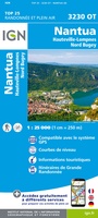 Wandelkaart - Topografische kaart 3230OT Nantua - Hauteville-Lompnes - Nord Bugey | IGN - Institut Géographique National
 Wandelkaart - Topografische kaart 3231OT Ambérieu-en-Bugey | IGN - Institut Géographique National
 Wandelkaart - Topografische kaart 3232 SB - Serie Bleue la Tour-du-Pin | IGN - Institut Géographique National
 Wandelkaart - Topografische kaart 3232ET Belley | IGN - Institut Géographique National
 Wandelkaart - Topografische kaart 3235OT Autrans | IGN - Institut Géographique National★★★★★
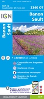 Wandelkaart - Topografische kaart 3240OT Banon - Sault | IGN - Institut Géographique National★★★★★
 Wandelkaart - Topografische kaart 3242OT Apt | IGN - Institut Géographique National
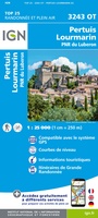 Wandelkaart - Topografische kaart 3243OT Pertuis - Lourmarin | IGN - Institut Géographique National★★★★★
 Wandelkaart - Topografische kaart 3244ET Montagne - Sainte-Victoire | IGN - Institut Géographique National★★★★★
 Topografische kaart - Wandelkaart 3245ET Aubagne - La Ciotat | IGN - Institut Géographique National★★★★★
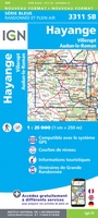 Wandelkaart - Topografische kaart 3311 SB - Serie Bleue Hayange, Villerupt, Audun-le-Roman | IGN - Institut Géographique National
 Wandelkaart - Topografische kaart 3312 SB - Serie Bleue Briey | IGN - Institut Géographique National
 Wandelkaart - Topografische kaart 3313 SB - Serie Bleue Ars-sur-Moselle | IGN - Institut Géographique National
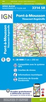 Wandelkaart - Topografische kaart 3314 SB - Serie Bleue Pont-à-Mousson | IGN - Institut Géographique National★★★★★
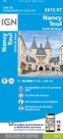 Topografische kaart - Wandelkaart 3315ET Nancy / Toul / Forêt de Haye | IGN - Institut Géographique National
 Wandelkaart - Topografische kaart 3316 SB - Serie Bleue Vézelise | IGN - Institut Géographique National
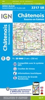 Wandelkaart - Topografische kaart 3317 SB - Serie Bleue Chatenois | IGN - Institut Géographique National
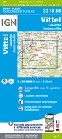 Topografische kaart - Wandelkaart 3318 SB - Serie Bleue Vittel | IGN - Institut Géographique National
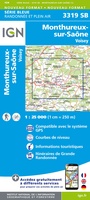 Wandelkaart - Topografische kaart 3319 SB - Serie Bleue Monthureux-sur-Saône - Voisey | IGN - Institut Géographique National
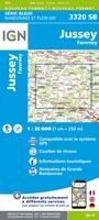 Wandelkaart - Topografische kaart 3320 SB - Serie Bleue Jussey - Faverney | IGN - Institut Géographique National
- 1
- 2
- 3
- Volgende >>
- 50
Laatste reviews

Super!
Super, en snel verzonden !
★★★★★ door Miriam 23 juni 2026 | Heeft dit artikel gekocht
Kwaliteit zoals verwacht
Eens met de beschrijving van het product. De schaal van 1:150.000 vind ik zeer prettig als automobilist. Als fietser zou ik een kleinere schaal prefereren. …
★★★★★ door Joop van Meer 23 juni 2026 | Heeft dit artikel gekocht
Super handig om mijn stad te verkennen
Super handig om mijn stad te verkennen met al zijn opbrekingen erop!
★★★★★ door Yolande Selter 23 juni 2026 | Heeft dit artikel gekocht
Prima kaart van baltische landen
Prima kaart van Baltische landen gekocht. Erg jammer dat de winkel dicht is!
★★★★★ door Henk 21 juni 2026 | Heeft dit artikel gekocht