Winkelwagen
Geen items in winkelwagen
Ga naar winkelwagen
Topografische kaarten - Jura - Franche-Comte
Overzichtskaarten
-
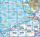
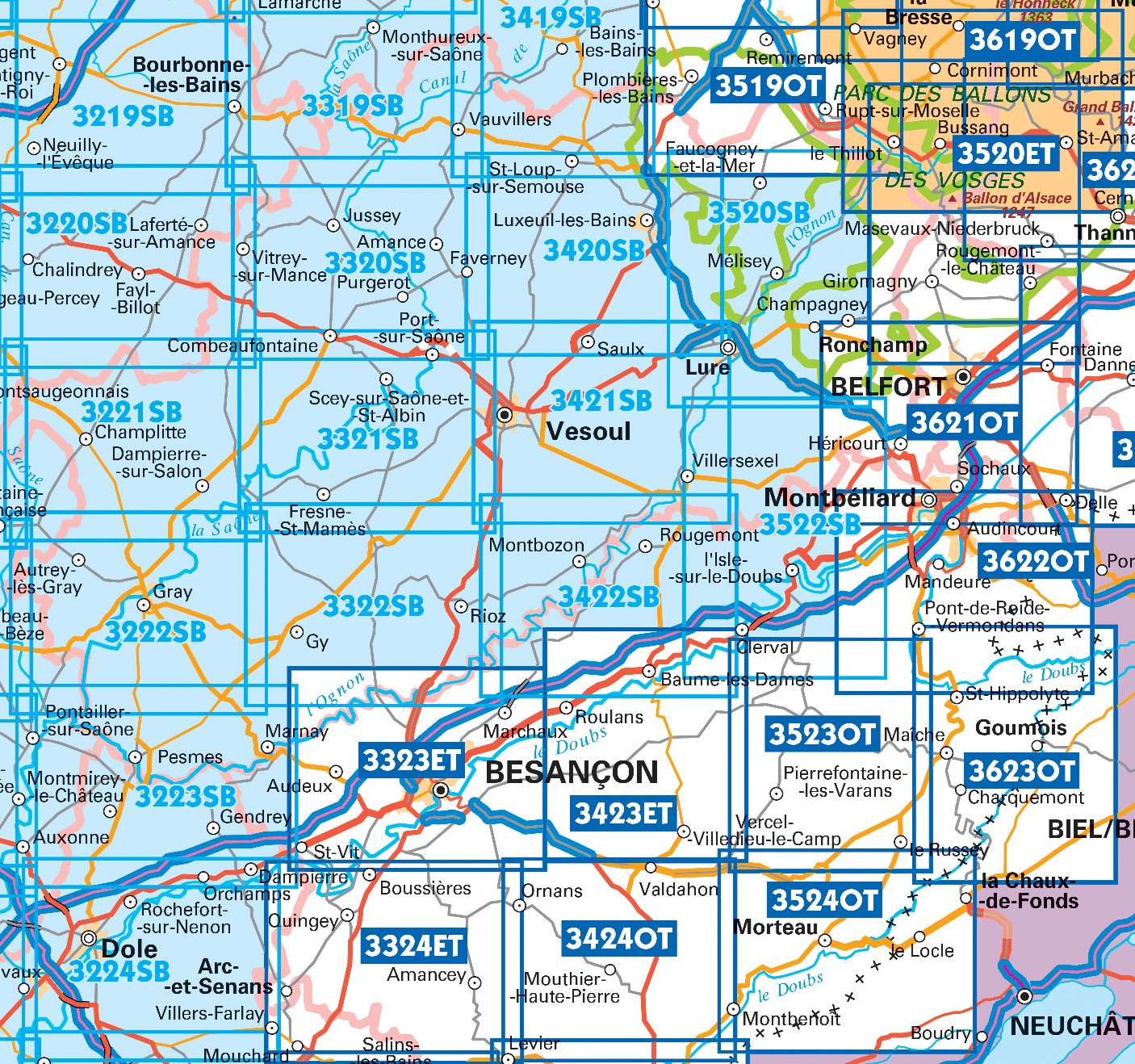
Topografische kaarten IGN 25.000 Jura : Noord
Producten op deze overzichtskaart:
Klik op een product om naar de pagina van dat product te gaan.
- Topografische kaart - Wandelkaart 3220SB Fayl-Billot | IGN - Institut Géographique National
- Topografische kaart - Wandelkaart 3221SB Champlitte | IGN - Institut Géographique National
- Wandelkaart - Topografische kaart 3222SB Gray - Autrey-lès-Gray | IGN - Institut Géographique National
- Wandelkaart - Topografische kaart 3223SB Pesmes - Gendrey | IGN - Institut Géographique National
- Wandelkaart - Topografische kaart 3224SB Dole | IGN - Institut Géographique National
- Wandelkaart - Topografische kaart 3319SB Monthureux-sur-Saône - Voisey | IGN - Institut Géographique National
- Wandelkaart - Topografische kaart 3320SB Jussey - Faverney | IGN - Institut Géographique National
- Wandelkaart - Topografische kaart 3321SB Port-sur-Saône, Fresne-St-Mamès | IGN - Institut Géographique National
- Wandelkaart - Topografische kaart 3322SB Gy - Rioz | IGN - Institut Géographique National
- Wandelkaart - Topografische kaart 3323ET Besançon - Forêt de Chailluz | IGN - Institut Géographique National
- Wandelkaart - Topografische kaart 3324ET Arc-et-Senans | IGN - Institut Géographique National
- Wandelkaart - Topografische kaart 3420SB Luxeuil-les-Bains, Conflans-sur-Lanterne | IGN - Institut Géographique National
- Wandelkaart - Topografische kaart 3421SB Vesoul | IGN - Institut Géographique National
- Wandelkaart - Topografische kaart 3422SB Baume-les-Dames | IGN - Institut Géographique National
- Wandelkaart - Topografische kaart 3423ET Baumes-les-Dames, Vallee du Doubs | IGN - Institut Géographique National
- Wandelkaart - Topografische kaart 3424OT Ornans, Source de la Loue | IGN - Institut Géographique National
- Wandelkaart - Topografische kaart 3522SB L'Isle-sur-le-Doubs, Villersexel | IGN - Institut Géographique National
- Wandelkaart - Topografische kaart 3523OT Vallee-du-Desoubre | IGN - Institut Géographique National
- Wandelkaart - Topografische kaart 3524OT Morteau | IGN - Institut Géographique National
- Wandelkaart - Topografische kaart 3621OT Belfort - Montbeliard | IGN - Institut Géographique National
- Wandelkaart - Topografische kaart 3622OT Montbéliard | IGN - Institut Géographique National
- Wandelkaart - Topografische kaart 3623OT Maîche | IGN - Institut Géographique National
-
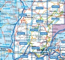
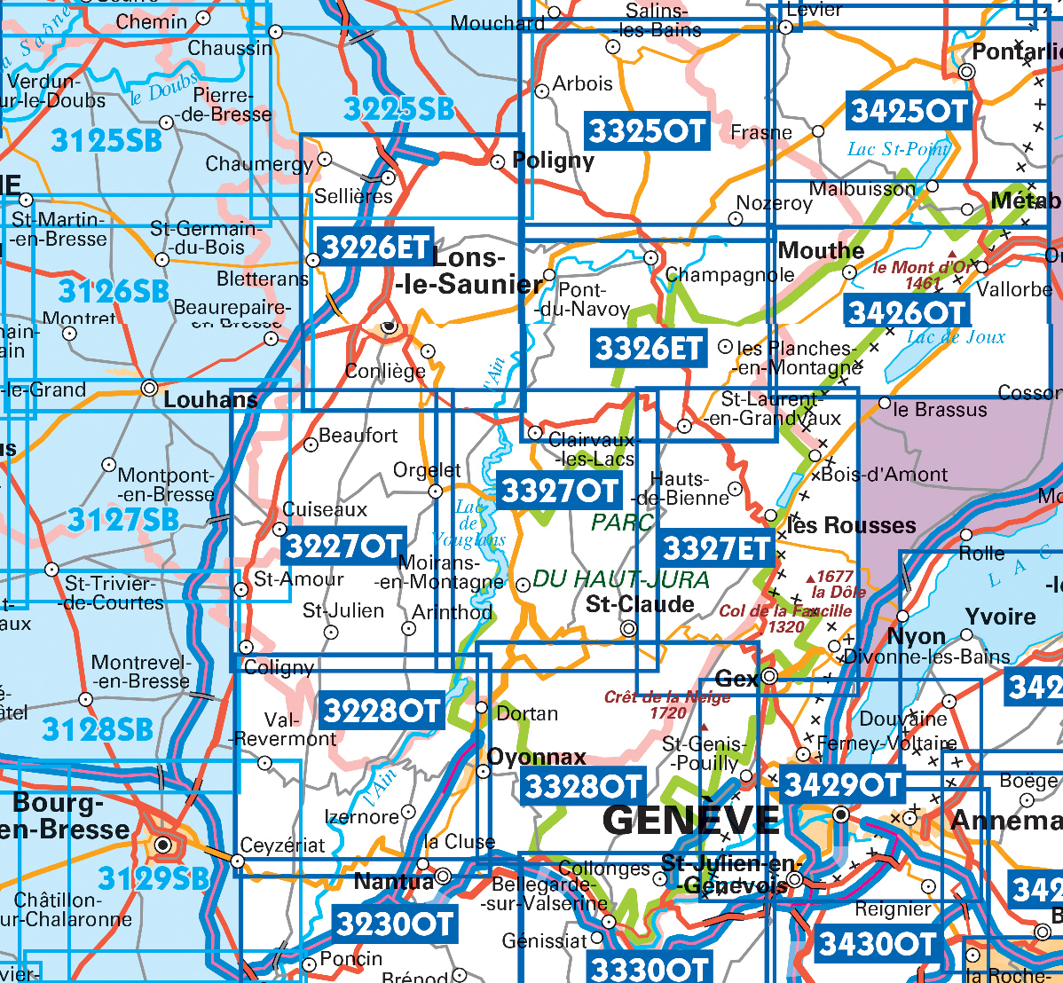
Topografische kaarten IGN 25.000 Jura : Zuid
Producten op deze overzichtskaart:
Klik op een product om naar de pagina van dat product te gaan.
- Wandelkaart - Topografische kaart 3125SB Pierre-de-Bresse, St-Martin-de-Bresse | IGN - Institut Géographique National
- Wandelkaart - Topografische kaart 3128SB Montrevel-en-Bresse, Marboz | IGN - Institut Géographique National
- Wandelkaart - Topografische kaart 3129SB Bourg-en-Bresse | IGN - Institut Géographique National
- Wandelkaart - Topografische kaart 3225SB Poligny, Chaussin | IGN - Institut Géographique National
- Wandelkaart - Topografische kaart 3226ET Lons-le-Saunier - Poligny | IGN - Institut Géographique National
- Wandelkaart - Topografische kaart 3227OT Saint Amour | IGN - Institut Géographique National
- Wandelkaart - Topografische kaart 3228OT Oyonnax | IGN - Institut Géographique National
- Wandelkaart - Topografische kaart 3325OT Arbois | IGN - Institut Géographique National
- Wandelkaart - Topografische kaart 3326ET Champagnole | IGN - Institut Géographique National
- Wandelkaart - Topografische kaart 3327ET Morez - les Rousses | IGN - Institut Géographique National
- Wandelkaart - Topografische kaart 3327OT Saint-Claude | IGN - Institut Géographique National
- Wandelkaart - Topografische kaart 3328OT Crêt de la Neige | IGN - Institut Géographique National
- Wandelkaart - Topografische kaart 3425OT Pontarlier | IGN - Institut Géographique National
- Wandelkaart - Topografische kaart 3426OT Mouthe - Métabief | IGN - Institut Géographique National
 Wandelkaart - Topografische kaart 3621OT Belfort - Montbeliard | IGN - Institut Géographique National
 Wandelkaart - Topografische kaart 3622OT Montbéliard | IGN - Institut Géographique National
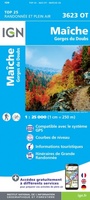 Wandelkaart - Topografische kaart 3623OT Maîche | IGN - Institut Géographique National
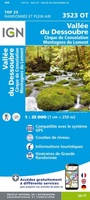 Wandelkaart - Topografische kaart 3523OT Vallee-du-Desoubre | IGN - Institut Géographique National
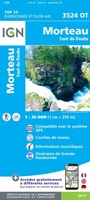 Wandelkaart - Topografische kaart 3524OT Morteau | IGN - Institut Géographique National
 Wandelkaart - Topografische kaart 3423ET Baumes-les-Dames, Vallee du Doubs | IGN - Institut Géographique National
 Wandelkaart - Topografische kaart 3424OT Ornans, Source de la Loue | IGN - Institut Géographique National
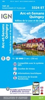 Wandelkaart - Topografische kaart 3324ET Arc-et-Senans | IGN - Institut Géographique National
 Wandelkaart - Topografische kaart 3425OT Pontarlier | IGN - Institut Géographique National
 Wandelkaart - Topografische kaart 3325OT Arbois | IGN - Institut Géographique National
 Wandelkaart - Topografische kaart 3426OT Mouthe - Métabief | IGN - Institut Géographique National
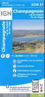 Wandelkaart - Topografische kaart 3326ET Champagnole | IGN - Institut Géographique National★★★★★
 Wandelkaart - Topografische kaart 3226ET Lons-le-Saunier - Poligny | IGN - Institut Géographique National
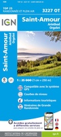 Wandelkaart - Topografische kaart 3227OT Saint Amour | IGN - Institut Géographique National
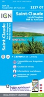 Wandelkaart - Topografische kaart 3327OT Saint-Claude | IGN - Institut Géographique National★★★★★
 Wandelkaart - Topografische kaart 3327ET Morez - les Rousses | IGN - Institut Géographique National★★★★★★★★★★
 Wandelkaart - Topografische kaart 3228OT Oyonnax | IGN - Institut Géographique National
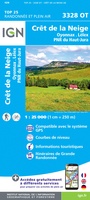 Wandelkaart - Topografische kaart 3328OT Crêt de la Neige | IGN - Institut Géographique National
 Wandelkaart - Topografische kaart 3429OT Geneve | IGN - Institut Géographique National
 Wandelkaart - Topografische kaart 3323ET Besançon - Forêt de Chailluz | IGN - Institut Géographique National
Laatste reviews

Kaarten zullen zeker van pas komen
De kaarten zijn een cadeau voor onze dochter en onze schoonzoon die met hun kinderen een jaar met de camper gaan “zwerven”. Ze zijn van …
★★★★★ door Pierre van Tits 25 juli 2024 | Heeft dit artikel gekocht
Makkelijk te lezen kaart
Uw landkaarten hebben mij al veel plezier en voorpret bezorgd, ook heb ik inzicht gekregen in de onderlinge afstanden en in verband daarmee mijn reisplanning …
★★★★★ door Wout Breeschoten 25 juli 2024 | Heeft dit artikel gekocht
Veel plezier en voorpret door de kaart
Uw landkaarten hebben mij al veel plezier en voorpret bezorgd, ook heb ik inzicht gekregen in de onderlinge afstanden en in verband daarmee mijn reisplanning …
★★★★★ door Wout Breeschoten 25 juli 2024 | Heeft dit artikel gekocht
Prima kaart
Prima kaart, fijn ook dat hij niet kan scheuren.
★★★★★ door Madeleine Spliet 25 juli 2024 | Heeft dit artikel gekocht