Winkelwagen
Geen items in winkelwagen
Ga naar winkelwagen
Topografische kaarten - Alpen - Mercantour - Noordelijke Provence
Overzichtskaarten
-
Topografische kaarten IGN 25.000 Mercantour - Noordelijke Provence
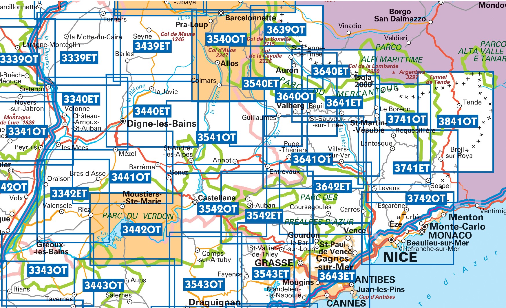
Producten op deze overzichtskaart:
Klik op een product om naar de pagina van dat product te gaan.
- Wandelkaart - Topografische kaart 3243OT Pertuis - Lourmarin | IGN - Institut Géographique National
- Wandelkaart - Topografische kaart 3339ET la Motte-du-Caire | IGN - Institut Géographique National
- Wandelkaart - Topografische kaart 3340ET Digne-les-Bains | IGN - Institut Géographique National
- Wandelkaart - Topografische kaart 3342ET Plateau de Valensole | IGN - Institut Géographique National
- Wandelkaart - Topografische kaart 3342OT Manosque - Forcalquier | IGN - Institut Géographique National
- Wandelkaart - Topografische kaart 3343OT Gréoux-les-Bains - Rians | IGN - Institut Géographique National
- Wandelkaart - Topografische kaart 3439ET Seyne | IGN - Institut Géographique National
- Topografische kaart - Wandelkaart 3440ET Digne-les-Bains | IGN - Institut Géographique National
- Wandelkaart - Topografische kaart 3441OT Barrême | IGN - Institut Géographique National
- Wandelkaart - Topografische kaart 3442OT Gorges du Verdon | IGN - Institut Géographique National
- Wandelkaart - Topografische kaart 3540ET Haute Vallée du Var | IGN - Institut Géographique National
- Wandelkaart - Topografische kaart 3540OT Barcelonnette | IGN - Institut Géographique National
- Wandelkaart - Topografische kaart 3541OT Annot | IGN - Institut Géographique National
- Wandelkaart - Topografische kaart 3542ET Haute Estéron | IGN - Institut Géographique National
- Wandelkaart - Topografische kaart 3542OT Castellane | IGN - Institut Géographique National
- Wandelkaart - Topografische kaart 3639OT Haute Tinée 1 | IGN - Institut Géographique National
- Wandelkaart - Topografische kaart 3640ET Haute Tinée 2 | IGN - Institut Géographique National
- Wandelkaart - Topografische kaart 3640OT Haut Cians | IGN - Institut Géographique National
- Wandelkaart - Topografische kaart 3641ET Moyenne Tinée | IGN - Institut Géographique National
- Wandelkaart - Topografische kaart 3641OT Moyen Var | IGN - Institut Géographique National
- Wandelkaart - Topografische kaart 3642ET Vallée de l'Esteron | IGN - Institut Géographique National
- Wandelkaart - Topografische kaart 3741ET Vallée de la Bévera | IGN - Institut Géographique National
- Wandelkaart - Topografische kaart 3741OT Vallée de la Vesubie | IGN - Institut Géographique National
- Wandelkaart - Topografische kaart 3841OT Vallée de la Roya | IGN - Institut Géographique National
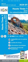 Wandelkaart - Topografische kaart 3639OT Haute Tinée 1 | IGN - Institut Géographique National
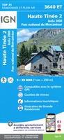 Wandelkaart - Topografische kaart 3640ET Haute Tinée 2 | IGN - Institut Géographique National
 Wandelkaart - Topografische kaart 3640OT Haut Cians | IGN - Institut Géographique National
 Wandelkaart - Topografische kaart 3641ET Moyenne Tinée | IGN - Institut Géographique National
 Wandelkaart - Topografische kaart 3741ET Vallée de la Bévera | IGN - Institut Géographique National★★★★★
 Wandelkaart - Topografische kaart 3741OT Vallée de la Vesubie | IGN - Institut Géographique National★★★★★
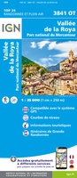 Wandelkaart - Topografische kaart 3841OT Vallée de la Roya | IGN - Institut Géographique National★★★★★
 Wandelkaart - Topografische kaart 3339ET la Motte-du-Caire | IGN - Institut Géographique National
 Wandelkaart - Topografische kaart 3439ET Seyne | IGN - Institut Géographique National
 Wandelkaart - Topografische kaart 3641OT Moyen Var | IGN - Institut Géographique National
 Wandelkaart - Topografische kaart 3340ET Digne-les-Bains | IGN - Institut Géographique National
 Topografische kaart - Wandelkaart 3440ET Digne-les-Bains | IGN - Institut Géographique National★★★★★
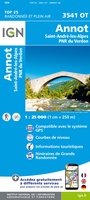 Wandelkaart - Topografische kaart 3541OT Annot | IGN - Institut Géographique National
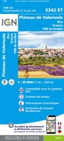 Wandelkaart - Topografische kaart 3342ET Plateau de Valensole | IGN - Institut Géographique National
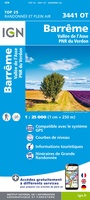 Wandelkaart - Topografische kaart 3441OT Barrême | IGN - Institut Géographique National
 Wandelkaart - Topografische kaart 3542OT Castellane | IGN - Institut Géographique National
 Wandelkaart - Topografische kaart 3542ET Haute Estéron | IGN - Institut Géographique National
 Wandelkaart - Topografische kaart 3642ET Vallée de l'Esteron | IGN - Institut Géographique National
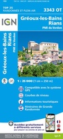 Wandelkaart - Topografische kaart 3343OT Gréoux-les-Bains - Rians | IGN - Institut Géographique National
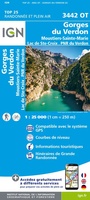 Wandelkaart - Topografische kaart 3442OT Gorges du Verdon | IGN - Institut Géographique National
Laatste reviews

Snelle service, duidelijke landkaart
We hebben een landkaart van Albanië besteld. Deze hebben we in goede staat ontvangen
★★★★★ door Ida van der Heiden 26 april 2024 | Heeft dit artikel gekocht
Precies goed
Zoals gewend van de Alpverein weer een mooie en duidelijke kaart voor dit mooie wandelgebied incl. hutten.
★★★★★ door B van R 26 april 2024 | Heeft dit artikel gekocht
Duidelijk en stevig
Duidelijke en mooie kaart van het gebied. Oogt stevig/dik waardoor niet snel kapot tijdens wandelingen. Sommige tekens zijn wel wat aan de kleine kant waardoor …
★★★★★ door B van R 26 april 2024 | Heeft dit artikel gekocht
Wat we zochten
Voor een reis Ivoorkust is er weiniginformatie te vinden. Dit boek brengt het meeste. Duidelijk en overzichtelijk.
★★★★★ door Annemiek van Riezen 26 april 2024 | Heeft dit artikel gekocht