Winkelwagen
Geen items in winkelwagen
Ga naar winkelwagen
Topografische kaarten - Vogezen - Elzas - Lotharingen
Overzichtskaarten
-
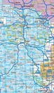
Overzicht IGN 25.000 Elzas - Lotharingen: West
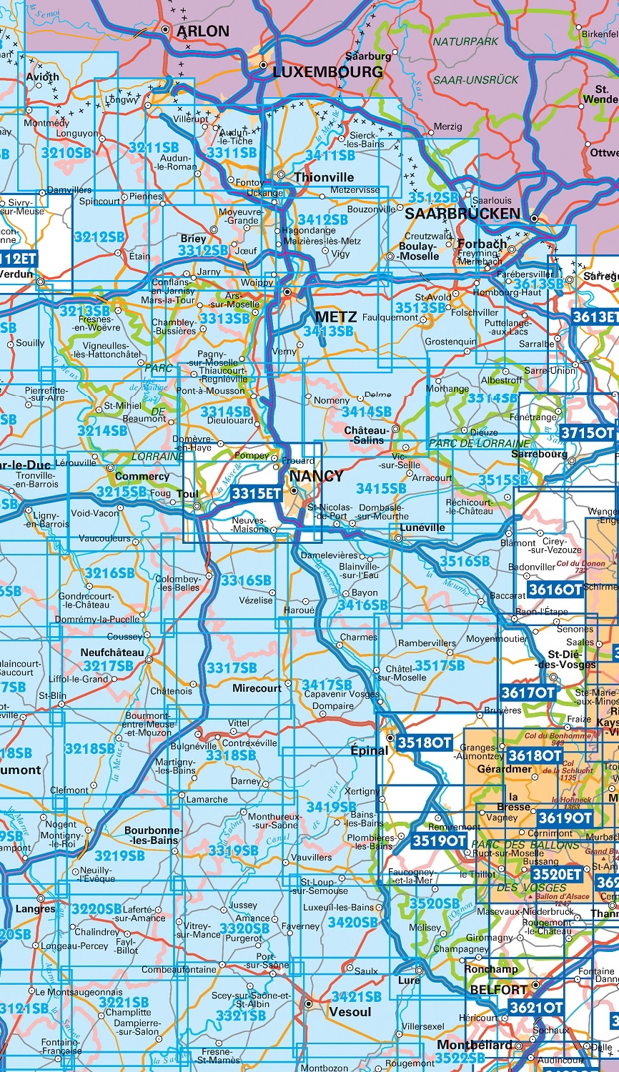
Producten op deze overzichtskaart:
Klik op een product om naar de pagina van dat product te gaan.
- Wandelkaart - Topografische kaart 3210 SB - Serie Bleue Longuyon | IGN - Institut Géographique National
- Wandelkaart - Topografische kaart 3211 SB - Serie Bleue Longuyon - Longwy | IGN - Institut Géographique National
- Wandelkaart - Topografische kaart 3212 SB - Serie Bleue Étain | IGN - Institut Géographique National
- Wandelkaart - Topografische kaart 3214 SB - Serie Bleue St-Mihiel | IGN - Institut Géographique National
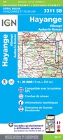
- Wandelkaart - Topografische kaart 3311 SB - Serie Bleue Hayange, Villerupt, Audun-le-Roman | IGN - Institut Géographique National
- Wandelkaart - Topografische kaart 3312 SB - Serie Bleue Briey | IGN - Institut Géographique National
- Wandelkaart - Topografische kaart 3313 SB - Serie Bleue Ars-sur-Moselle | IGN - Institut Géographique National
- Wandelkaart - Topografische kaart 3314 SB - Serie Bleue Pont-à-Mousson | IGN - Institut Géographique National
- Topografische kaart - Wandelkaart 3315ET Nancy / Toul / Forêt de Haye | IGN - Institut Géographique National
- Wandelkaart - Topografische kaart 3316 SB - Serie Bleue Vézelise | IGN - Institut Géographique National
- Wandelkaart - Topografische kaart 3317 SB - Serie Bleue Chatenois | IGN - Institut Géographique National
- Topografische kaart - Wandelkaart 3318 SB - Serie Bleue Vittel | IGN - Institut Géographique National
- Wandelkaart - Topografische kaart 3411 SB - Serie Bleue Thionville | IGN - Institut Géographique National
- Wandelkaart - Topografische kaart 3412 SB - Serie Bleue Woippy | IGN - Institut Géographique National
- Wandelkaart - Topografische kaart 3413 SB - Serie Bleue Metz | IGN - Institut Géographique National
- Wandelkaart - Topografische kaart 3414 SB - Serie Bleue Château-Salins | IGN - Institut Géographique National
- Wandelkaart - Topografische kaart 3415 SB - Serie Bleue Saint-Nicolas-de-Port | IGN - Institut Géographique National
- Wandelkaart - Topografische kaart 3417 SB - Serie Bleue Mirecourt - Charmes | IGN - Institut Géographique National
- Wandelkaart - Topografische kaart 3419 Bains-les-Bains | IGN - Institut Géographique National
- Wandelkaart - Topografische kaart 3512 SB - Serie Bleue Bouzonville | IGN - Institut Géographique National
- Wandelkaart - Topografische kaart 3513 SB - Serie Bleue Saint-Avold / Faulquemont | IGN - Institut Géographique National
- Wandelkaart - Topografische kaart 3514 SB - Serie Bleue Dieuze / Albestroff | IGN - Institut Géographique National
- Wandelkaart - Topografische kaart 3515 SB - Serie Bleue Lorquin - Avricourt | IGN - Institut Géographique National
- Wandelkaart - Topografische kaart 3516 SB - Serie Bleue Lunéville / Baccarat | IGN - Institut Géographique National
- Wandelkaart - Topografische kaart 3517 SB - Serie Bleue Rambervillers | IGN - Institut Géographique National
- Wandelkaart - Topografische kaart 3518OT Epinal | IGN - Institut Géographique National
- Wandelkaart - Topografische kaart 3519OT Remiremont | IGN - Institut Géographique National
- Wandelkaart - Topografische kaart 3520 SB - Serie Bleue Mélisey - Lure | IGN - Institut Géographique National
- Wandelkaart - Topografische kaart 3613 SB - Serie Bleue Forbach - Sarreguemines | IGN - Institut Géographique National
-
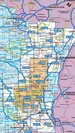
Overzicht IGN 25.000 Vogezen en Elzas - Lotharingen: Oost
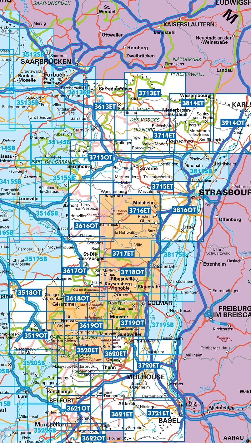
Producten op deze overzichtskaart:
Klik op een product om naar de pagina van dat product te gaan.
- Wandelkaart - Topografische kaart 3518OT Epinal | IGN - Institut Géographique National
- Wandelkaart - Topografische kaart 3519OT Remiremont | IGN - Institut Géographique National
- Wandelkaart - Topografische kaart 3520ET Ballon d'Alsace | IGN - Institut Géographique National
- Wandelkaart - Topografische kaart 3613ET Sarreguemines | IGN - Institut Géographique National
- Wandelkaart - Topografische kaart 3614ET Sarre-Union - Phalsbourg | IGN - Institut Géographique National
- Wandelkaart - Topografische kaart 3616OT Lac de Pierre-Percée - Le Donon | IGN - Institut Géographique National
- Wandelkaart - Topografische kaart 3617OT St-Dié-des-Vosges | IGN - Institut Géographique National
- Wandelkaart - Topografische kaart 3618OT Le Hohneck - Gérardmer | IGN - Institut Géographique National
- Wandelkaart - Topografische kaart 3619OT Bussang - La Bresse | IGN - Institut Géographique National
- Wandelkaart - Topografische kaart 3620ET Grand Ballon | IGN - Institut Géographique National
- Wandelkaart - Topografische kaart 3621ET Dannemarie - Delle - Sundgau | IGN - Institut Géographique National
- Wandelkaart - Topografische kaart 3713ET Pays de Bitche - Dambach - PNR des Vosges du Nord | IGN - Institut Géographique National
- Wandelkaart - Topografische kaart 3714ET la Petite Pierre - Petite Pierre, Niederbronn-les-Bains, PNR Vosges du Nord | IGN - Institut Géographique National
- Wandelkaart - Topografische kaart 3715ET Wasselone - Rocher de Dabo - Saverne | IGN - Institut Géographique National
- Wandelkaart - Topografische kaart 3715OT Sarrebourg - Phalsbourg - Pays des Etangs | IGN - Institut Géographique National
- Wandelkaart - Topografische kaart 3716ET le Donon, Obernai, Mont Ste-Odile | IGN - Institut Géographique National
- Wandelkaart - Topografische kaart 3717ET Barr - Le Howald - Villé - Vallée de la Bruche | IGN - Institut Géographique National
- Wandelkaart - Topografische kaart 3717ETR Barr / Le Howald / Villé / Hte Vallée de la Bruche | IGN - Institut Géographique National
- Wandelkaart - Topografische kaart 3718OT Selestat - Col Du Bonhomme | IGN - Institut Géographique National
- Wandelkaart - Topografische kaart 3719 SB - Serie Bleue Colmar | IGN - Institut Géographique National
- Wandelkaart - Topografische kaart 3719OT Colmar & Le Hohneck | IGN - Institut Géographique National
- Wandelkaart - Topografische kaart 3720ET Mulhouse | IGN - Institut Géographique National
- Wandelkaart - Topografische kaart 3721ET Altkirch - Bâle - Sundgau | IGN - Institut Géographique National
- Wandelkaart - Topografische kaart 3814ET Hagenau - Lembach - PNR des Vosges du Nord | IGN - Institut Géographique National
- Wandelkaart - Topografische kaart 3815 SB - Serie Bleue Bischwiller - Brumath | IGN - Institut Géographique National
- Wandelkaart - Topografische kaart 3816OT Strasbourg | IGN - Institut Géographique National
- Wandelkaart - Topografische kaart 3817 SB - Serie Bleue Sélestat - Marckolsheim | IGN - Institut Géographique National
- Wandelkaart - Topografische kaart 3914OT Wissembourg | IGN - Institut Géographique National
 Wandelkaart - Topografische kaart 3311 SB - Serie Bleue Hayange, Villerupt, Audun-le-Roman | IGN - Institut Géographique National
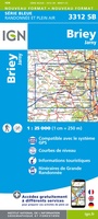 Wandelkaart - Topografische kaart 3312 SB - Serie Bleue Briey | IGN - Institut Géographique National
 Wandelkaart - Topografische kaart 3313 SB - Serie Bleue Ars-sur-Moselle | IGN - Institut Géographique National
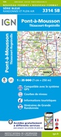 Wandelkaart - Topografische kaart 3314 SB - Serie Bleue Pont-à-Mousson | IGN - Institut Géographique National★★★★★
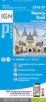 Topografische kaart - Wandelkaart 3315ET Nancy / Toul / Forêt de Haye | IGN - Institut Géographique National
 Wandelkaart - Topografische kaart 3316 SB - Serie Bleue Vézelise | IGN - Institut Géographique National
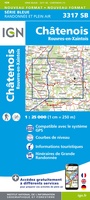 Wandelkaart - Topografische kaart 3317 SB - Serie Bleue Chatenois | IGN - Institut Géographique National
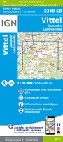 Topografische kaart - Wandelkaart 3318 SB - Serie Bleue Vittel | IGN - Institut Géographique National
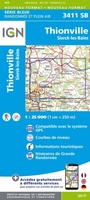 Wandelkaart - Topografische kaart 3411 SB - Serie Bleue Thionville | IGN - Institut Géographique National
 Wandelkaart - Topografische kaart 3412 SB - Serie Bleue Woippy | IGN - Institut Géographique National
 Wandelkaart - Topografische kaart 3413 SB - Serie Bleue Metz | IGN - Institut Géographique National
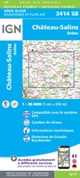 Wandelkaart - Topografische kaart 3414 SB - Serie Bleue Château-Salins | IGN - Institut Géographique National★★★★★
 Wandelkaart - Topografische kaart 3415 SB - Serie Bleue Saint-Nicolas-de-Port | IGN - Institut Géographique National
 Wandelkaart - Topografische kaart 3417 SB - Serie Bleue Mirecourt - Charmes | IGN - Institut Géographique National
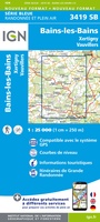 Wandelkaart - Topografische kaart 3419 Bains-les-Bains | IGN - Institut Géographique National
 Wandelkaart - Topografische kaart 3210 SB - Serie Bleue Longuyon | IGN - Institut Géographique National
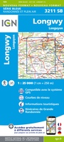 Wandelkaart - Topografische kaart 3211 SB - Serie Bleue Longuyon - Longwy | IGN - Institut Géographique National
 Wandelkaart - Topografische kaart 3212 SB - Serie Bleue Étain | IGN - Institut Géographique National
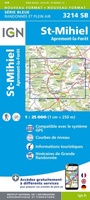 Wandelkaart - Topografische kaart 3214 SB - Serie Bleue St-Mihiel | IGN - Institut Géographique National★★★★★
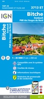 Wandelkaart - Topografische kaart 3713ET Pays de Bitche - Dambach - PNR des Vosges du Nord | IGN - Institut Géographique National
Laatste reviews

Top gids met alle benodigde informatie.
Prachtige wandelgids voorzien van alle voor de wandelaars benodigde informatie (accommodaties, restaurants en cafés, vervoersmogelijkheden enz.). Ook is de gids beschreven in twee richtingen en …
★★★★★ door Mathie Hoenjet 27 juni 2026 | Heeft dit artikel gekocht
snel bezorgd
Zoals altijd duidelijke en overzichtelijke kaart van Michelin
★★★★★ door Charles Trippelvitz 26 juni 2026 | Heeft dit artikel gekocht
Het was heel leuk om de Vennbahn te fietsen aan de hand van deze handige gids!
Door deze gids konden we ons heel goed voorbereiden op onze fietstocht. En het gebruik onderweg was ook prima. Jammer dat de campings onderweg wat …
★★★★★ door Helma Feenstra 26 juni 2026 | Heeft dit artikel gekocht
Simpele keuze ondersteuning op website en hele snelle levering
Kort voor vakantie naar de Galapagos eilanden toch nog behoefte aan extra reisgids. Simpel kunnen bestellen en snelle levering. Zou niet weten wat er beter …
★★★★★ door Piet Grootenboer 25 juni 2026 | Heeft dit artikel gekocht