Winkelwagen
Geen items in winkelwagen
Ga naar winkelwagen
Wandelkaarten - Pyreneeën
Overzichtskaarten
-
Wandelkaarten IGN 25.000 Midi - Pyreneeën : West

Producten op deze overzichtskaart:
Klik op een product om naar de pagina van dat product te gaan.
- Wandelkaart - Topografische kaart 1443SB Dax | IGN - Institut Géographique National
- Wandelkaart - Topografische kaart 1541SB Ygos-Saint-Saturnin | IGN - Institut Géographique National
- Wandelkaart - Topografische kaart 1542SB Mont-de-Marsan | IGN - Institut Géographique National
- Wandelkaart - Topografische kaart 1543SB Hagetmau | IGN - Institut Géographique National
- Wandelkaart - Topografische kaart 1544SB Arthez-de-Béarn | IGN - Institut Géographique National
- Wandelkaart - Topografische kaart 1641SB Roquefort | IGN - Institut Géographique National
- Wandelkaart - Topografische kaart 1642SB Villeneuve-de-Marsan | IGN - Institut Géographique National
- Wandelkaart - Topografische kaart 1643SB Aire-sur-l'Adour | IGN - Institut Géographique National
- Wandelkaart - Topografische kaart 1644SB Lembeye | IGN - Institut Géographique National
- Topografische kaart - Wandelkaart 1739SB Tonneins - Casteljaloux | IGN - Institut Géographique National
- Wandelkaart - Topografische kaart 1740SB Nérac | IGN - Institut Géographique National
- Wandelkaart - Topografische kaart 1741SB Mézin | IGN - Institut Géographique National
- Wandelkaart - Topografische kaart 1742SB Eauze, Vic-Fezensac | IGN - Institut Géographique National
- Wandelkaart - Topografische kaart 1743SB Plaisance - Montesquiou | IGN - Institut Géographique National
- Wandelkaart - Topografische kaart 1744SB Miélan - Vic en Bigorre | IGN - Institut Géographique National
- Wandelkaart - Topografische kaart 1839SB Villeneuve sur Lot - Castelmoron sur Lot | IGN - Institut Géographique National
- Topografische kaart - Wandelkaart 1840SB Agen | IGN - Institut Géographique National
- Topografische kaart - Wandelkaart 1841SB Condom | IGN - Institut Géographique National
- Wandelkaart - Topografische kaart 1842SB Fleurance | IGN - Institut Géographique National
- Topografische kaart - Wandelkaart 1843SB Auch | IGN - Institut Géographique National
- Wandelkaart - Topografische kaart 1844SB Mirande - Masseube | IGN - Institut Géographique National
- Wandelkaart - Topografische kaart 1939SB Penne-d'Agenais | IGN - Institut Géographique National
- Wandelkaart - Topografische kaart 1941SB Saint-Nicolas-de-la-Grave | IGN - Institut Géographique National
-
Wandelkaarten IGN 25.000 Midi - Pyreneeën : Oost
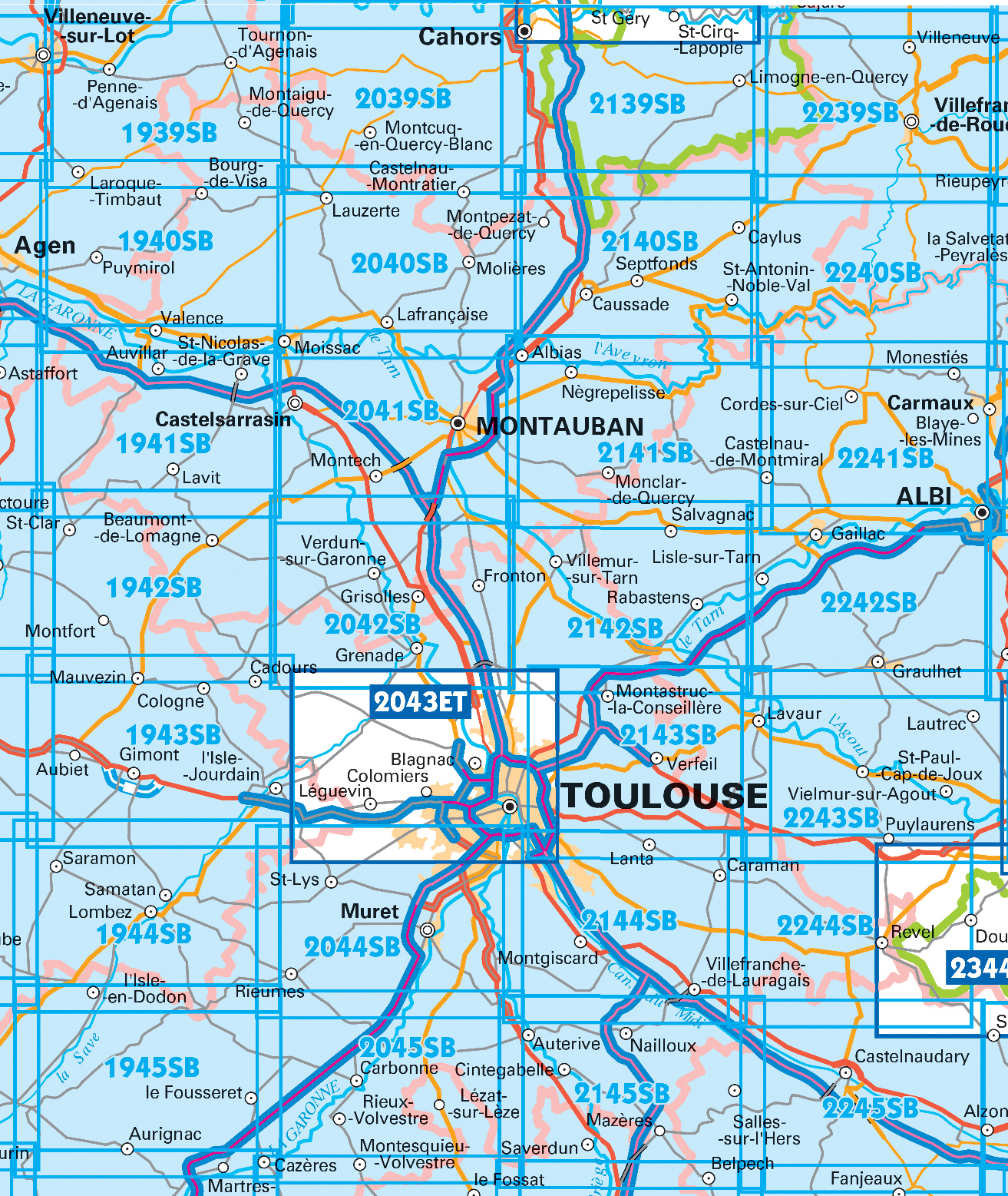
Producten op deze overzichtskaart:
Klik op een product om naar de pagina van dat product te gaan.
- Wandelkaart - Topografische kaart 1940SB Valence | IGN - Institut Géographique National
- Wandelkaart - Topografische kaart 1942SB Beaumont-de-Lomagne | IGN - Institut Géographique National
- Wandelkaart - Topografische kaart 1943SB L'Isle-Jourdain | IGN - Institut Géographique National
- Wandelkaart - Topografische kaart 1944SB Samatan | IGN - Institut Géographique National
- Wandelkaart - Topografische kaart 1945SB Le Fousseret - Aurignac | IGN - Institut Géographique National
- Wandelkaart - Topografische kaart 2039SB Montcuq-en-Quercy-Blanc, Labastide-Marnhac | IGN - Institut Géographique National
- Wandelkaart - Topografische kaart 2040SB Moissac | IGN - Institut Géographique National
- Wandelkaart - Topografische kaart 2041SB Montauban (Tarn-et-Garonne) - Castelsarrasin | IGN - Institut Géographique National
- Wandelkaart - Topografische kaart 2042SB Grenade | IGN - Institut Géographique National
- Wandelkaart - Topografische kaart 2043ET Toulouse | IGN - Institut Géographique National
- Wandelkaart - Topografische kaart 2044SB Muret, Saint Lys | IGN - Institut Géographique National
- Wandelkaart - Topografische kaart 2045SB Lézat-sur-Lèze, Cazeres | IGN - Institut Géographique National
- Wandelkaart - Topografische kaart 2139SB Cahors | IGN - Institut Géographique National
- Wandelkaart - Topografische kaart 2140SB Caussade | IGN - Institut Géographique National
- Wandelkaart - Topografische kaart 2141SB Nègrepelisse | IGN - Institut Géographique National
- Wandelkaart - Topografische kaart 2142SB Villemur-sur-Tarn | IGN - Institut Géographique National
- Wandelkaart - Topografische kaart 2143SB Montastruc-la-Conseillère, Lavaur | IGN - Institut Géographique National
- Wandelkaart - Topografische kaart 2144SB Ramonville-Saint-Agne | IGN - Institut Géographique National
- Wandelkaart - Topografische kaart 2145SB Auterive - Mazères - Saverdun | IGN - Institut Géographique National
- Wandelkaart - Topografische kaart 2239SB Villefranche-de-Rouergue, Martiel | IGN - Institut Géographique National
- Wandelkaart - Topografische kaart 2240SB Varen, Laguépie, Najac | IGN - Institut Géographique National
- Wandelkaart - Topografische kaart 2241SB Albi, Cordes-sur-Ciel | IGN - Institut Géographique National
- Wandelkaart - Topografische kaart 2242SB Gaillac, Graulhet | IGN - Institut Géographique National
- Wandelkaart - Topografische kaart 2244SB Revel, St-Félix-Lauragais, Sorèze | IGN - Institut Géographique National
- Wandelkaart - Topografische kaart 2245SB Bram - Castelnaudary | IGN - Institut Géographique National
- Wandelkaart - Topografische kaart 2340SB Naucelle, La Salvetat, Peyrales | IGN - Institut Géographique National
- Wandelkaart - Topografische kaart 2341SB Carmaux, Valence-d'Albigeoi | IGN - Institut Géographique National
-
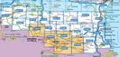
Wandelkaarten IGN 25.000 Pyreneeën : West

Producten op deze overzichtskaart:
Klik op een product om naar de pagina van dat product te gaan.
- Wandelkaart - Topografische kaart 1245OT Hendaye - St.Jean de Luz - Cote d'Argent | IGN - Institut Géographique National
- Wandelkaart - Topografische kaart 1343E Saint-Geours-de-Maremne | IGN - Institut Géographique National
- Wandelkaart - Topografische kaart 1344OT Bayonne | IGN - Institut Géographique National
- Wandelkaart - Topografische kaart 1344SB Peyrehorade | IGN - Institut Géographique National
- Wandelkaart - Topografische kaart 1345OT Cambo-les-Bains – Hasparren | IGN - Institut Géographique National
- Topografische kaart - Wandelkaart 1346ET Forêt d'Iraty - Pic d'Orly | IGN - Institut Géographique National
- Topografische kaart - Wandelkaart 1346OT St.-Jean-Pied-de-Port | IGN - Institut Géographique National
- Wandelkaart - Topografische kaart 1444SB Orthez | IGN - Institut Géographique National
- Wandelkaart - Topografische kaart 1445SB Mauléon-Licharre – St-Palais | IGN - Institut Géographique National
- Wandelkaart - Topografische kaart 1446ET Tardets-Sorholus, Arette | IGN - Institut Géographique National
- Wandelkaart - Topografische kaart 1545ET Pau | IGN - Institut Géographique National
- Wandelkaart - Topografische kaart 1545SB Oloron – Sainte-Marie | IGN - Institut Géographique National
- Wandelkaart - Topografische kaart 1546ET Laruns, Gourette | IGN - Institut Géographique National
- Wandelkaart - Topografische kaart 1546OT Oloron-Sainte.Marie, Vallee d'Aspe | IGN - Institut Géographique National
- Wandelkaart - Topografische kaart 1547OT Ossau - Vallée D'Aspe | IGN - Institut Géographique National
- Topografische kaart - Wandelkaart 1645SB Pontacq - Ossun - Ger | IGN - Institut Géographique National
- Wandelkaart - Topografische kaart 1647ET Lourdes, Argeles-Gazost, Le Lavedan, Pierrefitte-Nestalas, Aucun | IGN - Institut Géographique National
- Wandelkaart - Topografische kaart 1647OT Vignemale, Ossau, Cauterets, Gourette | IGN - Institut Géographique National
- Wandelkaart - Topografische kaart 1745SB Tarbes | IGN - Institut Géographique National
- Wandelkaart - Topografische kaart 1746SB Bagnères-de-Bigorre | IGN - Institut Géographique National
- Wandelkaart - Topografische kaart 1747ET Bagnères-de-Bigorre | IGN - Institut Géographique National
- Wandelkaart - Topografische kaart 1748ET Neouvielle | IGN - Institut Géographique National
- Wandelkaart - Topografische kaart 1748OT Gavarnie | IGN - Institut Géographique National
- Wandelkaart - Topografische kaart 1845SB Boulogne-sur-Gesse | IGN - Institut Géographique National
- Wandelkaart - Topografische kaart 1846SB Lannemezan | IGN - Institut Géographique National
- Wandelkaart - Topografische kaart 1847OT Saint Bertrand de Comminges, Arreau | IGN - Institut Géographique National
- Wandelkaart - Topografische kaart 1848OT Bagnères de Luchon, | IGN - Institut Géographique National
- Wandelkaart - Topografische kaart 1848OTR Bagnères-de-Luchon | IGN - Institut Géographique National
-
Wandelkaarten IGN 25.000 Pyreneeën : Oost
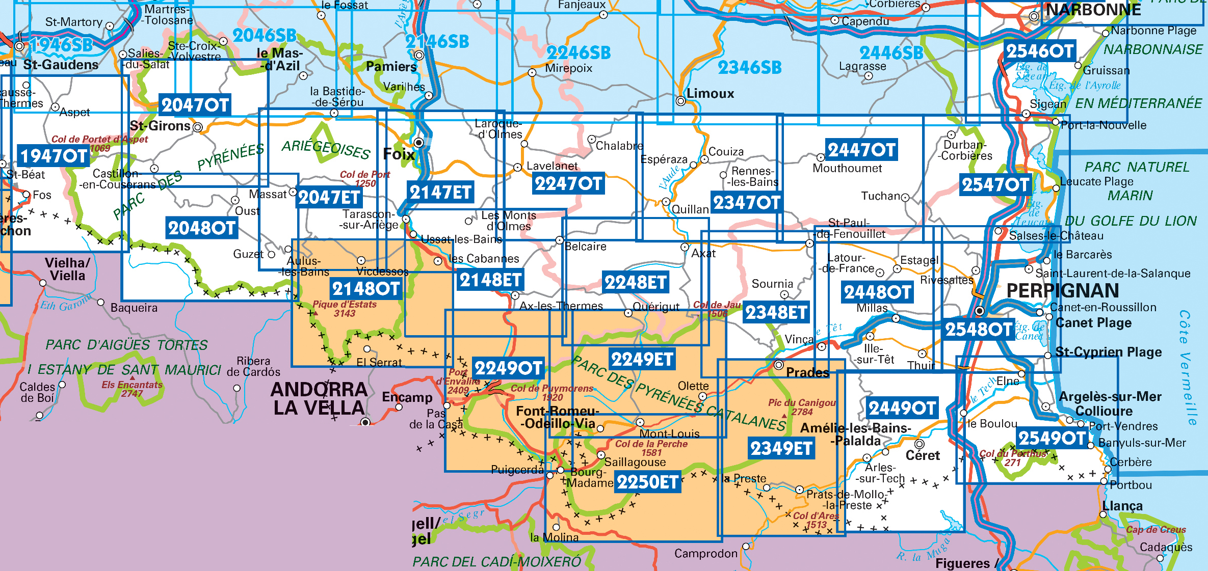
Producten op deze overzichtskaart:
Klik op een product om naar de pagina van dat product te gaan.
- Wandelkaart - Topografische kaart 1946SB St-Gaudens, Salies-du-Salat | IGN - Institut Géographique National
- Wandelkaart - Topografische kaart 1947OT Aspet, Pic de Mauberme | IGN - Institut Géographique National
- Wandelkaart - Topografische kaart 2046SB Le Mas-d'Azil, Ste-Croix-Volvestre | IGN - Institut Géographique National
- Wandelkaart - Topografische kaart 2047ET Massat - Pic des Trois Seigneurs - PNR Pyr. Ariégeoises | IGN - Institut Géographique National
- Wandelkaart - Topografische kaart 2047OT St.-Girons, Castillons-en-Couserans | IGN - Institut Géographique National
- Wandelkaart - Topografische kaart 2048OT Aulus-les-Bains, Mont Valier | IGN - Institut Géographique National
- Wandelkaart - Topografische kaart 2146SB Varilhes - Pamiers | IGN - Institut Géographique National
- Wandelkaart - Topografische kaart 2147ET Foix - Tarascon sur Ariege, Ussat, les Monts-d'Olmes | IGN - Institut Géographique National
- Wandelkaart 2148ET Ax-les-Thermes, Ussat, Les Cabannes, Ax-Bonascre | IGN - Institut Géographique National
- Wandelkaart - Topografische kaart 2148OT Vicdessos, Pic d'Estats et de Montcalm, Pyrenees-Ariegeoises | IGN - Institut Géographique National
- Wandelkaart - Topografische kaart 2246SB Mirepoix | IGN - Institut Géographique National
- Wandelkaart - Topografische kaart 2247OT Lavelanet, Chalabre, Montségur, Laroque-d'Olmes | IGN - Institut Géographique National
- Wandelkaart - Topografische kaart 2248ET Axat, Querigut | IGN - Institut Géographique National
- Wandelkaart - Topografische kaart 2249ET Font Romeu, Capcir, Olette | IGN - Institut Géographique National
- Wandelkaart - Topografische kaart 2249OT Bourg-Madame, Pic Carlit, Col de Puymorens, Port d'Envalira | IGN - Institut Géographique National
- Wandelkaart - Topografische kaart 2250ET Bourg-Madame - Mont-Louis | IGN - Institut Géographique National
- Wandelkaart - Topografische kaart 2347OT Quillan, Alet-les-Bains, Couiza, Rennes-les-Bains, Esperaza | IGN - Institut Géographique National
- Wandelkaart - Topografische kaart 2348ET Prades, Sournia, Vinca, St.Paul-de-Fenouillet | IGN - Institut Géographique National
- Wandelkaart - Topografische kaart 2349ET Massif du Canigou, La Preste, Prats-de-Mollo, Vernet-les-Bains | IGN - Institut Géographique National
- Wandelkaart - Topografische kaart 2447OT Tuchan | IGN - Institut Géographique National
- Wandelkaart - Topografische kaart 2448OT Thuir, Ille-sur-Tet, Latour-de-France, Estagel, Millas | IGN - Institut Géographique National
- Wandelkaart - Topografische kaart 2449OT Céret, Amélie-les-Bains-Palalda, Vallée du Tech | IGN - Institut Géographique National
- Wandelkaart - Topografische kaart 2548OT Perpignan, Plages du Roussillon | IGN - Institut Géographique National
- Wandelkaart - Topografische kaart 2549OT Banyuls-sur-Mer | IGN - Institut Géographique National
 Wandelkaart - Topografische kaart 2145SB Auterive - Mazères - Saverdun | IGN - Institut Géographique National
 Wandelkaart - Topografische kaart 1946SB St-Gaudens, Salies-du-Salat | IGN - Institut Géographique National
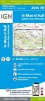 Wandelkaart - Topografische kaart 2046SB Le Mas-d'Azil, Ste-Croix-Volvestre | IGN - Institut Géographique National
 Wandelkaart - Topografische kaart 2146SB Varilhes - Pamiers | IGN - Institut Géographique National
 Fietskaart - Wandelkaart 21 Pyrenees Catalanes, Font Romeu, Massif Canigou Map | IGN - Institut Géographique National
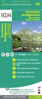 Fietskaart - Wandelkaart 20 Pyrenees Ariegeoises, Mont Valier, Pique d'Estats | IGN - Institut Géographique National
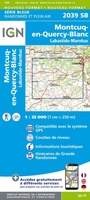 Wandelkaart - Topografische kaart 2039SB Montcuq-en-Quercy-Blanc, Labastide-Marnhac | IGN - Institut Géographique National
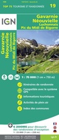 Fietskaart - Wandelkaart 19 Gavarnie Néouvielle | IGN - Institut Géographique National
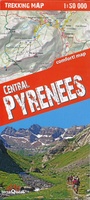 Wandelkaart Trekking map Central Pyrenees - Pyreneeën | TerraQuest★★★★★
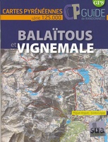 Wandelkaart Balaïtous - Vignemale | Sua edizioak
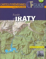 Wandelkaart Foret d'Iraty | Sua edizioak
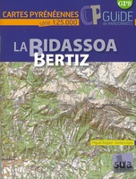 Wandelkaart La Bidassoa - Bertiz | Sua edizioak★★★★★
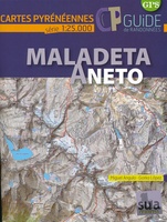 Wandelkaart Maladeta Aneto | Sua edizioak
 Wandelkaart - Topografische kaart 1344OT Bayonne | IGN - Institut Géographique National
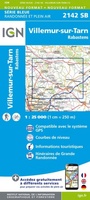 Wandelkaart - Topografische kaart 2142SB Villemur-sur-Tarn | IGN - Institut Géographique National
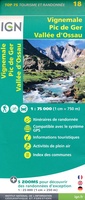 Fietskaart - Wandelkaart 18 Vignemale - Pic De Ger - Vallee D'Ossau | IGN - Institut Géographique National
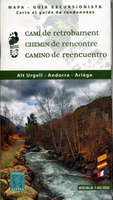 Wandelkaart Cami de Retrobament - Alt Urgell - Andorra - Ariège | Editorial Alpina
 Fietskaart - Wandelkaart 23 Pays Basque | IGN - Institut Géographique National
 Wandelkaart - Topografische kaart 1545ET Pau | IGN - Institut Géographique National
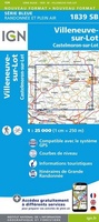 Wandelkaart - Topografische kaart 1839SB Villeneuve sur Lot - Castelmoron sur Lot | IGN - Institut Géographique National
Laatste reviews

Beetje lastige routes
Niet echt voor beginners. Ook zijn de routes soms moeilijk qua logistiek. Weer terugkomen aan het eind bv. En in voorseizoen (mei) blijft er niet …
★★★★★ door Tjeerd 17 mei 2024 | Heeft dit artikel gekocht
Goede service
Van te voren had ik een andere kaart op het oog. Toen ik in de winkel was adviseerde zij mij deze kaart. Op hun verzoek …
★★★★★ door Koen 17 mei 2024 | Heeft dit artikel gekocht
Goede kaart op fijne schaal
Ideale schaal waar ook de kleinere wegen duidelijk zijn aangegeven. Beschrijving op website is correct.
★★★★★ door Peter 16 mei 2024 | Heeft dit artikel gekocht
Fijne kaart
Overzichtelijke kaart. Niks op aan te merken.
★★★★★ door Bastiaan de Leeuw 16 mei 2024 | Heeft dit artikel gekocht