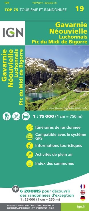
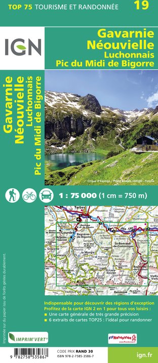
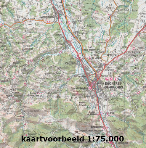
Fietskaart - Wandelkaart 19 Gavarnie Néouvielle | IGN - Institut Géographique National (9782758535867)
Luchonnais Pic du Midi de Bigorre
- ISBN / CODE: 9782758535867
- Editie: meest recente editie
- Schaal: 1:75000
- Uitgever: IGN - Institut Géographique National
- Soort: Fietskaart, Wandelkaart
- Serie: Top 75
- Taal: Engels, Frans
- Schrijf als eerste een review
-
€ 12,50
Op voorraad. Voor 17.00 uur op werkdagen besteld, morgen in huis in Nederland Levertijd Belgie
Gratis verzending in Nederland vanaf €35,-
-
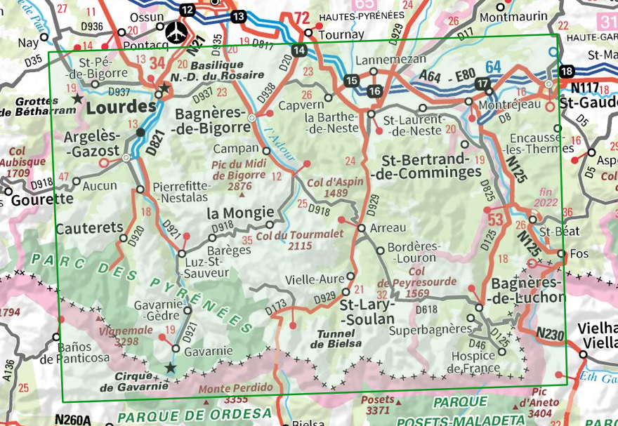
Overzicht IGN Wandelkaarten 1:75.000
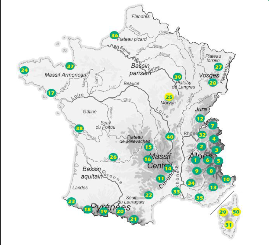
Producten op deze overzichtskaart:
Klik op een product om naar de pagina van dat product te gaan.
- Fietskaart - Wandelkaart 01 Massif du Vercors | IGN - Institut Géographique National
- Fietskaart - Wandelkaart 02 Chartreuse - Belledonne | IGN - Institut Géographique National
- Fietskaart - Wandelkaart 03 Massif de la Vanoise | IGN - Institut Géographique National
- Wandelkaart - Fietskaart 04 Beaufortain - Massif du Mont Blanc | IGN - Institut Géographique National
- Fietskaart - Wandelkaart 05 Briançonnais – Queyras | IGN - Institut Géographique National
- Fietskaart - Wandelkaart 06 Oisans Champsaur - Massif des Ecrins | IGN - Institut Géographique National
- Fietskaart - Wandelkaart 07 Entre Léman et Mont Blanc | IGN - Institut Géographique National
- Fietskaart - Wandelkaart 08 Ubaye, Val d'Allos, Lac de Serre-Poncon | IGN - Institut Géographique National
- Fietskaart - Wandelkaart 09 Diois, Devoluy, Haute-Vallée de la Drôme | IGN - Institut Géographique National
- Fietskaart - Wandelkaart 10 Mercantour | IGN - Institut Géographique National
- Wandelkaart - Fietskaart 11 Cevennes PRN - Gorges du Tarn | IGN - Institut Géographique National
- Fietskaart - Wandelkaart 12 Parc naturel régional Haut-Jura | IGN - Institut Géographique National
- Fietskaart - Wandelkaart 13 Verdon, Lac de Sainte-Croix, Valensole | IGN - Institut Géographique National
- Fietskaart - Wandelkaart 14 Gorges et Monts d'Ardèche - Ardeche | IGN - Institut Géographique National
- Wandelkaart - Fietskaart 15 Chaîne des Puys - Massif du Sancy – Auvergne | IGN - Institut Géographique National
- Wandelkaart - Fietskaart 16 Cézallier – Monts du Cantal | IGN - Institut Géographique National
- Wandelkaart - Fietskaart 17 Golfe du Morbihan | IGN - Institut Géographique National
- Fietskaart - Wandelkaart 18 Vignemale - Pic De Ger - Vallee D'Ossau | IGN - Institut Géographique National
- Fietskaart - Wandelkaart 19 Gavarnie Néouvielle | IGN - Institut Géographique National
- Fietskaart - Wandelkaart 20 Pyrenees Ariegeoises, Mont Valier, Pique d'Estats | IGN - Institut Géographique National
- Fietskaart - Wandelkaart 21 Pyrenees Catalanes, Font Romeu, Massif Canigou Map | IGN - Institut Géographique National
- Fietskaart - Wandelkaart 22 Haut-Languedoc | IGN - Institut Géographique National
- Fietskaart - Wandelkaart 23 Pays Basque | IGN - Institut Géographique National
- Fietskaart - Wandelkaart 24 Bretagne - Pointe du Raz, Presqu'ile de Crozon, Ouessant - les Abers | IGN - Institut Géographique National
- Fietskaart - Wandelkaart 25 Morvan | IGN - Institut Géographique National
- Fietskaart - Wandelkaart 26 Perigord Noir - Haut Quercy | IGN - Institut Géographique National
- Fietskaart - Wandelkaart 27 Vosges du Nord - Mont Sainte Odile - Le Donon | IGN - Institut Géographique National
- Fietskaart - Wandelkaart 28 Vosges du Sud - Ballon d'Alsace - Le Hohneck | IGN - Institut Géographique National
- Fietskaart - Wandelkaart 29 Calvi Cargese Corsica | IGN - Institut Géographique National
- Fietskaart - Wandelkaart 30 Bastia Corte Corsica | IGN - Institut Géographique National
- Fietskaart - Wandelkaart 31 Ajaccio - Porto Vecchio - Corsica | IGN - Institut Géographique National
- Fietskaart - Wandelkaart 32 Chaine des Aravis - Massif des Bauges | IGN - Institut Géographique National
- Fietskaart - Wandelkaart 33 Camargue - Alpilles - Provence | IGN - Institut Géographique National
- Wandelkaart - Fietskaart 34 Luberon - Mont Ventoux | IGN - Institut Géographique National
- Fietskaart - Wandelkaart 35 Ste Victoire - Ste Baume - Calanques - Provence | IGN - Institut Géographique National
- Fietskaart - Wandelkaart 36 Baie De Somme - Cote d'Albatre - Fecamp - Etretat - Normandië | IGN - Institut Géographique National
- Fietskaart - Wandelkaart 37 Bretagne: Saint Malo - Côte d'Emeraude - Mont Saint-Michel | IGN - Institut Géographique National
- Wandelkaart - Fietskaart 38 Île de Ré, Île d'Oléron, Marais Poitevin | IGN - Institut Géographique National
- Wandelkaart - Fietskaart 39 Forêt d'Orient, Lac du Der-Chantecoq | IGN - Institut Géographique National
- Wandelkaart - Fietskaart 40 Massif du Pilat - Monts du Forez | IGN - Institut Géographique National
Overzichtskaarten
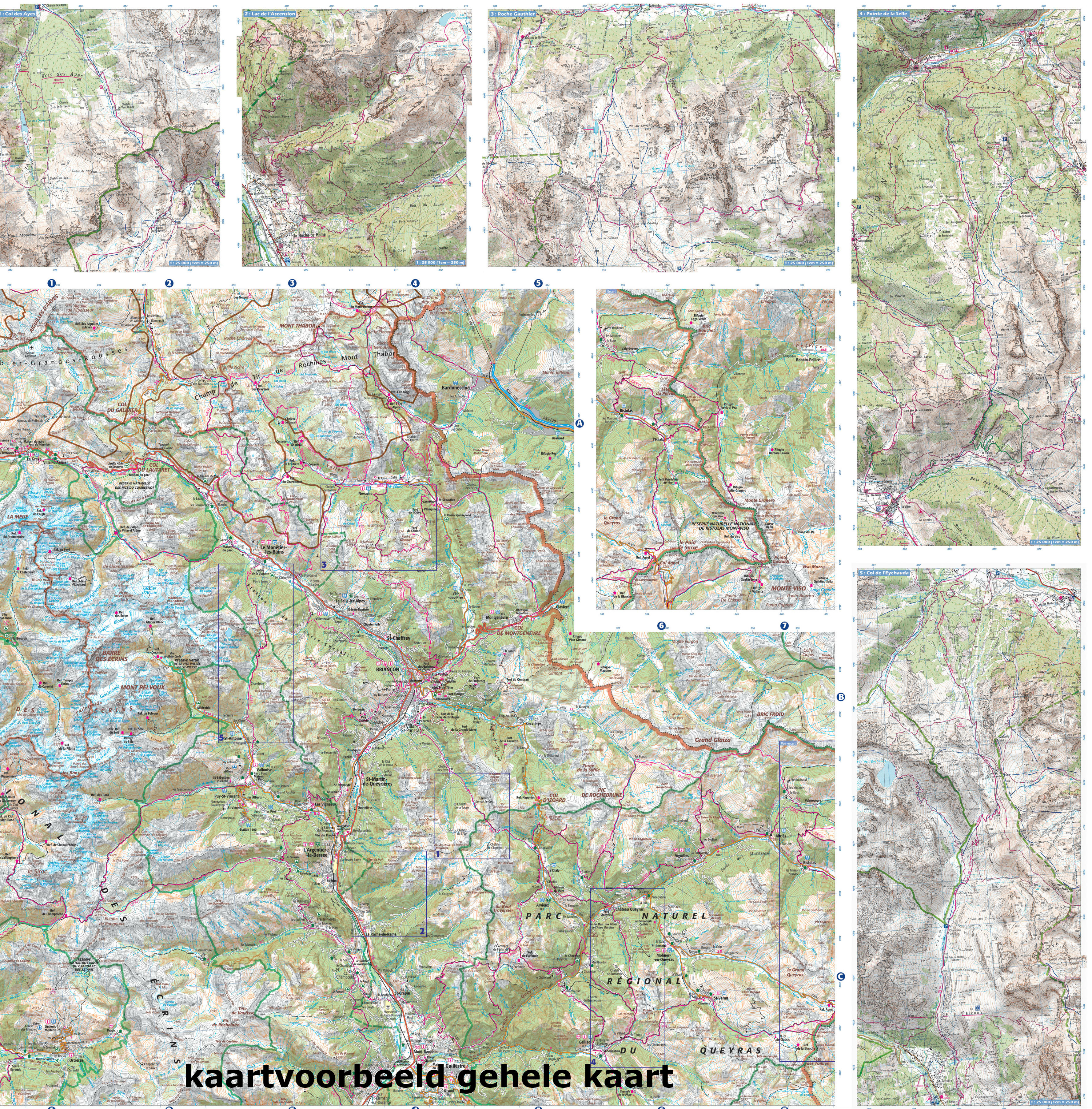
Beschrijving
Reviews
Geen reviews gevonden voor dit product.
Schrijf een review
Graag horen wij wat u van dit artikel vindt. Vindt u het goed, leuk, mooi, slecht, lelijk, onbruikbaar of erg handig: schrijf gerust alles op! Het is niet alleen leuk om te doen maar u informeert andere klanten er ook nog mee!
Ook interessant voor europa/frankrijk/pyreneeen
-
 | Routard")
Reisgids Ariège - Pyrénées (centrale
€ 5,95Reisgidsen Pyreneeën -

Fietskaart - Wegenkaart - landkaart
€ 10,95Fietskaarten Pyreneeën -

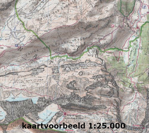
Wandelkaart - Topografische kaart 19
€ 16,95Topografische kaarten Pyreneeën -

Wandelkaart - Topografische kaart 25
€ 16,95Topografische kaarten Pyreneeën -

Wandelgids Centrale en Oostelijke Py
€ 18,99Wandelgidsen Pyreneeën