Winkelwagen
Geen items in winkelwagen
Ga naar winkelwagen
Wandelkaarten - Jura - Franche-Comte
Overzichtskaarten
-
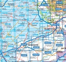
Wandelkaarten IGN 25.000 Jura : Noord
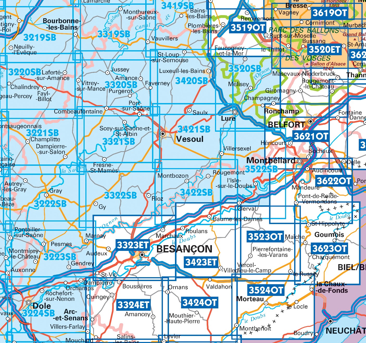
Producten op deze overzichtskaart:
Klik op een product om naar de pagina van dat product te gaan.
- Topografische kaart - Wandelkaart 3220SB Fayl-Billot | IGN - Institut Géographique National
- Topografische kaart - Wandelkaart 3221SB Champlitte | IGN - Institut Géographique National
- Wandelkaart - Topografische kaart 3222SB Gray - Autrey-lès-Gray | IGN - Institut Géographique National
- Wandelkaart - Topografische kaart 3223SB Pesmes - Gendrey | IGN - Institut Géographique National
- Wandelkaart - Topografische kaart 3224SB Dole | IGN - Institut Géographique National
- Wandelkaart - Topografische kaart 3319SB Monthureux-sur-Saône - Voisey | IGN - Institut Géographique National
- Wandelkaart - Topografische kaart 3320SB Jussey - Faverney | IGN - Institut Géographique National
- Wandelkaart - Topografische kaart 3321SB Port-sur-Saône, Fresne-St-Mamès | IGN - Institut Géographique National
- Wandelkaart - Topografische kaart 3322SB Gy - Rioz | IGN - Institut Géographique National
- Wandelkaart - Topografische kaart 3323ET Besançon - Forêt de Chailluz | IGN - Institut Géographique National
- Wandelkaart - Topografische kaart 3324ET Arc-et-Senans | IGN - Institut Géographique National
- Wandelkaart - Topografische kaart 3420SB Luxeuil-les-Bains, Conflans-sur-Lanterne | IGN - Institut Géographique National
- Wandelkaart - Topografische kaart 3421SB Vesoul | IGN - Institut Géographique National
- Wandelkaart - Topografische kaart 3422SB Baume-les-Dames | IGN - Institut Géographique National
- Wandelkaart - Topografische kaart 3423ET Baumes-les-Dames, Vallee du Doubs | IGN - Institut Géographique National
- Wandelkaart - Topografische kaart 3424OT Ornans, Source de la Loue | IGN - Institut Géographique National
- Wandelkaart - Topografische kaart 3522SB L'Isle-sur-le-Doubs, Villersexel | IGN - Institut Géographique National
- Wandelkaart - Topografische kaart 3523OT Vallee-du-Desoubre | IGN - Institut Géographique National
- Wandelkaart - Topografische kaart 3524OT Morteau | IGN - Institut Géographique National
- Wandelkaart - Topografische kaart 3621OT Belfort - Montbeliard | IGN - Institut Géographique National
- Wandelkaart - Topografische kaart 3622OT Montbéliard | IGN - Institut Géographique National
- Wandelkaart - Topografische kaart 3623OT Maîche | IGN - Institut Géographique National
-
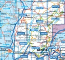
Wandelkaarten IGN 25.000 Jura : Zuid
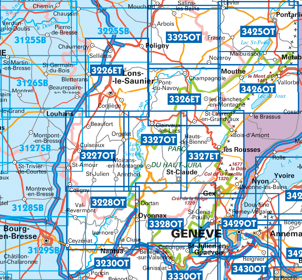
Producten op deze overzichtskaart:
Klik op een product om naar de pagina van dat product te gaan.
- Wandelkaart - Topografische kaart 3125SB Pierre-de-Bresse, St-Martin-de-Bresse | IGN - Institut Géographique National
- Wandelkaart - Topografische kaart 3128SB Montrevel-en-Bresse, Marboz | IGN - Institut Géographique National
- Wandelkaart - Topografische kaart 3129SB Bourg-en-Bresse | IGN - Institut Géographique National
- Wandelkaart - Topografische kaart 3225SB Poligny, Chaussin | IGN - Institut Géographique National
- Wandelkaart - Topografische kaart 3226ET Lons-le-Saunier - Poligny | IGN - Institut Géographique National
- Wandelkaart - Topografische kaart 3227OT Saint Amour | IGN - Institut Géographique National
- Wandelkaart - Topografische kaart 3228OT Oyonnax | IGN - Institut Géographique National
- Wandelkaart - Topografische kaart 3325OT Arbois | IGN - Institut Géographique National
- Wandelkaart - Topografische kaart 3326ET Champagnole | IGN - Institut Géographique National
- Wandelkaart - Topografische kaart 3327ET Morez - les Rousses | IGN - Institut Géographique National
- Wandelkaart - Topografische kaart 3327OT Saint-Claude | IGN - Institut Géographique National
- Wandelkaart - Topografische kaart 3328OT Crêt de la Neige | IGN - Institut Géographique National
- Wandelkaart - Topografische kaart 3425OT Pontarlier | IGN - Institut Géographique National
- Wandelkaart - Topografische kaart 3426OT Mouthe - Métabief | IGN - Institut Géographique National
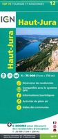 Fietskaart - Wandelkaart 12 Parc naturel régional Haut-Jura | IGN - Institut Géographique National★★★★★
 Wandelkaart - Topografische kaart 3323ET Besançon - Forêt de Chailluz | IGN - Institut Géographique National
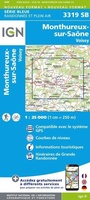 Wandelkaart - Topografische kaart 3319SB Monthureux-sur-Saône - Voisey | IGN - Institut Géographique National
 Topografische kaart - Wandelkaart 3220SB Fayl-Billot | IGN - Institut Géographique National
 Wandelkaart - Topografische kaart 3420SB Luxeuil-les-Bains, Conflans-sur-Lanterne | IGN - Institut Géographique National
 Topografische kaart - Wandelkaart 3221SB Champlitte | IGN - Institut Géographique National
 Wandelkaart - Topografische kaart 3421SB Vesoul | IGN - Institut Géographique National
 Wandelkaart - Topografische kaart 3222SB Gray - Autrey-lès-Gray | IGN - Institut Géographique National
 Wandelkaart - Topografische kaart 3322SB Gy - Rioz | IGN - Institut Géographique National
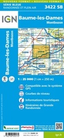 Wandelkaart - Topografische kaart 3422SB Baume-les-Dames | IGN - Institut Géographique National
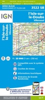 Wandelkaart - Topografische kaart 3522SB L'Isle-sur-le-Doubs, Villersexel | IGN - Institut Géographique National
 Wandelkaart - Topografische kaart 3223SB Pesmes - Gendrey | IGN - Institut Géographique National
 Wandelkaart - Topografische kaart 3125SB Pierre-de-Bresse, St-Martin-de-Bresse | IGN - Institut Géographique National
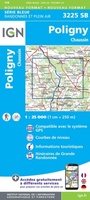 Wandelkaart - Topografische kaart 3225SB Poligny, Chaussin | IGN - Institut Géographique National
 Wandelkaart - Topografische kaart 3128SB Montrevel-en-Bresse, Marboz | IGN - Institut Géographique National
 Wandelkaart - Topografische kaart 3129SB Bourg-en-Bresse | IGN - Institut Géographique National
 Wandelkaart - Topografische kaart 3621OT Belfort - Montbeliard | IGN - Institut Géographique National
 Wandelkaart - Topografische kaart 3622OT Montbéliard | IGN - Institut Géographique National
 Wandelkaart - Topografische kaart 3623OT Maîche | IGN - Institut Géographique National
 Wandelkaart - Topografische kaart 3523OT Vallee-du-Desoubre | IGN - Institut Géographique National
Laatste reviews

Zeer tevreden
Op de hoogte gehouden van de vertraging. Zodra binnen, snel verstuurd. Hartelijk dank!
★★★★★ door Els van Blokland 24 april 2024 | Heeft dit artikel gekocht
Geweldige praktische wandelkaart
Wij zijn erg blij met deze wandelkaart, alles staat zeer duidelijk aangegeven, voordeel is dat de kaart geplastificeerd is, deze kaart is het geld zeker …
★★★★★ door Rene van den Driesche 24 april 2024 | Heeft dit artikel gekocht
Uitstekend
Uit het ruime aanbod kaarten een kaart met veel details gekozen, waarmee de voorbereiding van reis leuk wordt
★★★★★ door Ad 24 april 2024 | Heeft dit artikel gekocht
Goede duidelijke kaart
Handige informatieve kaart van de kust van Normandie van D Day.Wij gebruiken de kaart voor het voorbereiden van de Herdenking 80 jaar.
★★★★★ door Mary 24 april 2024 | Heeft dit artikel gekocht