Winkelwagen
Geen items in winkelwagen
Ga naar winkelwagen
Top 25
De kaarten van IGN (kort voor Institute Geographique National), wandelkaarten voor Frankrijk, zijn van een ongekend hoog niveau. Met name de wandelkaarten 1:25.000 vinden wij geweldig: werkelijk alles staat erop, de kaarten bevatten zeer veel details en het kleurgebruik is fantastisch, waardoor alles ook nog eens heel goed leesbaar. Je hoort het: wij zijn fan van deze kaarten!
 Wandelkaart - Topografische kaart 3333OT Massif de la Chartreuse Nord | IGN - Institut Géographique National★★★★★★★★★★
 Wandelkaart - Topografische kaart 3334OT Massif de la Chartreuse Sud | IGN - Institut Géographique National★★★★★
 Wandelkaart - Topografische kaart 3335ET le Bourg d'Oisans - l'Alpe d'Huez | IGN - Institut Géographique National★★★★★
 Wandelkaart - Topografische kaart 3335OT Grenoble | IGN - Institut Géographique National★★★★★
 Wandelkaart - Topografische kaart 3335OTR Grenoble | IGN - Institut Géographique National
 Wegenkaart - landkaart 3336ET Les Deux Alpes | IGN - Institut Géographique National★★★★★
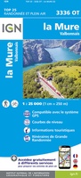 Wandelkaart - Topografische kaart 3336OT La Mure | IGN - Institut Géographique National★★★★★
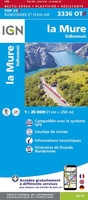 Wandelkaart - Topografische kaart 3336OTR La Mure / Valbonnais | IGN - Institut Géographique National
 Wandelkaart - Topografische kaart 3337OT Dévoluy | IGN - Institut Géographique National★★★★★★★★★★
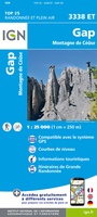 Wandelkaart - Topografische kaart 3338ET Gap | IGN - Institut Géographique National★★★★★
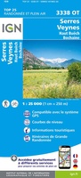 Wandelkaart - Topografische kaart 3338OT Serres - Veynes | IGN - Institut Géographique National
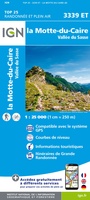 Wandelkaart - Topografische kaart 3339ET la Motte-du-Caire | IGN - Institut Géographique National
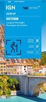 Wandelkaart 3339OT Sisteron / Laragne-Montéglin / Montagne de Chabre | IGN - Institut Géographique National★★★★★
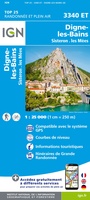 Wandelkaart - Topografische kaart 3340ET Digne-les-Bains | IGN - Institut Géographique National
 Wandelkaart - Topografische kaart 3342ET Plateau de Valensole | IGN - Institut Géographique National
 Wandelkaart - Topografische kaart 3342OT Manosque - Forcalquier | IGN - Institut Géographique National
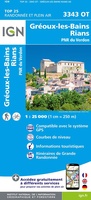 Wandelkaart - Topografische kaart 3343OT Gréoux-les-Bains - Rians | IGN - Institut Géographique National
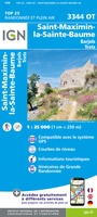 Wandelkaart - Topografische kaart 3344OT Saint-Maximin-la-Sainte-Baume | IGN - Institut Géographique National
 Wandelkaart - Topografische kaart 3345OT Signes – Tourves | IGN - Institut Géographique National
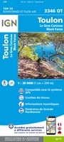 Wandelkaart - Topografische kaart 3346OT Toulon | IGN - Institut Géographique National
Laatste reviews

Duidelijk, overzichtelijk en geplastificeerde wandelkaart
Uitstekend
★★★★★ door Nelly van Ginkel 24 juli 2026 | Heeft dit artikel gekocht
Handige kaart
Fijne kaart waterafstootend.
★★★★★ door Nicole 21 juli 2026 | Heeft dit artikel gekocht
Mooie kaart.
Mooie helder kaart, netjes bezorgd
★★★★★ door Michael Rijke 21 juli 2026 | Heeft dit artikel gekocht
Mooie wandelkaart, lekker stevig ook!
Fijne wandelkaart, gedetailleerd en met veel extra info. Super fijn om m voor onze vakantie al te kunnen kopen, zo kon de voorpret al beginnen …
★★★★★ door Wille Groenewolt 21 juli 2026 | Heeft dit artikel gekocht