Winkelwagen
Geen items in winkelwagen
Ga naar winkelwagen
Top 25
De kaarten van IGN (kort voor Institute Geographique National), wandelkaarten voor Frankrijk, zijn van een ongekend hoog niveau. Met name de wandelkaarten 1:25.000 vinden wij geweldig: werkelijk alles staat erop, de kaarten bevatten zeer veel details en het kleurgebruik is fantastisch, waardoor alles ook nog eens heel goed leesbaar. Je hoort het: wij zijn fan van deze kaarten!
 Wegenkaart - landkaart 3437ET Orcières-Merlette | IGN - Institut Géographique National★★★★★
 Wandelkaart 3437OT Champsaur / Vieux Chaillol / PNR des Ecrins | IGN - Institut Géographique National★★★★★
 Wandelkaart 3441OT Barrême / Vallée de l'Asse / PNR du Verdon | IGN - Institut Géographique National
 Wandelkaart - Topografische kaart 3442OT Gorges du Verdon | IGN - Institut Géographique National
 Wandelkaart 3442OTR Gorges du Verdon | IGN - Institut Géographique National
 Wandelkaart - Topografische kaart 3443OT Aups | IGN - Institut Géographique National
 Wandelkaart - Topografische kaart 3444OT Brignoles - le Luc | IGN - Institut Géographique National
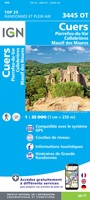 Wandelkaart - Topografische kaart 3445OT Cuers | IGN - Institut Géographique National
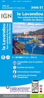 Wandelkaart - Topografische kaart 3446ET Le Lavandou | IGN - Institut Géographique National
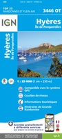 Wandelkaart - Topografische kaart 3446OT Hyères | IGN - Institut Géographique National
 Wandelkaart - Topografische kaart 3518OT Epinal | IGN - Institut Géographique National
 Wandelkaart - Topografische kaart 3519OT Remiremont | IGN - Institut Géographique National★★★★★
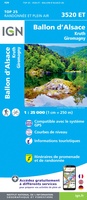 Wandelkaart - Topografische kaart 3520ET Ballon d'Alsace | IGN - Institut Géographique National★★★★★★★★★★
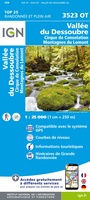 Wandelkaart - Topografische kaart 3523OT Vallee-du-Desoubre | IGN - Institut Géographique National
 Wandelkaart - Topografische kaart 3524OT Morteau | IGN - Institut Géographique National
 Wandelkaart - Topografische kaart 3528ET Morzine | IGN - Institut Géographique National★★★★★
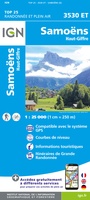 Wandelkaart - Topografische kaart 3530ET Samoëns | IGN - Institut Géographique National★★★★★
 Wandelkaart - Topografische kaart 3531ET Saint-Gervais-les-Bains | IGN - Institut Géographique National★★★★★
 Wandelkaart - Topografische kaart 3531OT Megève | IGN - Institut Géographique National★★★★★
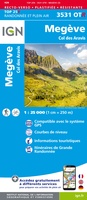 Wandelkaart - Topografische kaart 3531OTR Megève | IGN - Institut Géographique National
Laatste reviews

Duidelijk, overzichtelijk en geplastificeerde wandelkaart
Uitstekend
★★★★★ door Nelly van Ginkel 24 juli 2026 | Heeft dit artikel gekocht
Handige kaart
Fijne kaart waterafstootend.
★★★★★ door Nicole 21 juli 2026 | Heeft dit artikel gekocht
Mooie kaart.
Mooie helder kaart, netjes bezorgd
★★★★★ door Michael Rijke 21 juli 2026 | Heeft dit artikel gekocht
Mooie wandelkaart, lekker stevig ook!
Fijne wandelkaart, gedetailleerd en met veel extra info. Super fijn om m voor onze vakantie al te kunnen kopen, zo kon de voorpret al beginnen …
★★★★★ door Wille Groenewolt 21 juli 2026 | Heeft dit artikel gekocht