Winkelwagen
Geen items in winkelwagen
Ga naar winkelwagen
Top 25
De kaarten van IGN (kort voor Institute Geographique National), wandelkaarten voor Frankrijk, zijn van een ongekend hoog niveau. Met name de wandelkaarten 1:25.000 vinden wij geweldig: werkelijk alles staat erop, de kaarten bevatten zeer veel details en het kleurgebruik is fantastisch, waardoor alles ook nog eens heel goed leesbaar. Je hoort het: wij zijn fan van deze kaarten!
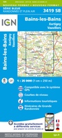 Wandelkaart - Topografische kaart 3419 Bains-les-Bains | IGN - Institut Géographique National
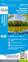 Wandelkaart - Topografische kaart 3423ET Baumes-les-Dames, Vallee du Doubs | IGN - Institut Géographique National
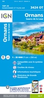 Wandelkaart - Topografische kaart 3424OT Ornans, Source de la Loue | IGN - Institut Géographique National
 Wandelkaart - Topografische kaart 3425OT Pontarlier | IGN - Institut Géographique National★★★★★
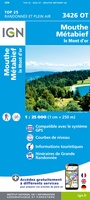 Wandelkaart - Topografische kaart 3426OT Mouthe - Métabief | IGN - Institut Géographique National★★★★★
 Wandelkaart - Topografische kaart 3428ET Thonon les Bains - Évian les Bains | IGN - Institut Géographique National
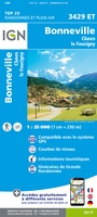 Wandelkaart - Topografische kaart 3429ET Bonneville | IGN - Institut Géographique National
 Wandelkaart - Topografische kaart 3429OT Geneve | IGN - Institut Géographique National
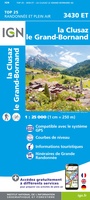 Wandelkaart - Topografische kaart 3430ET La Clusaz - le Grand-Bornand | IGN - Institut Géographique National★★★★★
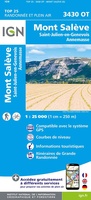 Wandelkaart - Topografische kaart 3430OT Mont Salève | IGN - Institut Géographique National
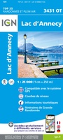 Wandelkaart - Topografische kaart 3431OT Lac d'Annecy | IGN - Institut Géographique National★★★★★
 Wandelkaart - Topografische kaart 3431OTR Lac d'Annecy | IGN - Institut Géographique National
 Wandelkaart - Topografische kaart 3432ET Albertville | IGN - Institut Géographique National
 Wandelkaart - Topografische kaart 3432OT Massif des Bauges | IGN - Institut Géographique National
 Wandelkaart - Topografische kaart 3432OTR Massif des Bauges | IGN - Institut Géographique National
 Wandelkaart - Topografische kaart 3433ET Saint-Jean-de-Maurienne | IGN - Institut Géographique National
 Wandelkaart - Topografische kaart 3433OT Allevard | IGN - Institut Géographique National
 Wandelkaart 3435ET Valloire / Aiguilles d'Arves / Col du Galibier | IGN - Institut Géographique National★★★★★
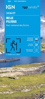 Wandelkaart 3436ET Meije - Pelvoux | IGN - Institut Géographique National★★★★★
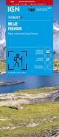 Wandelkaart 3436ETR Meije, Mont Pelvoux (Parc national des Ecrins) | IGN - Institut Géographique National★★★★★
Laatste reviews

Duidelijk, overzichtelijk en geplastificeerde wandelkaart
Uitstekend
★★★★★ door Nelly van Ginkel 24 juli 2026 | Heeft dit artikel gekocht
Handige kaart
Fijne kaart waterafstootend.
★★★★★ door Nicole 21 juli 2026 | Heeft dit artikel gekocht
Mooie kaart.
Mooie helder kaart, netjes bezorgd
★★★★★ door Michael Rijke 21 juli 2026 | Heeft dit artikel gekocht
Mooie wandelkaart, lekker stevig ook!
Fijne wandelkaart, gedetailleerd en met veel extra info. Super fijn om m voor onze vakantie al te kunnen kopen, zo kon de voorpret al beginnen …
★★★★★ door Wille Groenewolt 21 juli 2026 | Heeft dit artikel gekocht