Winkelwagen
Geen items in winkelwagen
Ga naar winkelwagen
Topografische kaarten - Midi-Pyrénées
 Wandelkaart - Topografische kaart 2442 SB - Serie Bleue Belmont-sur-Rance, St-Sernin-sur-Rance | IGN - Institut Géographique National
 Wandelkaart - Topografische kaart 2137 SB - Serie Bleue Gramat | IGN - Institut Géographique National
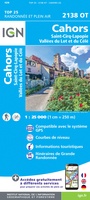 Wandelkaart - Topografische kaart 2138OT Cahors | IGN - Institut Géographique National★★★★★
 Wandelkaart - Topografische kaart 2139 SB - Serie Bleue Cahors | IGN - Institut Géographique National
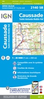 Wandelkaart - Topografische kaart 2140 SB - Serie Bleue Caussade | IGN - Institut Géographique National
 Wandelkaart - Topografische kaart 2141 SB - Serie Bleue Nègrepelisse | IGN - Institut Géographique National★★★★★
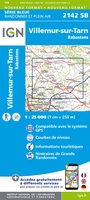 Wandelkaart - Topografische kaart 2142 SB - Serie Bleue Villemur-sur-Tarn | IGN - Institut Géographique National
 Wandelkaart - Topografische kaart 2143 SB - Serie Bleue Montastruc-la-Conseillère, Lavaur | IGN - Institut Géographique National
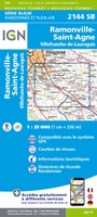 Wandelkaart - Topografische kaart 2144 SB - Serie Bleue Ramonville-Saint-Agne | IGN - Institut Géographique National
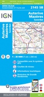 Wandelkaart - Topografische kaart 2145 SB - Serie Bleue Auterive - Mazères - Saverdun | IGN - Institut Géographique National
 Topografische kaart 146 MT50 Monte Perdido | CNIG - Instituto Geográfico Nacional1
 Topografische kaart 149 MT50 Salardú | CNIG - Instituto Geográfico Nacional1
 Wandelkaart - Topografische kaart 1641 SB - Serie Bleue Roquefort | IGN - Institut Géographique National
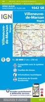 Wandelkaart - Topografische kaart 1642 SB - Serie Bleue Villeneuve-de-Marsan | IGN - Institut Géographique National
 Wandelkaart - Topografische kaart 1643 SB - Serie Bleue Aire-sur-l'Adour | IGN - Institut Géographique National
 Topografische kaart - Wandelkaart 1645 Pontacq - Ossun - Ger | IGN - Institut Géographique National
 Wandelkaart - Topografische kaart 1647ET Lourdes, Argeles-Gazost, Le Lavedan, Pierrefitte-Nestalas, Aucun | IGN - Institut Géographique National★★★★★
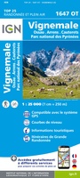 Wandelkaart - Topografische kaart 1647OT Vignemale, Ossau, Cauterets, Gourette | IGN - Institut Géographique National★★★★★
 Topografische kaart - Wandelkaart 1742 SB - Serie Bleue Eauze | IGN - Institut Géographique National★★★★★
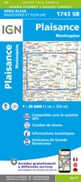 Wandelkaart - Topografische kaart 1743 SB - Serie Bleue Plaisance - Montesquiou | IGN - Institut Géographique National
Laatste reviews

Onmisbaar
Deze kaart is onmisbaar bij het wandelen in de Eifel, we lopen jaarlijks de Hermannsweg met een vergelijkbare kaart en we kunnen echt niet zonder, …
★★★★★ door R. van den Driesche 01 juli 2026 | Heeft dit artikel gekocht
Prima kaart doe vlot is geleverd.
Ideale kaart om als toerist door Jutland te trekken. Prettige schaal.
★★★★★ door Irma van Hof 01 juli 2026 | Heeft dit artikel gekocht
Prima wandelgidsen
Kompassboekjes zijn prima gidsen. Dat wordt een leuke vakantie.
★★★★★ door Anna 01 juli 2026 | Heeft dit artikel gekocht
Handig formaat en gedetailleerd
Perfecte wegenatlas en door het A4 formaat handiger dan een uitvouwbare kaart. Fijne combinatie van de wegenatlas en het navigatiesysteem van google maps
★★★★★ door Hay van Emden 30 juni 2026 | Heeft dit artikel gekocht