Winkelwagen
Geen items in winkelwagen
Ga naar winkelwagen
Topografische kaarten - Hauts-de-France
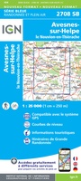 Wandelkaart - Topografische kaart 2708 SB - Serie Bleue Le Nouvion-en-Thiérache, Avesnes-sur-Helpe | IGN - Institut Géographique National
 Wandelkaart - Topografische kaart 2709 SB - Serie Bleue Vervins - Marie | IGN - Institut Géographique National
 Wandelkaart - Topografische kaart 2710 SB - Serie Bleue Sissonne - Laon | IGN - Institut Géographique National
 Wandelkaart - Topografische kaart 2808 SB - Serie Bleue Hirson - Fourmies | IGN - Institut Géographique National
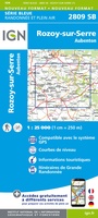 Wandelkaart - Topografische kaart 2809 SB - Serie Bleue Rozoy-sur-Serre - Aubenton | IGN - Institut Géographique National★★★★★
 Wandelkaart - Topografische kaart 2810 SB - Serie Bleue Château-Porcien, Dizy-le-Gros | IGN - Institut Géographique National
 Wandelkaart - Topografische kaart 2811 SB - Serie Bleue Bazancourt - Guignicourt - Asfeld | IGN - Institut Géographique National
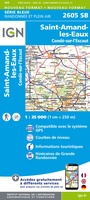 Wandelkaart - Topografische kaart 2605 SB - Serie Bleue Condé-sur-l'Escaut, St-Amand-les-Eaux | IGN - Institut Géographique National
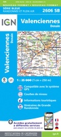 Wandelkaart - Topografische kaart 2606 SB - Serie Bleue Valenciennes - Denain | IGN - Institut Géographique National
 Wandelkaart - Topografische kaart 2608 SB - Serie Bleue Bohain-en-Vermandois, Guise | IGN - Institut Géographique National
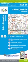 Wandelkaart - Topografische kaart 2609 SB - Serie Bleue Ribemont - Saint Quentin | IGN - Institut Géographique National
 Wandelkaart - Topografische kaart 2610 SB - Serie Bleue Tergnier, Forêt de St-Gobain et Coucy Basse | IGN - Institut Géographique National
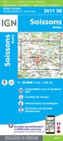 Wandelkaart - Topografische kaart 2611 SB - Serie Bleue Braine - Soissons | IGN - Institut Géographique National
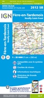 Wandelkaart - Topografische kaart 2612 SB - Serie Bleue Fère-en-Tardenois, Neuilly-St-Front | IGN - Institut Géographique National
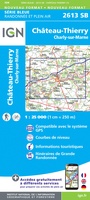 Wandelkaart - Topografische kaart 2613 SB - Serie Bleue Château-Thierry, Charly-sur-Marne | IGN - Institut Géographique National★★★★★
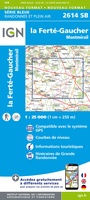 Wandelkaart - Topografische kaart 2614 SB - Serie Bleue La Ferté-Gaucher, Montmirail | IGN - Institut Géographique National
 Wandelkaart - Topografische kaart 2210 SB - Serie Bleue Crèvecoeur-le-Grand, Grandvilliers | IGN - Institut Géographique National
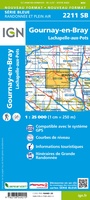 Wandelkaart - Topografische kaart 2211 SB - Serie Bleue Gournay-en-Bray , Lachapelle-aux-Pots | IGN - Institut Géographique National
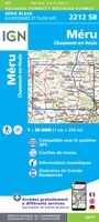 Wandelkaart - Topografische kaart 2212 SB - Serie Bleue Méru, Chaumont-en-Vexin | IGN - Institut Géographique National
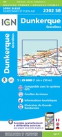 Topografische kaart - Wandelkaart 2302 SB - Serie Bleue Dunkerque - Gravelines | IGN - Institut Géographique National
Laatste reviews

Compact gidsje
Ben nog niet het veld in geweest met de gids maar de eerste indruk is veel informatie om een meerdaagse tocht uit te stippelen.
★★★★★ door Henk 04 juli 2026 | Heeft dit artikel gekocht
Beschikbaarheid en snelheid
Prima in orde!
★★★★★ door Marko 04 juli 2026 | Heeft dit artikel gekocht
Lekker analoog
Fijn boekje met veel informatie, behalve knooppunten Utrecht af en toe incorrect. Wat heerlijk om offline te navigeren, lekker analoog. Zodra je het systeem begrijpt …
★★★★★ door Daan 03 juli 2026 | Heeft dit artikel gekocht
Aanrader
Als je van geschiedenis, Groningen en kaarteen houdt, is dit echt een aanrader!
★★★★★ door Reinout 03 juli 2026 | Heeft dit artikel gekocht