Topografische kaarten - Frankrijk
De kaarten van IGN (kort voor Institute Geographique National), wandelkaarten voor Frankrijk, zijn van een ongekend hoog niveau. Met name de wandelkaarten 1:25.000 vinden wij geweldig: werkelijk alles staat erop, de kaarten bevatten zeer veel details en het kleurgebruik is fantastisch, waardoor alles ook nog eens heel goed leesbaar. Je hoort het: wij zijn fan van deze kaarten!
 Wandelkaart - Topografische kaart 1747ET Bagnères-de-Bigorre | IGN - Institut Géographique National
 Wandelkaart - Topografische kaart 1748ET Neouvielle | IGN - Institut Géographique National★★★★★
 Wandelkaart - Topografische kaart 1748OT Gavarnie | IGN - Institut Géographique National★★★★★★★★★★
 Wandelkaart - Topografische kaart 1809OT Fecamp, St-Valery-en-Caux, Cote d'Albatre | IGN - Institut Géographique National
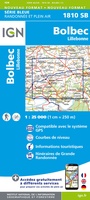 Wandelkaart - Topografische kaart 1810 SB - Serie Bleue Bolbec | IGN - Institut Géographique National
 Wandelkaart - Topografische kaart 1811OT Pont Audemer Tancarville | IGN - Institut Géographique National★★★★★
 Wandelkaart - Topografische kaart 1812 SB - Serie Bleue Brionne – Cormeilles | IGN - Institut Géographique National
 Wandelkaart - Topografische kaart 1813 SB - Serie Bleue Bernay - Orbec | IGN - Institut Géographique National
 Wandelkaart - Topografische kaart 1814 SB - Serie Bleue Rugles – La Ferté-Frênel | IGN - Institut Géographique National
 Wandelkaart - Topografische kaart 1815 SB - Serie Bleue L'Aigle - Ste-Gauburge - Ste Colombe | IGN - Institut Géographique National
 Wandelkaart - Topografische kaart 1816 SB - Serie Bleue Mortagne-au-Perche - Mêle-sur-Sarthe | IGN - Institut Géographique National
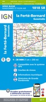 Wandelkaart - Topografische kaart 1818 SB - Serie Bleue La Ferté-Bernard | IGN - Institut Géographique National
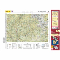 Topografische kaart 182 MT50 Rivera de Cardós | CNIG - Instituto Geográfico Nacional1
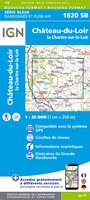 Wandelkaart - Topografische kaart 1820 SB - Serie Bleue Château-du-Loir- La Chartre-sur-Loir | IGN - Institut Géographique National★★★★★
 Wandelkaart - Topografische kaart 1821 SB - Serie Bleue Château-du-Loir, Neuillé-Pont-Pierre | IGN - Institut Géographique National
 Wandelkaart - Topografische kaart 1822 SB - Serie Bleue Tours - Langeais | IGN - Institut Géographique National
 Topografische kaart - Wandelkaart 1823 SB - Serie Bleue Chambray-les-Tours | IGN - Institut Géographique National
 Wandelkaart - Topografische kaart 1824 SB - Serie Bleue Sainte-Maure-de-Touraine, L'Ile Bouchard | IGN - Institut Géographique National
 Wandelkaart - Topografische kaart 1825 SB - Serie Bleue Chatellerault - Descartes | IGN - Institut Géographique National
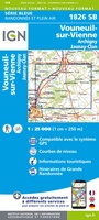 Wandelkaart - Topografische kaart 1826 SB - Serie Bleue Vouneuil-sur-Vienne, Archigny, Jaunay-Clan | IGN - Institut Géographique National
Laatste reviews

De ontvanger van dit cadeau is er erg blij mee. De Zwerver heeft het mooi naar het cadeaukaarten verstuurd. Er wordt vaak mee gespeeld.
★★★★★ door Carola 26 december 2025 | Heeft dit artikel gekocht
Super gedetailleerde kaart met alle routes en wandelroutes. Ik ben er blij mee.
★★★★★ door Rob 26 december 2025 | Heeft dit artikel gekocht
Zeer gedetaillerd, fijn groot formaat atlas voor reizen met auto of camper. Niet geschikt voor backpackers want groot en vrij zwaar.
★★★★★ door Inge Hens 23 december 2025 | Heeft dit artikel gekocht
Ik heb iemand met Sinterklaas héél blij gemaakt met de kaarten. Hij kon er niet genoeg van krijgen en gaf geregeld aan dat hij verheugd …
★★★★★ door Peet Maessen 23 december 2025 | Heeft dit artikel gekocht