Topografische kaarten - Frankrijk
De kaarten van IGN (kort voor Institute Geographique National), wandelkaarten voor Frankrijk, zijn van een ongekend hoog niveau. Met name de wandelkaarten 1:25.000 vinden wij geweldig: werkelijk alles staat erop, de kaarten bevatten zeer veel details en het kleurgebruik is fantastisch, waardoor alles ook nog eens heel goed leesbaar. Je hoort het: wij zijn fan van deze kaarten!
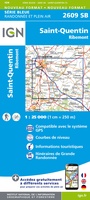 Wandelkaart - Topografische kaart 2609 SB - Serie Bleue Ribemont - Saint Quentin | IGN - Institut Géographique National
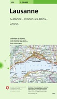 Wandelkaart - Topografische kaart 261 Lausanne | Swisstopo
 Wandelkaart - Topografische kaart 2610 SB - Serie Bleue Tergnier, Forêt de St-Gobain et Coucy Basse | IGN - Institut Géographique National
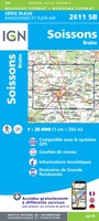 Wandelkaart - Topografische kaart 2611 SB - Serie Bleue Braine - Soissons | IGN - Institut Géographique National
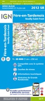 Wandelkaart - Topografische kaart 2612 SB - Serie Bleue Fère-en-Tardenois, Neuilly-St-Front | IGN - Institut Géographique National
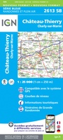 Wandelkaart - Topografische kaart 2613 SB - Serie Bleue Château-Thierry, Charly-sur-Marne | IGN - Institut Géographique National★★★★★
 Wandelkaart - Topografische kaart 2614 SB - Serie Bleue La Ferté-Gaucher, Montmirail | IGN - Institut Géographique National
 Wandelkaart - Topografische kaart 2615 SB - Serie Bleue Esternay, Villiers-St-Georges | IGN - Institut Géographique National
 Wandelkaart - Topografische kaart 2616 SB - Serie Bleue Provins | IGN - Institut Géographique National
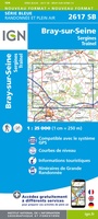 Wandelkaart - Topografische kaart 2617 SB - Serie Bleue Bray-sur-Seine | IGN - Institut Géographique National
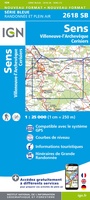 Wandelkaart - Topografische kaart 2618 SB - Serie Bleue Sens | IGN - Institut Géographique National
 Wandelkaart - Topografische kaart 2619 SB - Serie Bleue Joigny | IGN - Institut Géographique National
 Wandelkaart - Topografische kaart 2620 SB - Serie Bleue Auxerre - Toucy | IGN - Institut Géographique National
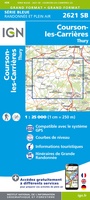 Topografische kaart - Wandelkaart 2621 SB - Serie Bleue Courson-les-Carrières, Thury | IGN - Institut Géographique National
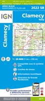 Wandelkaart - Topografische kaart 2622 SB - Serie Bleue Clamecy - Varzy | IGN - Institut Géographique National
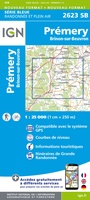 Topografische kaart - Wandelkaart 2623 SB - Serie Bleue Prémery | IGN - Institut Géographique National
 Wandelkaart - Topografische kaart 2624 SB - Serie Bleue St-Benin-D'Azy – St-Saulge | IGN - Institut Géographique National
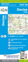 Wandelkaart - Topografische kaart 2625 SB - Serie Bleue Decize - Imphy | IGN - Institut Géographique National
 Wandelkaart - Topografische kaart 2626 SB - Serie Bleue Dornes | IGN - Institut Géographique National
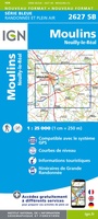 Wandelkaart - Topografische kaart 2627 SB - Serie Bleue Moulins | IGN - Institut Géographique National
Laatste reviews

Op zich een goede kaart, maar het is eigenlijk gewoon een uitvergroting van de bekende 1:200.000-kaarten, dus weinig tot geen extra informatie. Wel wat duidelijker …
★★★★★ door FGM Ballhaus 13 mei 2026 | Heeft dit artikel gekocht
Duidelijke kaart, goed voor fietsen, iets minder voor wandelen door de schaal, maar er is heel weinig kaartmateriaal voor dit gebied dus daarom toch dik …
★★★★★ door FGM Ballhaus 13 mei 2026 | Heeft dit artikel gekocht
Fietskaart is een goede aanvulling op de Nederlandse fietskaarten, laat de Achterhoek zien maar ook een heel stuk Duitsland in (naar het oosten). Kwalitatief ook …
★★★★★ door FGM Ballhaus 13 mei 2026 | Heeft dit artikel gekocht
Keurig verpakt, snel verzonden. Boek voldoet aan mijn verwachtingen!
★★★★★ door Beatrice 12 mei 2026 | Heeft dit artikel gekocht