Topografische kaarten - Frankrijk
De kaarten van IGN (kort voor Institute Geographique National), wandelkaarten voor Frankrijk, zijn van een ongekend hoog niveau. Met name de wandelkaarten 1:25.000 vinden wij geweldig: werkelijk alles staat erop, de kaarten bevatten zeer veel details en het kleurgebruik is fantastisch, waardoor alles ook nog eens heel goed leesbaar. Je hoort het: wij zijn fan van deze kaarten!
 Wandelkaart - Topografische kaart 2842OT Sommières, Vergèze | IGN - Institut Géographique National
 Wandelkaart - Topografische kaart 2843OT Aigues - Mortes - La Grande Motte | IGN - Institut Géographique National
 Wandelkaart - Topografische kaart 2909 SB - Serie Bleue Renwez-Signy, L'Abbaye | IGN - Institut Géographique National★★★★★
 Wandelkaart - Topografische kaart 2910 SB - Serie Bleue Rethel - Tourteron | IGN - Institut Géographique National
 Wandelkaart - Topografische kaart 2911 SB - Serie Bleue Attigny | IGN - Institut Géographique National
 Wandelkaart - Topografische kaart 2912 SB - Serie Bleue Mourmelon-le-Grand | IGN - Institut Géographique National
 Wandelkaart - Topografische kaart 2913 SB - Serie Bleue Châlons-en-Champagne | IGN - Institut Géographique National
 Wandelkaart - Topografische kaart 2914 SB - Serie Bleue Marson, Châlons-en-Champagne | IGN - Institut Géographique National
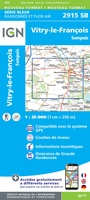 Wandelkaart - Topografische kaart 2915 SB - Serie Bleue Vitry-le-François, Sompuis | IGN - Institut Géographique National
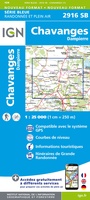 Wandelkaart - Topografische kaart 2916 SB - Serie Bleue Chavanges, Dampierre | IGN - Institut Géographique National
 Wandelkaart - Topografische kaart 2917 SB - Serie Bleue Brienne-le-Chateau, Piney, Lacs de la Foret d'Orient | IGN - Institut Géographique National
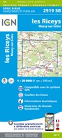 Topografische kaart - Wandelkaart 2919 SB - Serie Bleue les Riceys | IGN - Institut Géographique National
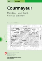 Wandelkaart - Topografische kaart 292 Courmayeur | Swisstopo
 Topografische kaart - Wandelkaart 2920 SB - Serie Bleue Châtillon-sur-Seine | IGN - Institut Géographique National
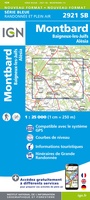 Topografische kaart - Wandelkaart 2921 Baigneux-les-Juifs, Alésia, Montbard | IGN - Institut Géographique National
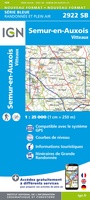 Wandelkaart - Topografische kaart 2922 SB - Serie Bleue Semur-en-Auxois – Vitteaux | IGN - Institut Géographique National★★★★★
 Wandelkaart - Topografische kaart 2923 SB - Serie Bleue Pouilly-en-Auxois – Thoisy-la-Berchère | IGN - Institut Géographique National
 Wandelkaart - Topografische kaart 2924 SB - Serie Bleue Arnay-le-Duc – Epignac | IGN - Institut Géographique National★★★★★
 Wandelkaart - Topografische kaart 2925 SB - Serie Bleue Autun - Le Creusot | IGN - Institut Géographique National
 Wandelkaart - Topografische kaart 2926 SB - Serie Bleue Montceau-les-Mines, Ecuisses | IGN - Institut Géographique National
Laatste reviews

Rother wandelgidsen stellen nooit teleur. Mooie routes, goede opgave kilometers, hoogtemeters en horeca. Een aanrader!
★★★★★ door Anita Geel 13 januari 2026 | Heeft dit artikel gekocht
Mooi boek met prachtige foto’s! Voldoet helemaal aan mijn verwachtingen.
★★★★★ door Hans Eldering 13 januari 2026 | Heeft dit artikel gekocht
het product voldeed aan mijn verwachtingen en was geplastificeerd wat natuurlijk perfect is voor kaart die veel wordt geraadpleegd!
★★★★★ door Peter Lantinga 13 januari 2026 | Heeft dit artikel gekocht
Ik heb de wegenkaart Maleisië aangeschaft om zelf een rondreis per huurauto te kunnen plannen. Deze kaart heeft daar heel goed bij geholpen doordat er …
★★★★★ door M. Rizvi 13 januari 2026 | Heeft dit artikel gekocht