Topografische kaarten - Frankrijk
De kaarten van IGN (kort voor Institute Geographique National), wandelkaarten voor Frankrijk, zijn van een ongekend hoog niveau. Met name de wandelkaarten 1:25.000 vinden wij geweldig: werkelijk alles staat erop, de kaarten bevatten zeer veel details en het kleurgebruik is fantastisch, waardoor alles ook nog eens heel goed leesbaar. Je hoort het: wij zijn fan van deze kaarten!
 Wandelkaart - Topografische kaart 1748OT Gavarnie | IGN - Institut Géographique National★★★★★★★★★★
 Wandelkaart - Topografische kaart 1809OT Fecamp, St-Valery-en-Caux, Cote d'Albatre | IGN - Institut Géographique National
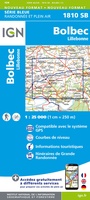 Wandelkaart - Topografische kaart 1810 SB - Serie Bleue Bolbec | IGN - Institut Géographique National
 Wandelkaart - Topografische kaart 1811OT Pont Audemer Tancarville | IGN - Institut Géographique National★★★★★
 Wandelkaart - Topografische kaart 1812 SB - Serie Bleue Brionne – Cormeilles | IGN - Institut Géographique National
 Wandelkaart - Topografische kaart 1813 SB - Serie Bleue Bernay - Orbec | IGN - Institut Géographique National
 Wandelkaart - Topografische kaart 1814 SB - Serie Bleue Rugles – La Ferté-Frênel | IGN - Institut Géographique National
 Wandelkaart - Topografische kaart 1815 SB - Serie Bleue L'Aigle - Ste-Gauburge - Ste Colombe | IGN - Institut Géographique National
 Wandelkaart - Topografische kaart 1816 SB - Serie Bleue Mortagne-au-Perche - Mêle-sur-Sarthe | IGN - Institut Géographique National
 Wandelkaart - Topografische kaart 1818 SB - Serie Bleue La Ferté-Bernard | IGN - Institut Géographique National
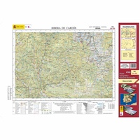 Topografische kaart 182 MT50 Rivera de Cardós | CNIG - Instituto Geográfico Nacional1
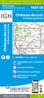 Wandelkaart - Topografische kaart 1820 SB - Serie Bleue Château-du-Loir- La Chartre-sur-Loir | IGN - Institut Géographique National★★★★★
 Wandelkaart - Topografische kaart 1821 SB - Serie Bleue Château-du-Loir, Neuillé-Pont-Pierre | IGN - Institut Géographique National
 Wandelkaart - Topografische kaart 1822 SB - Serie Bleue Tours - Langeais | IGN - Institut Géographique National
 Topografische kaart - Wandelkaart 1823 SB - Serie Bleue Chambray-les-Tours | IGN - Institut Géographique National
 Wandelkaart - Topografische kaart 1824 SB - Serie Bleue Sainte-Maure-de-Touraine, L'Ile Bouchard | IGN - Institut Géographique National
 Wandelkaart - Topografische kaart 1825 SB - Serie Bleue Chatellerault - Descartes | IGN - Institut Géographique National
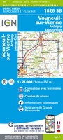 Wandelkaart - Topografische kaart 1826 SB - Serie Bleue Vouneuil-sur-Vienne, Archigny, Jaunay-Clan | IGN - Institut Géographique National
 Wandelkaart - Topografische kaart 1827 SB - Serie Bleue Poitiers - Chauvigny | IGN - Institut Géographique National
 Wandelkaart - Topografische kaart 1828 SB - Serie Bleue Gençay - Persac | IGN - Institut Géographique National
Laatste reviews

Rother wandelgidsen stellen nooit teleur. Mooie routes, goede opgave kilometers, hoogtemeters en horeca. Een aanrader!
★★★★★ door Anita Geel 13 januari 2026 | Heeft dit artikel gekocht
Mooi boek met prachtige foto’s! Voldoet helemaal aan mijn verwachtingen.
★★★★★ door Hans Eldering 13 januari 2026 | Heeft dit artikel gekocht
het product voldeed aan mijn verwachtingen en was geplastificeerd wat natuurlijk perfect is voor kaart die veel wordt geraadpleegd!
★★★★★ door Peter Lantinga 13 januari 2026 | Heeft dit artikel gekocht
Ik heb de wegenkaart Maleisië aangeschaft om zelf een rondreis per huurauto te kunnen plannen. Deze kaart heeft daar heel goed bij geholpen doordat er …
★★★★★ door M. Rizvi 13 januari 2026 | Heeft dit artikel gekocht