Topografische kaarten - Frankrijk
De kaarten van IGN (kort voor Institute Geographique National), wandelkaarten voor Frankrijk, zijn van een ongekend hoog niveau. Met name de wandelkaarten 1:25.000 vinden wij geweldig: werkelijk alles staat erop, de kaarten bevatten zeer veel details en het kleurgebruik is fantastisch, waardoor alles ook nog eens heel goed leesbaar. Je hoort het: wij zijn fan van deze kaarten!
 Wandelkaart - Topografische kaart 251 La Sarraz | Swisstopo
 Wandelkaart - Topografische kaart 2510 SB - Serie Bleue Chauny - Noyon | IGN - Institut Géographique National
 Wandelkaart - Topografische kaart 2511OT Forêts de Compiègne | IGN - Institut Géographique National★★★★★
 Wandelkaart - Topografische kaart 2512OT Villers-Cotterêts | IGN - Institut Géographique National
 Wandelkaart - Topografische kaart 2513OT Meaux - Vallée de l'Ourcq, Centre | IGN - Institut Géographique National
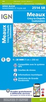 Wandelkaart - Topografische kaart 2514 SB - Serie Bleue Meaux | IGN - Institut Géographique National
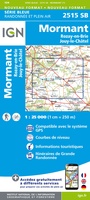 Wandelkaart - Topografische kaart 2515 SB - Serie Bleue Mormant, Rozay-en-Brie, Jouy-le-Châtel | IGN - Institut Géographique National
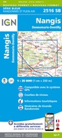 Wandelkaart - Topografische kaart 2516 SB - Serie Bleue Donnemarie-Dontilly, Nangis | IGN - Institut Géographique National
 Wandelkaart - Topografische kaart 2517 SB - Serie Bleue Montereau-Fault-Yonne, Moret-Loing-et-Orvanne | IGN - Institut Géographique National
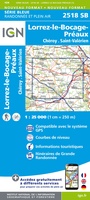 Wandelkaart - Topografische kaart 2518 SB - Serie Bleue Lorrez-le-Bocage-Préaux, Chéroy, St-Valérien | IGN - Institut Géographique National
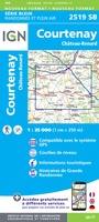 Wandelkaart - Topografische kaart 2519 SB - Serie Bleue Courtenay, Château-Renard | IGN - Institut Géographique National
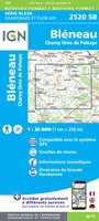 Wandelkaart - Topografische kaart 2520 SB - Serie Bleue Champignelles, Bléneau, Charny Orée de Puisaye | IGN - Institut Géographique National
 Wandelkaart - Topografische kaart 2521 SB - Serie Bleue St-Fargeau, Neuvy-sur-Loire | IGN - Institut Géographique National★★★★★
 Topografische kaart - Wandelkaart 2523 SB - Serie Bleue La Charité-sur-Loire | IGN - Institut Géographique National
 Wandelkaart - Topografische kaart 2524 SB - Serie Bleue Nevers, Jouet-sur-l'Aubois | IGN - Institut Géographique National
 Wandelkaart - Topografische kaart 2525 SB - Serie Bleue La Guerche-sur-l'Aubois, Sancoins, Magny-Cours | IGN - Institut Géographique National
 Topografische kaart - Wandelkaart 2526 SB - Serie Bleue Lurcy-Lévis | IGN - Institut Géographique National
 Wandelkaart - Topografische kaart 2528 SB - Serie Bleue Tronget - Montmarault | IGN - Institut Géographique National
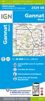 Wandelkaart - Topografische kaart 2529 SB - Serie Bleue Gannat | IGN - Institut Géographique National
 Wandelkaart - Topografische kaart 2531 SB - Serie Bleue Clermont-Ferrand | IGN - Institut Géographique National
Laatste reviews

Op zich een goede kaart, maar het is eigenlijk gewoon een uitvergroting van de bekende 1:200.000-kaarten, dus weinig tot geen extra informatie. Wel wat duidelijker …
★★★★★ door FGM Ballhaus 13 mei 2026 | Heeft dit artikel gekocht
Duidelijke kaart, goed voor fietsen, iets minder voor wandelen door de schaal, maar er is heel weinig kaartmateriaal voor dit gebied dus daarom toch dik …
★★★★★ door FGM Ballhaus 13 mei 2026 | Heeft dit artikel gekocht
Fietskaart is een goede aanvulling op de Nederlandse fietskaarten, laat de Achterhoek zien maar ook een heel stuk Duitsland in (naar het oosten). Kwalitatief ook …
★★★★★ door FGM Ballhaus 13 mei 2026 | Heeft dit artikel gekocht
Keurig verpakt, snel verzonden. Boek voldoet aan mijn verwachtingen!
★★★★★ door Beatrice 12 mei 2026 | Heeft dit artikel gekocht