Topografische kaarten - Frankrijk
De kaarten van IGN (kort voor Institute Geographique National), wandelkaarten voor Frankrijk, zijn van een ongekend hoog niveau. Met name de wandelkaarten 1:25.000 vinden wij geweldig: werkelijk alles staat erop, de kaarten bevatten zeer veel details en het kleurgebruik is fantastisch, waardoor alles ook nog eens heel goed leesbaar. Je hoort het: wij zijn fan van deze kaarten!
 Wandelkaart - Topografische kaart 2933ET Massif du Pilat - St-Etienne - St-Chamond - PNR du Pilat Ardéche | IGN - Institut Géographique National
 Wandelkaart - Topografische kaart 2934ET Bourg-Argental - Col de la République - PNR du Pilat Ardéche | IGN - Institut Géographique National
 Topografische kaart - Wandelkaart 2936 SB - Serie Bleue le Cheylard | IGN - Institut Géographique National★★★★★
 Wandelkaart - Topografische kaart 2937OT Privas – Vals-les-Bains | IGN - Institut Géographique National
 Wandelkaart - Topografische kaart 2938 SB - Serie Bleue Largentière, Aubenas, Villeneuve-de-Berg | IGN - Institut Géographique National★★★★★
 Wandelkaart - Topografische kaart 2939OT Gorges de l'Ardèche | IGN - Institut Géographique National★★★★★
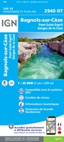 Wandelkaart - Topografische kaart 2940OT Bagnols-sur-Cèze | IGN - Institut Géographique National
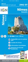 Wandelkaart - Topografische kaart 2942OT Nîmes | IGN - Institut Géographique National
 Wandelkaart - Topografische kaart 2943ET Arles | IGN - Institut Géographique National
 Wandelkaart - Topografische kaart 2944OT Saintes-Maries-de-la-Mer | IGN - Institut Géographique National
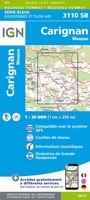 Wandelkaart - Topografische kaart 3110 SB - Serie Bleue Carignan | IGN - Institut Géographique National★★★★★
 Wandelkaart - Topografische kaart 3111 SB - Serie Bleue Stenay | IGN - Institut Géographique National
 Wandelkaart - Topografische kaart 3112ET Forêts de Verdun et du Mort-Homme | IGN - Institut Géographique National★★★★★
 Wandelkaart - Topografische kaart 3113 SB - Serie Bleue Clermont-en-Argonne | IGN - Institut Géographique National
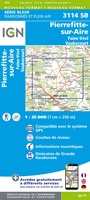 Wandelkaart - Topografische kaart 3114 SB - Serie Bleue Pierrefitte-sur-Aire | IGN - Institut Géographique National
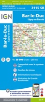 Wandelkaart - Topografische kaart 3115 SB - Serie Bleue Bar-le-Duc | IGN - Institut Géographique National
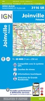 Wandelkaart - Topografische kaart 3116 SB - Serie Bleue Joinville | IGN - Institut Géographique National★★★★★
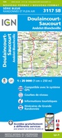 Wandelkaart - Topografische kaart 3117 SB - Serie Bleue Doulaincourt, Saucourt, Andelot-Blancheville | IGN - Institut Géographique National
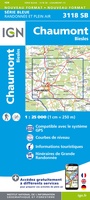 Wandelkaart - Topografische kaart 3118 SB - Serie Bleue Chaumont, Biesles | IGN - Institut Géographique National
 Topografische kaart - Wandelkaart 3119 SB - Serie Bleue Nogent | IGN - Institut Géographique National
Laatste reviews

Rother wandelgidsen stellen nooit teleur. Mooie routes, goede opgave kilometers, hoogtemeters en horeca. Een aanrader!
★★★★★ door Anita Geel 13 januari 2026 | Heeft dit artikel gekocht
Mooi boek met prachtige foto’s! Voldoet helemaal aan mijn verwachtingen.
★★★★★ door Hans Eldering 13 januari 2026 | Heeft dit artikel gekocht
het product voldeed aan mijn verwachtingen en was geplastificeerd wat natuurlijk perfect is voor kaart die veel wordt geraadpleegd!
★★★★★ door Peter Lantinga 13 januari 2026 | Heeft dit artikel gekocht
Ik heb de wegenkaart Maleisië aangeschaft om zelf een rondreis per huurauto te kunnen plannen. Deze kaart heeft daar heel goed bij geholpen doordat er …
★★★★★ door M. Rizvi 13 januari 2026 | Heeft dit artikel gekocht