Topografische kaarten - Frankrijk
De kaarten van IGN (kort voor Institute Geographique National), wandelkaarten voor Frankrijk, zijn van een ongekend hoog niveau. Met name de wandelkaarten 1:25.000 vinden wij geweldig: werkelijk alles staat erop, de kaarten bevatten zeer veel details en het kleurgebruik is fantastisch, waardoor alles ook nog eens heel goed leesbaar. Je hoort het: wij zijn fan van deze kaarten!
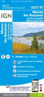 Wandelkaart - Topografische kaart 3327ET Morez - les Rousses | IGN - Institut Géographique National★★★★★★★★★★
 Topografische kaart - Wandelkaart 3327OT St-Claude / Lac de Vouglans / PNR du Haut Jura | IGN - Institut Géographique National★★★★★
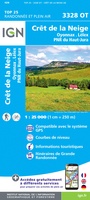 Wandelkaart - Topografische kaart 3328OT Crêt de la Neige | IGN - Institut Géographique National
 Wandelkaart - Topografische kaart 3330OT Bellegarde-sur-Valserine | IGN - Institut Géographique National
 Wandelkaart - Topografische kaart 3332OT Chambéry - Aix-les-Bains | IGN - Institut Géographique National
 Wandelkaart - Topografische kaart 3333OT Massif de la Chartreuse Nord | IGN - Institut Géographique National★★★★★★★★★★
 Wandelkaart - Topografische kaart 3334OT Massif de la Chartreuse Sud | IGN - Institut Géographique National★★★★★
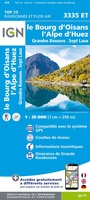 Wandelkaart - Topografische kaart 3335ET le Bourg d'Oisans - l'Alpe d'Huez | IGN - Institut Géographique National★★★★★
 Wandelkaart - Topografische kaart 3335OT Grenoble | IGN - Institut Géographique National★★★★★
 Wandelkaart - Topografische kaart 3336ET Les Deux Alpes | IGN - Institut Géographique National★★★★★
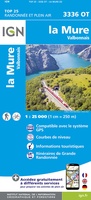 Wandelkaart - Topografische kaart 3336OT La Mure | IGN - Institut Géographique National★★★★★
 Wandelkaart - Topografische kaart 3337OT Dévoluy | IGN - Institut Géographique National★★★★★★★★★★
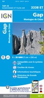 Wandelkaart - Topografische kaart 3338ET Gap | IGN - Institut Géographique National★★★★★
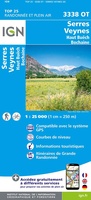 Wandelkaart - Topografische kaart 3338OT Serres - Veynes | IGN - Institut Géographique National
 Wandelkaart - Topografische kaart 3339ET la Motte-du-Caire | IGN - Institut Géographique National
 Wandelkaart - Topografische kaart 3340ET Digne-les-Bains | IGN - Institut Géographique National
 Wandelkaart - Topografische kaart 3341OT Montagne de Lure | IGN - Institut Géographique National
 Wandelkaart - Topografische kaart 3342ET Plateau de Valensole | IGN - Institut Géographique National
 Wandelkaart - Topografische kaart 3342OT Manosque - Forcalquier | IGN - Institut Géographique National
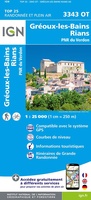 Wandelkaart - Topografische kaart 3343OT Gréoux-les-Bains - Rians | IGN - Institut Géographique National
Laatste reviews

Gemakkelijk opzoeken en mooie kaarten
★★★★★ door Til Palm 09 januari 2026 | Heeft dit artikel gekocht
Namaqualand en West Coast zijn de delen van Zuid-Afrika om in het voorjaar te bezoeken om te genieten van de uitbundige bloemenpracht die uitbarst na …
★★★★★ door Jan de Graaf 09 januari 2026 | Heeft dit artikel gekocht
Echt prachtig boek, uniek mag ik wel zeggen. Als cadeau gegeven aan onze vriend. Een super gaaf ‘tafelboek’ . We hebben er ook en standaard …
★★★★★ door Visser 08 januari 2026 | Heeft dit artikel gekocht
Wegens winter kunnen we het nog niet in de praktijk proberen, maar al enorm veel voorpret bij het lezen van deze prachtige wandelgids van de …
★★★★★ door Charlotte 08 januari 2026 | Heeft dit artikel gekocht