Topografische kaarten - Frankrijk
De kaarten van IGN (kort voor Institute Geographique National), wandelkaarten voor Frankrijk, zijn van een ongekend hoog niveau. Met name de wandelkaarten 1:25.000 vinden wij geweldig: werkelijk alles staat erop, de kaarten bevatten zeer veel details en het kleurgebruik is fantastisch, waardoor alles ook nog eens heel goed leesbaar. Je hoort het: wij zijn fan van deze kaarten!
 Wandelkaart - Topografische kaart 3139OT Nyons - Rémuzat | IGN - Institut Géographique National★★★★★
 Wandelkaart - Topografische kaart 3140ET Mont Ventoux | IGN - Institut Géographique National★★★★★★★★★★
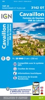 Wandelkaart - Topografische kaart 3142OT Cavaillon | IGN - Institut Géographique National
 Wandelkaart - Topografische kaart 3143ET Aix-en-Provence | IGN - Institut Géographique National
 Wandelkaart - Topografische kaart 3143OT Salon-de-Provence | IGN - Institut Géographique National
 Wandelkaart - Topografische kaart 3144OT Étang de Berre | IGN - Institut Géographique National★★★★★
 Wandelkaart - Topografische kaart 3210 SB - Serie Bleue Longuyon | IGN - Institut Géographique National
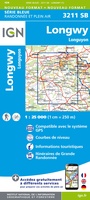 Wandelkaart - Topografische kaart 3211 SB - Serie Bleue Longuyon - Longwy | IGN - Institut Géographique National
 Wandelkaart - Topografische kaart 3212 SB - Serie Bleue Étain | IGN - Institut Géographique National
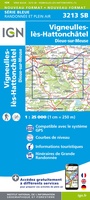 Wandelkaart - Topografische kaart 3213 SB - Serie Bleue Vigneulles-lès-Hattonchâtel | IGN - Institut Géographique National★★★★★
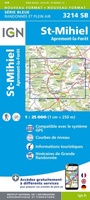 Wandelkaart - Topografische kaart 3214 SB - Serie Bleue St-Mihiel | IGN - Institut Géographique National★★★★★
 Wandelkaart - Topografische kaart 3215 SB - Serie Bleue Commercy | IGN - Institut Géographique National
 Wandelkaart - Topografische kaart 3216 SB - Serie Bleue Gondrecourt-le-Château | IGN - Institut Géographique National
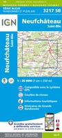 Wandelkaart - Topografische kaart 3217 SB - Serie Bleue Neufchateau, St-Blin | IGN - Institut Géographique National
 Wandelkaart - Topografische kaart 3218 SB - Serie Bleue Bourmont - Clefmont | IGN - Institut Géographique National
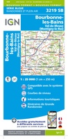 Wandelkaart - Topografische kaart 3219 SB - Serie Bleue Bourbonne-les-Bains - Val-de-Meuse (Montigny-le-Roi) | IGN - Institut Géographique National
 Topografische kaart - Wandelkaart 3220 SB - Serie Bleue Fayl-Billot | IGN - Institut Géographique National★★★★★
 Topografische kaart - Wandelkaart 3221 SB - Serie Bleue Champlitte | IGN - Institut Géographique National
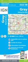 Wandelkaart - Topografische kaart 3222 SB - Serie Bleue Gray - Autrey-lès-Gray | IGN - Institut Géographique National
 Wandelkaart - Topografische kaart 3223 SB - Serie Bleue Pesmes - Gendrey | IGN - Institut Géographique National
Laatste reviews

Snelle levering, prima verpakt, en de atlas van Duitsland is precies wat ik had verwacht, heel erg goed.
★★★★★ door Wil Van der Vlist 01 april 2026 | Heeft dit artikel gekocht
Vlotte service en prima kaart van Slovenie
★★★★★ door Bert van Jaarsveld 31 maart 2026 | Heeft dit artikel gekocht
132 dagen GR20 in het voorjaar en alles zelf meenemen, betekent dat iedere gram telt. Deze kaart geeft een mooi overzicht van de hele route …
★★★★★ door Martin-Jan Strebe 31 maart 2026 | Heeft dit artikel gekocht
Vandaag bijkomen van de Fishermanstrail! Heb het boekje regelmatig erbij gepakt. De route staat duidelijk aangegeven en daarvoor het boek niet nodig. Wat prettig is …
★★★★★ door Inge Hendriks 31 maart 2026 | Heeft dit artikel gekocht