Winkelwagen
Geen items in winkelwagen
Ga naar winkelwagen
Topografische kaarten - Franse Atlantische Kust - Nouvelle-Aquitaine
Overzichtskaarten
-
Topografische kaarten IGN 25.000 Atlantische Kust (Poitou-Charentes): Noord

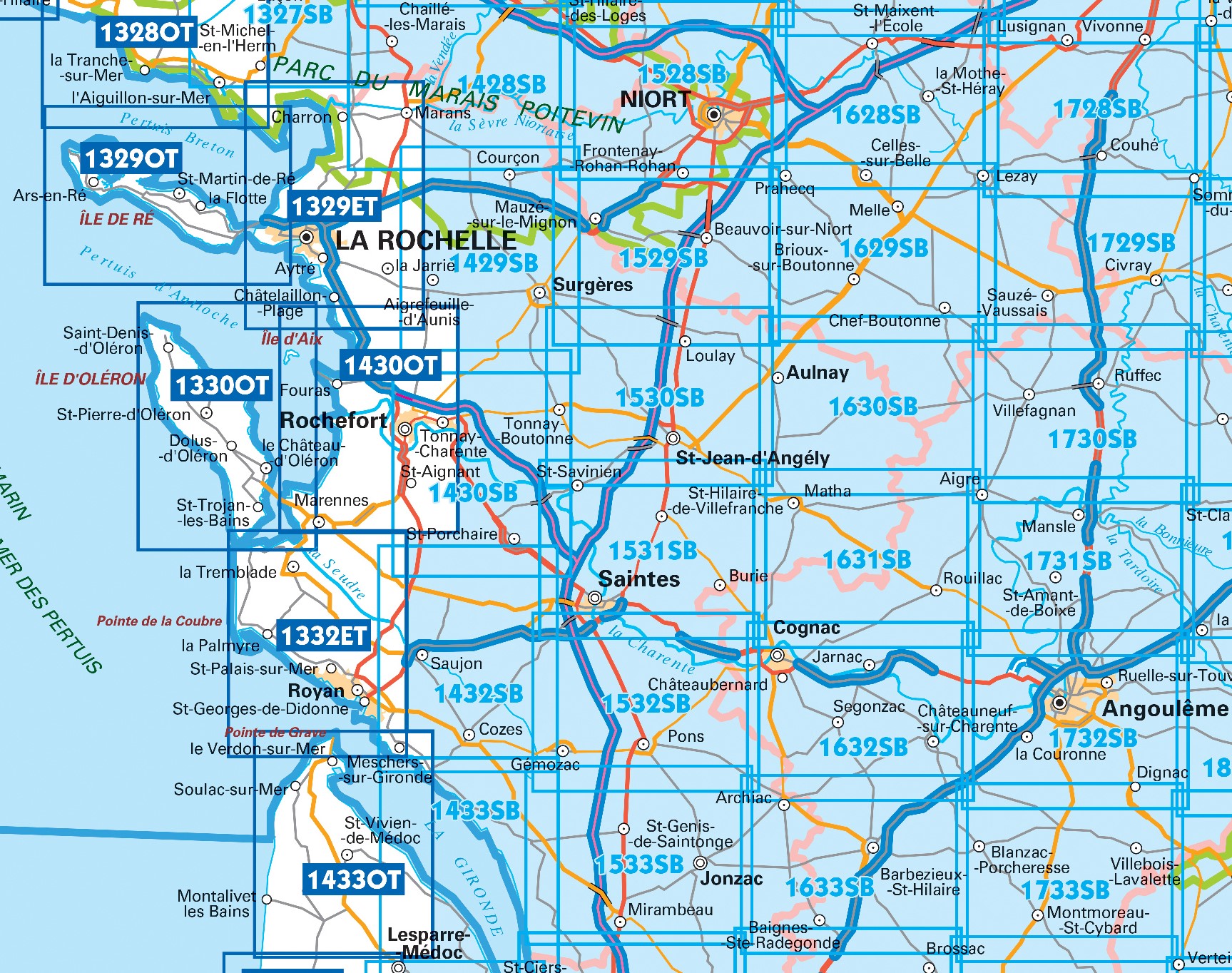
Producten op deze overzichtskaart:
Klik op een product om naar de pagina van dat product te gaan.
- Wandelkaart - Topografische kaart 1329ET La Rochelle - Anse de l'Aiguillon | IGN - Institut Géographique National
- Wandelkaart - Topografische kaart 1329OT Ile De Re | IGN - Institut Géographique National
- Wandelkaart - Topografische kaart 1330OT Ile d'Oleron & Ile d'Aix | IGN - Institut Géographique National
- Wandelkaart - Topografische kaart 1429 SB - Serie Bleue Surgères, Aigrefeuille-d'Aunis | IGN - Institut Géographique National
- Wandelkaart - Topografische kaart 1433 SB - Serie Bleue Lesparre-Médoc | IGN - Institut Géographique National
- Wandelkaart - Topografische kaart 1433OT Soulac-Sur-Mer & Montalivet Pointe De Grave | IGN - Institut Géographique National
- Wandelkaart 1434 SB - Serie Bleue Lesparre-Médoc | IGN - Institut Géographique National
- Wandelkaart - Topografische kaart 1528 SB - Serie Bleue Niort | IGN - Institut Géographique National
- Wandelkaart - Topografische kaart 1529 SB - Serie Bleue Mauzé-sur-le-Mignon, Frontenay-Rohan, Foret de Chize | IGN - Institut Géographique National
- Wandelkaart - Topografische kaart 1530 SB - Serie Bleue Saint-Jean-d'Angély | IGN - Institut Géographique National
- Wandelkaart - Topografische kaart 1531 SB - Serie Bleue Saintes - Burie | IGN - Institut Géographique National
- Wandelkaart - Topografische kaart 1532 SB - Serie Bleue Pons | IGN - Institut Géographique National
- Topografische kaart - Wandelkaart 1533 SB - Serie Bleue Jonzac | IGN - Institut Géographique National
- Wandelkaart - Topografische kaart 1628 SB - Serie Bleue St-Maixent-l'Ecole, Lezay | IGN - Institut Géographique National
- Wandelkaart - Topografische kaart 1629 Melle | IGN - Institut Géographique National
- Wandelkaart - Topografische kaart 1630 SB - Serie Bleue Aulnay | IGN - Institut Géographique National
- Wandelkaart - Topografische kaart 1631 SB - Serie Bleue Matha | IGN - Institut Géographique National
- Wandelkaart - Topografische kaart 1632 SB - Serie Bleue Cognac | IGN - Institut Géographique National
- Wandelkaart - Topografische kaart 1633 SB - Serie Bleue Barbezieux-Saint-Hilaire | IGN - Institut Géographique National
- Wandelkaart - Topografische kaart 1729 SB - Serie Bleue Civray - Sauze - Vaussais | IGN - Institut Géographique National
- Wandelkaart - Topografische kaart 1730 SB - Serie Bleue Ruffec - Villefagnan | IGN - Institut Géographique National
- Wandelkaart - Topografische kaart 1731 SB - Serie Bleue Mansle | IGN - Institut Géographique National
- Wandelkaart - Topografische kaart 1732 SB - Serie Bleue Angoulême, Ruelle-sur-Touvre | IGN - Institut Géographique National
-
Topografische kaarten IGN 25.000 Atlantische Kust (Aquitaine): Zuid
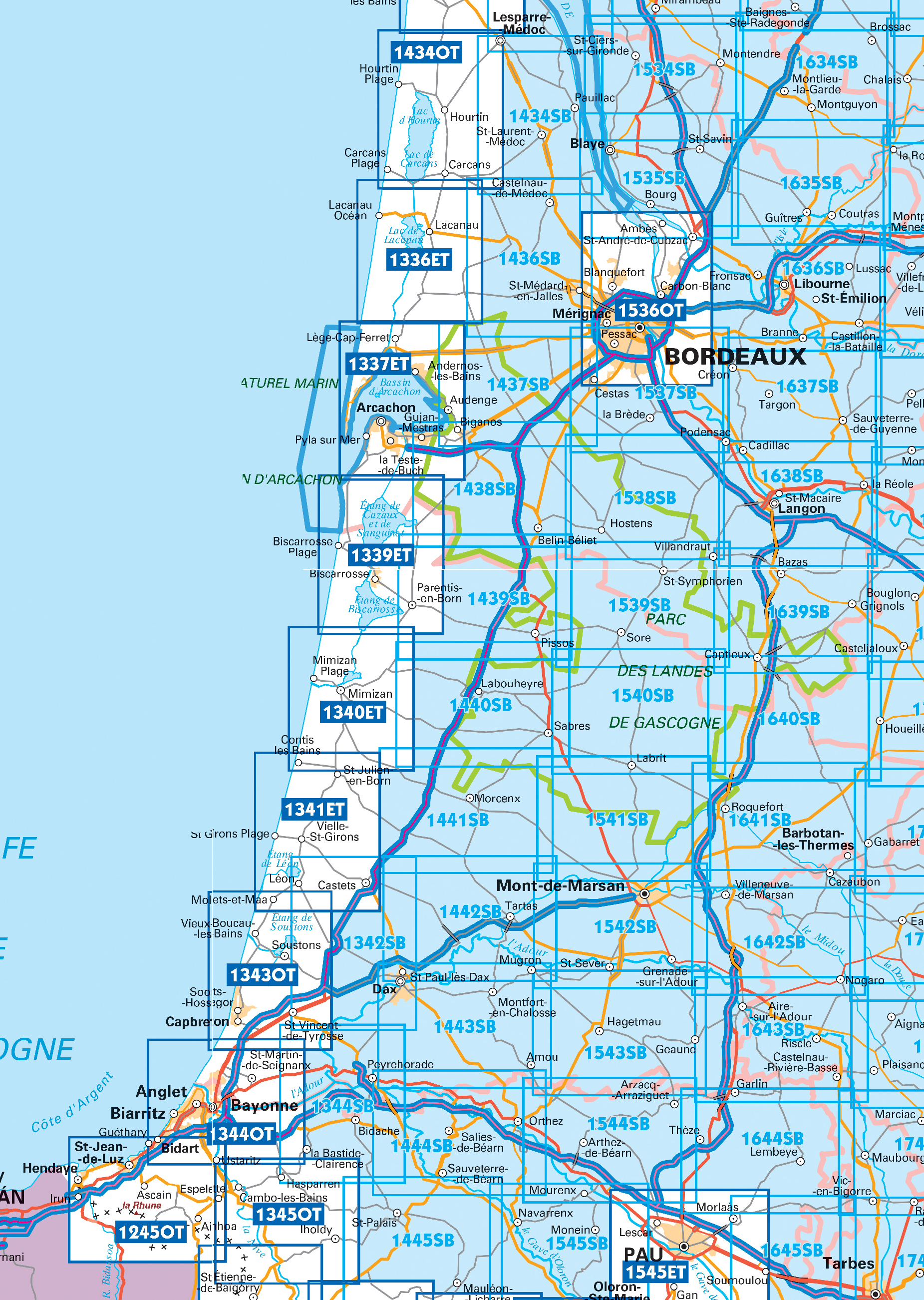
Producten op deze overzichtskaart:
Klik op een product om naar de pagina van dat product te gaan.
- Wandelkaart - Topografische kaart 1336ET Lac de Lacanau & Le Porge | IGN - Institut Géographique National
- Wandelkaart - Topografische kaart 1337ET Bassin D'Arcachon | IGN - Institut Géographique National
- Wandelkaart - Topografische kaart 1339ET Biscarrosse | IGN - Institut Géographique National
- Wandelkaart - Topografische kaart 1342 SB - Serie Bleue Dax | IGN - Institut Géographique National
- Topografische kaart - Wandelkaart 1434OT Hourtin, Lacs d'Hourtin Et De Carcans | IGN - Institut Géographique National
- Wandelkaart - Topografische kaart 1436 SB - Serie Bleue St-Médard-en-Jalles | IGN - Institut Géographique National
- Wandelkaart - Topografische kaart 1437 SB - Serie Bleue Saint-Jean-d'Illac | IGN - Institut Géographique National
- Wandelkaart - Topografische kaart 1438 SB - Serie Bleue Belin-Béliet | IGN - Institut Géographique National
- Wandelkaart - Topografische kaart 1439 SB - Serie Bleue Parentis-en-Born | IGN - Institut Géographique National
- Wandelkaart - Topografische kaart 1440 SB - Serie Bleue Labouheyre | IGN - Institut Géographique National
- Wandelkaart - Topografische kaart 1441 SB - Serie Bleue Morcenx | IGN - Institut Géographique National
- Wandelkaart - Topografische kaart 1442 SB - Serie Bleue Tartas, Pontonx-sur-l'Adour | IGN - Institut Géographique National
- Topografische kaart - Wandelkaart 1534 SB - Serie Bleue Montendre, St-Ciers-sur-Girond | IGN - Institut Géographique National
- Wandelkaart - Topografische kaart 1535 SB - Serie Bleue Blaye | IGN - Institut Géographique National
- Topografische kaart - Wandelkaart 1537 SB - Serie Bleue Pessac | IGN - Institut Géographique National
- Wandelkaart - Topografische kaart 1538 SB - Serie Bleue Landiras | IGN - Institut Géographique National
- Wandelkaart - Topografische kaart 1539 SB - Serie Bleue St-Symphorien | IGN - Institut Géographique National
- Wandelkaart - Topografische kaart 1540 SB - Serie Bleue Labrit | IGN - Institut Géographique National
- Wandelkaart - Topografische kaart 1634 SB - Serie Bleue Brossac - Montguyon | IGN - Institut Géographique National
- Wandelkaart - Topografische kaart 1635 SB - Serie Bleue Guîtres - Coutras | IGN - Institut Géographique National
- Wandelkaart - Topografische kaart 1636 SB - Serie Bleue Libourne, Saint-Emilion | IGN - Institut Géographique National
- Wandelkaart - Topografische kaart 1637 SB - Serie Bleue Podensac | IGN - Institut Géographique National
- Topografische kaart - Wandelkaart 1638 La Réole - Langon | IGN - Institut Géographique National
- Wandelkaart - Topografische kaart 1639 SB - Serie Bleue Grignols - Bazas | IGN - Institut Géographique National
- Wandelkaart - Topografische kaart 1640 SB - Serie Bleue Losse | IGN - Institut Géographique National
 Wandelkaart - Topografische kaart 1636 SB - Serie Bleue Libourne, Saint-Emilion | IGN - Institut Géographique National★★★★★
 Wandelkaart - Topografische kaart 1637 SB - Serie Bleue Podensac | IGN - Institut Géographique National
 Topografische kaart - Wandelkaart 1638 La Réole - Langon | IGN - Institut Géographique National
 Wandelkaart - Topografische kaart 1639 SB - Serie Bleue Grignols - Bazas | IGN - Institut Géographique National
 Wandelkaart - Topografische kaart 1640 SB - Serie Bleue Losse | IGN - Institut Géographique National
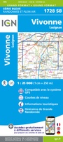 Wandelkaart - Topografische kaart 1728 SB - Serie Bleue Vivonne - Lusignan | IGN - Institut Géographique National
 Wandelkaart - Topografische kaart 1729 SB - Serie Bleue Civray - Sauze - Vaussais | IGN - Institut Géographique National
 Wandelkaart - Topografische kaart 1730 SB - Serie Bleue Ruffec - Villefagnan | IGN - Institut Géographique National
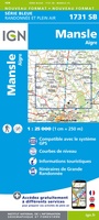 Wandelkaart - Topografische kaart 1731 SB - Serie Bleue Mansle | IGN - Institut Géographique National
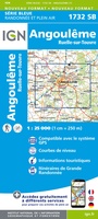 Wandelkaart - Topografische kaart 1732 SB - Serie Bleue Angoulême, Ruelle-sur-Touvre | IGN - Institut Géographique National
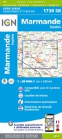 Wandelkaart - Topografische kaart 1738 SB - Serie Bleue Marmande - Seyches | IGN - Institut Géographique National
 Wandelkaart - Topografische kaart 1827 SB - Serie Bleue Poitiers - Chauvigny | IGN - Institut Géographique National
Laatste reviews

Goede kaart, maar weinig meerwaarde boven de 1:200.000-kaart
Op zich een goede kaart, maar het is eigenlijk gewoon een uitvergroting van de bekende 1:200.000-kaarten, dus weinig tot geen extra informatie. Wel wat duidelijker …
★★★★★ door FGM Ballhaus 13 mei 2026 | Heeft dit artikel gekocht
Iets te grote schaal voor wandelen, maar verder een goede kaart voor wandelen en fietsen
Duidelijke kaart, goed voor fietsen, iets minder voor wandelen door de schaal, maar er is heel weinig kaartmateriaal voor dit gebied dus daarom toch dik …
★★★★★ door FGM Ballhaus 13 mei 2026 | Heeft dit artikel gekocht
Goede fietskaart voor nét over de grens
Fietskaart is een goede aanvulling op de Nederlandse fietskaarten, laat de Achterhoek zien maar ook een heel stuk Duitsland in (naar het oosten). Kwalitatief ook …
★★★★★ door FGM Ballhaus 13 mei 2026 | Heeft dit artikel gekocht
Leuk informatief boek, precieze route goed weergegeven.
Keurig verpakt, snel verzonden. Boek voldoet aan mijn verwachtingen!
★★★★★ door Beatrice 12 mei 2026 | Heeft dit artikel gekocht