Winkelwagen
Geen items in winkelwagen
Ga naar winkelwagen
Topografische kaarten - Rhône-Alpes
 Wandelkaart - Topografische kaart 3133 SB - Serie Bleue La Côte-St-André – St-Jean-de-Bournay | IGN - Institut Géographique National
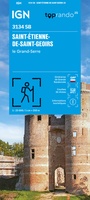 Topografische kaart - Wandelkaart 3134 SB - Serie Bleue St-Etienne-de-St-Geoirs / Le Grand-Serre | IGN - Institut Géographique National
 Topografische kaart - Wandelkaart 3135 Romans-sur-Isère, St-Marcellin | IGN - Institut Géographique National
 Wandelkaart - Topografische kaart 3137OT Die – Crest – Saillans | IGN - Institut Géographique National★★★★★
 Wandelkaart - Topografische kaart 3138OT Dieulefit | IGN - Institut Géographique National★★★★★
 Wandelkaart - Topografische kaart 3139OT Nyons - Rémuzat | IGN - Institut Géographique National★★★★★
 Wandelkaart - Topografische kaart 3140ET Mont Ventoux | IGN - Institut Géographique National★★★★★★★★★★
 Wandelkaart - Topografische kaart 3227OT Saint Amour | IGN - Institut Géographique National
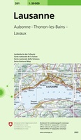 Wandelkaart - Topografische kaart 261 Lausanne | Swisstopo
 Wandelkaart - Topografische kaart 270 Genève | Swisstopo
 Wandelkaart - Topografische kaart 271 Chablais | Swisstopo
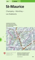 Wandelkaart - Topografische kaart 272 St-Maurice | Swisstopo
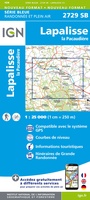 Wandelkaart - Topografische kaart 2729 SB - Serie Bleue Lapalisse | IGN - Institut Géographique National
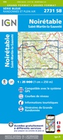 Wandelkaart - Topografische kaart 2731 SB - Serie Bleue Noirétable | IGN - Institut Géographique National
 Wandelkaart - Topografische kaart 2732 SB - Serie Bleue Ambert | IGN - Institut Géographique National
 Wandelkaart - Topografische kaart 2733 SB - Serie Bleue St-Anthème, Arlanc | IGN - Institut Géographique National
 Wandelkaart - Topografische kaart 2735 SB - Serie Bleue Loudes, Le Puy-en-Velay | IGN - Institut Géographique National
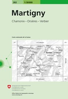 Wandelkaart - Topografische kaart 282 Martigny | Swisstopo
 Wandelkaart - Topografische kaart 2829 SB - Serie Bleue Charlieu – Chauffailles | IGN - Institut Géographique National
 Wandelkaart - Topografische kaart 2830 SB - Serie Bleue Roanne – Thizy-les-Bourgs | IGN - Institut Géographique National
Laatste reviews

Top gids met alle benodigde informatie.
Prachtige wandelgids voorzien van alle voor de wandelaars benodigde informatie (accommodaties, restaurants en cafés, vervoersmogelijkheden enz.). Ook is de gids beschreven in twee richtingen en …
★★★★★ door Mathie Hoenjet 27 juni 2026 | Heeft dit artikel gekocht
snel bezorgd
Zoals altijd duidelijke en overzichtelijke kaart van Michelin
★★★★★ door Charles Trippelvitz 26 juni 2026 | Heeft dit artikel gekocht
Het was heel leuk om de Vennbahn te fietsen aan de hand van deze handige gids!
Door deze gids konden we ons heel goed voorbereiden op onze fietstocht. En het gebruik onderweg was ook prima. Jammer dat de campings onderweg wat …
★★★★★ door Helma Feenstra 26 juni 2026 | Heeft dit artikel gekocht
Simpele keuze ondersteuning op website en hele snelle levering
Kort voor vakantie naar de Galapagos eilanden toch nog behoefte aan extra reisgids. Simpel kunnen bestellen en snelle levering. Zou niet weten wat er beter …
★★★★★ door Piet Grootenboer 25 juni 2026 | Heeft dit artikel gekocht