Winkelwagen
Geen items in winkelwagen
Ga naar winkelwagen
Topografische kaarten - Alpen - Mont Blanc - Haute Savoie
Overzichtskaarten
-
Topografische kaarten IGN 25.000 Haute Savoie - Mont Blanc
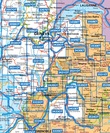
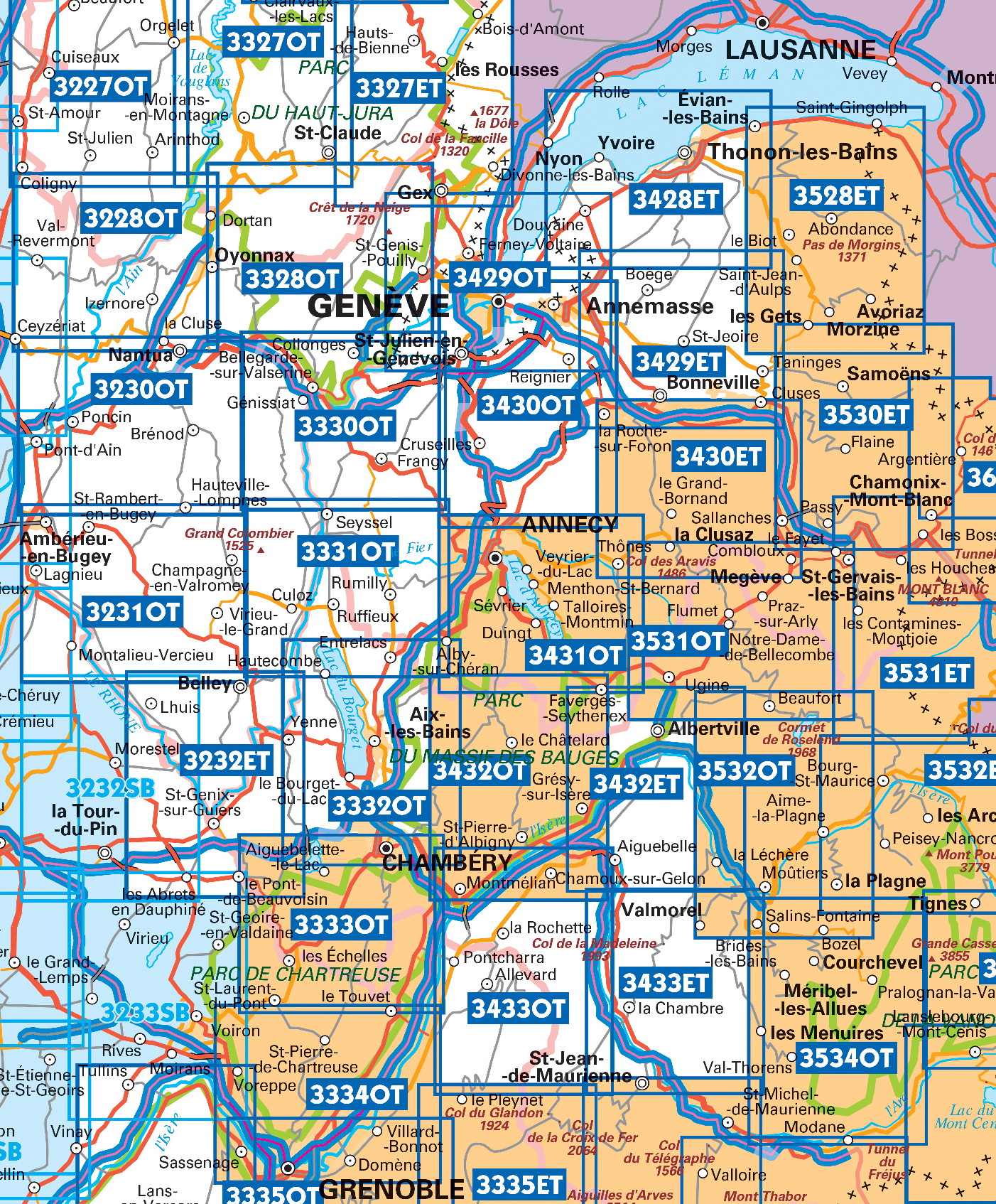
Producten op deze overzichtskaart:
Klik op een product om naar de pagina van dat product te gaan.
- Wandelkaart - Topografische kaart 3230OT Nantua - Hauteville-Lompnes - Nord Bugey | IGN - Institut Géographique National
- Wandelkaart - Topografische kaart 3231OT Ambérieu-en-Bugey | IGN - Institut Géographique National
- Wandelkaart - Topografische kaart 3232 SB - Serie Bleue la Tour-du-Pin | IGN - Institut Géographique National
- Wandelkaart - Topografische kaart 3330OT Bellegarde-sur-Valserine | IGN - Institut Géographique National
- Wandelkaart - Topografische kaart 3332OT Chambéry - Aix-les-Bains | IGN - Institut Géographique National
- Wandelkaart - Topografische kaart 3428ET Thonon les Bains - Évian les Bains | IGN - Institut Géographique National
- Wandelkaart - Topografische kaart 3429ET Bonneville | IGN - Institut Géographique National
- Wandelkaart - Topografische kaart 3429OT Geneve | IGN - Institut Géographique National
- Wandelkaart - Topografische kaart 3430ET La Clusaz - le Grand-Bornand | IGN - Institut Géographique National
- Wandelkaart - Topografische kaart 3430OT Mont Salève | IGN - Institut Géographique National
- Wandelkaart - Topografische kaart 3431OT Lac d'Annecy | IGN - Institut Géographique National
- Wandelkaart - Topografische kaart 3432ET Albertville | IGN - Institut Géographique National
- Wandelkaart - Topografische kaart 3432OT Massif des Bauges | IGN - Institut Géographique National
- Wandelkaart - Topografische kaart 3432OTR Massif des Bauges | IGN - Institut Géographique National
- Wandelkaart - Topografische kaart 3528ET Morzine | IGN - Institut Géographique National
- Wandelkaart - Topografische kaart 3528ETR Morzine | IGN - Institut Géographique National
- Wandelkaart - Topografische kaart 3530ET Samoëns | IGN - Institut Géographique National
- Wandelkaart - Topografische kaart 3531ET Saint-Gervais-les-Bains | IGN - Institut Géographique National
- Wandelkaart - Topografische kaart 3531OT Megève | IGN - Institut Géographique National
- Wandelkaart - Topografische kaart 3532OT Massif du Beaufortain | IGN - Institut Géographique National
- Wandelkaart - Topografische kaart 3630OT Chamonix-Mont-Blanc | IGN - Institut Géographique National
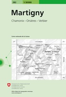 Wandelkaart - Topografische kaart 282 Martigny | Swisstopo
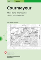 Wandelkaart - Topografische kaart 292 Courmayeur | Swisstopo
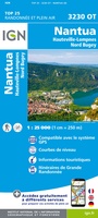 Wandelkaart - Topografische kaart 3230OT Nantua - Hauteville-Lompnes - Nord Bugey | IGN - Institut Géographique National
 Wandelkaart - Topografische kaart 3231OT Ambérieu-en-Bugey | IGN - Institut Géographique National
 Wandelkaart - Topografische kaart 3232 SB - Serie Bleue la Tour-du-Pin | IGN - Institut Géographique National
 Wandelkaart - Topografische kaart 3232ET Belley | IGN - Institut Géographique National
 Wandelkaart - Topografische kaart 3330OT Bellegarde-sur-Valserine | IGN - Institut Géographique National
 Wandelkaart - Topografische kaart 3332OT Chambéry - Aix-les-Bains | IGN - Institut Géographique National
 Wandelkaart - Topografische kaart 3428ET Thonon les Bains - Évian les Bains | IGN - Institut Géographique National
 Wandelkaart - Topografische kaart 3429ET Bonneville | IGN - Institut Géographique National
 Wandelkaart - Topografische kaart 3429OT Geneve | IGN - Institut Géographique National
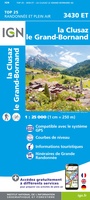 Wandelkaart - Topografische kaart 3430ET La Clusaz - le Grand-Bornand | IGN - Institut Géographique National★★★★★
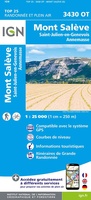 Wandelkaart - Topografische kaart 3430OT Mont Salève | IGN - Institut Géographique National
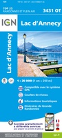 Wandelkaart - Topografische kaart 3431OT Lac d'Annecy | IGN - Institut Géographique National★★★★★
 Wandelkaart - Topografische kaart 3432ET Albertville | IGN - Institut Géographique National
 Wandelkaart - Topografische kaart 3432OT Massif des Bauges | IGN - Institut Géographique National
 Wandelkaart - Topografische kaart 3433OT Allevard | IGN - Institut Géographique National
 Wandelkaart - Topografische kaart 261 Lausanne | Swisstopo
 Wandelkaart - Topografische kaart 270 Genève | Swisstopo
 Wandelkaart - Topografische kaart 271 Chablais | Swisstopo
Laatste reviews

Prima kaart, snel geleverd
Zoals altijd snel geleverd, prima kaart voor de 3 à 4 daagse randonnee dents du midi.
★★★★★ door Kees wim Van den Herik 28 maart 2026 | Heeft dit artikel gekocht
Gedetailleede kaart
Prima kaart, alleen eeg gedetailleerd en niet voorzien van gemarkeerde wandelroutes en hutten. Zoals de beschrijving al aangeeft is deze niet zo geschikt als wandelkaart …
★★★★★ door Kees wim Van den Herik 28 maart 2026 | Heeft dit artikel gekocht
Mooi
Heel erg dankbaar
★★★★★ door Marc 27 maart 2026 | Heeft dit artikel gekocht
Prima fietskaart
Ik denk dat ik met deze fietskaart prima uit de voeten kan. Maar dat weet ik pas na de zomer.
★★★★★ door Prins 27 maart 2026 | Heeft dit artikel gekocht