Winkelwagen
Geen items in winkelwagen
Ga naar winkelwagen
Topografische kaarten - Hauts-de-France
 Wandelkaart - Topografische kaart 2808 SB - Serie Bleue Hirson - Fourmies | IGN - Institut Géographique National
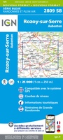 Wandelkaart - Topografische kaart 2809 SB - Serie Bleue Rozoy-sur-Serre - Aubenton | IGN - Institut Géographique National★★★★★
 Wandelkaart - Topografische kaart 2810 SB - Serie Bleue Château-Porcien, Dizy-le-Gros | IGN - Institut Géographique National
 Wandelkaart - Topografische kaart 2811 SB - Serie Bleue Bazancourt - Guignicourt - Asfeld | IGN - Institut Géographique National
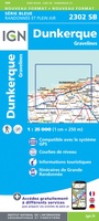 Topografische kaart - Wandelkaart 2302 SB - Serie Bleue Dunkerque - Gravelines | IGN - Institut Géographique National
 Wandelkaart - Topografische kaart 2307 SB - Serie Bleue Doullens - Beauval | IGN - Institut Géographique National★★★★★
 Wandelkaart - Topografische kaart 2308 SB - Serie Bleue Corbie - Amiens | IGN - Institut Géographique National
 Wandelkaart - Topografische kaart 2309 SB - Serie Bleue Moreuil - Saleux | IGN - Institut Géographique National
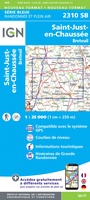 Wandelkaart - Topografische kaart 2310 SB - Serie Bleue Saint-Just-en-Chaussée , Breteuil | IGN - Institut Géographique National
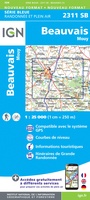 Wandelkaart - Topografische kaart 2311 SB - Serie Bleue Beauvais - Mouy | IGN - Institut Géographique National
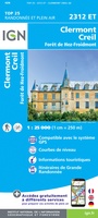 Wandelkaart - Topografische kaart 2312ET Clermont - Creil | IGN - Institut Géographique National
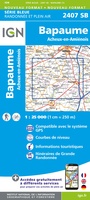 Wandelkaart - Topografische kaart 2407 SB - Serie Bleue Bapaume, Acheux-en-Amiénois | IGN - Institut Géographique National
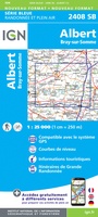 Wandelkaart - Topografische kaart 2408 SB - Serie Bleue Bray-sur-Somme, Albert | IGN - Institut Géographique National
 Wandelkaart - Topografische kaart 2409 SB - Serie Bleue Roye | IGN - Institut Géographique National
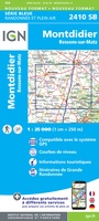 Wandelkaart - Topografische kaart 2410 SB - Serie Bleue Ressons-sur-Matz, Montdidier | IGN - Institut Géographique National
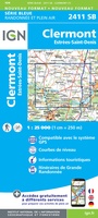 Wandelkaart - Topografische kaart 2411 SB - Serie Bleue Estrées-St-Denis, Clermont | IGN - Institut Géographique National
 Wandelkaart - Topografische kaart 2414ET Marne-la-Vallée - Forêts: Crécy - Armainvilliers - Ferrières, Centre | IGN - Institut Géographique National
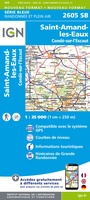 Wandelkaart - Topografische kaart 2605 SB - Serie Bleue Condé-sur-l'Escaut, St-Amand-les-Eaux | IGN - Institut Géographique National
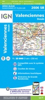 Wandelkaart - Topografische kaart 2606 SB - Serie Bleue Valenciennes - Denain | IGN - Institut Géographique National
 Wandelkaart - Topografische kaart 2608 SB - Serie Bleue Bohain-en-Vermandois, Guise | IGN - Institut Géographique National
Laatste reviews

Fijne stadsplattegrond met duidelijke details
Voor iedere citytrip gebruik ik de stadsplattegronden van Borch. Het is een duidelijke kaart, op goede schaal en fijn dat de kaart geplastificeerd is.
★★★★★ door Mirte 27 februari 2026 | Heeft dit artikel gekocht
Fantastische puzzel
Prachtige puzzel met leuke extra’s, een standaard om de deksel in te zetten. Leuke weetjes over de wijnen aan de binnenkant van de deksel en …
★★★★★ door Angelique de Jonge 26 februari 2026 | Heeft dit artikel gekocht
perfect geleverd en ongeschonden aangekregen
perfect geleverd en ongeschonden aangekregen
★★★★★ door Steven Vansteenkiste 26 februari 2026 | Heeft dit artikel gekocht
Op één kaart de hele operatie overlord op een overzichtelijke en volledige manier weergegegeven .
Kaart erg kwetsbaar in gebruik .
★★★★★ door Ton Rusch 25 februari 2026 | Heeft dit artikel gekocht