Topografische kaarten - Frankrijk
De kaarten van IGN (kort voor Institute Geographique National), wandelkaarten voor Frankrijk, zijn van een ongekend hoog niveau. Met name de wandelkaarten 1:25.000 vinden wij geweldig: werkelijk alles staat erop, de kaarten bevatten zeer veel details en het kleurgebruik is fantastisch, waardoor alles ook nog eens heel goed leesbaar. Je hoort het: wij zijn fan van deze kaarten!
 Wandelkaart - Topografische kaart 1019 SB - Serie Bleue Paimpont - Ploërmel | IGN - Institut Géographique National
 Wandelkaart - Topografische kaart 1020 SB - Serie Bleue Malestroit - Peillac | IGN - Institut Géographique National
 Wandelkaart - Topografische kaart 1021 SB - Serie Bleue Questembert - La Roche-Bernard | IGN - Institut Géographique National
 Wandelkaart - Topografische kaart 1022ET Saint-Nazaire & Parc Naturel Regional de Briere | IGN - Institut Géographique National
 Wandelkaart - Topografische kaart 1022OT La Roche-Bernard & Parc Naturel Regional de Briere | IGN - Institut Géographique National
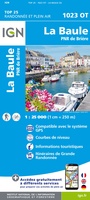 Topografische kaart - Wandelkaart 1023OT La Baule & Parc Naturel Regional de Briere | IGN - Institut Géographique National
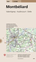 Wandelkaart - Topografische kaart 1064 Montbéliard | Swisstopo
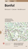 Wandelkaart - Topografische kaart 1065 Bonfol | Swisstopo
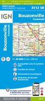 Wandelkaart - Topografische kaart 3512 SB - Serie Bleue Bouzonville | IGN - Institut Géographique National
 Wandelkaart - Topografische kaart 3513 SB - Serie Bleue Saint-Avold / Faulquemont | IGN - Institut Géographique National
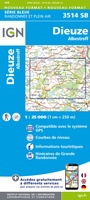 Wandelkaart - Topografische kaart 3514 SB - Serie Bleue Dieuze / Albestroff | IGN - Institut Géographique National
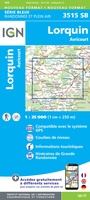 Wandelkaart - Topografische kaart 3515 SB - Serie Bleue Lorquin - Avricourt | IGN - Institut Géographique National
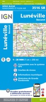 Wandelkaart - Topografische kaart 3516 SB - Serie Bleue Lunéville / Baccarat | IGN - Institut Géographique National
 Wandelkaart - Topografische kaart 3517 SB - Serie Bleue Rambervillers | IGN - Institut Géographique National
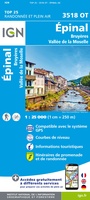 Wandelkaart - Topografische kaart 3518OT Epinal | IGN - Institut Géographique National
 Wandelkaart - Topografische kaart 3519OT Remiremont | IGN - Institut Géographique National★★★★★
 Wandelkaart - Topografische kaart 3520 SB - Serie Bleue Mélisey - Lure | IGN - Institut Géographique National
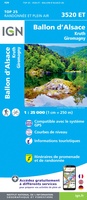 Wandelkaart - Topografische kaart 3520ET Ballon d'Alsace | IGN - Institut Géographique National★★★★★★★★★★
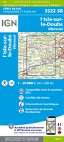 Wandelkaart - Topografische kaart 3522 SB - Serie Bleue L'Isle-sur-le-Doubs, Villersexel | IGN - Institut Géographique National
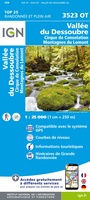 Wandelkaart - Topografische kaart 3523OT Vallee-du-Desoubre | IGN - Institut Géographique National
Laatste reviews

De ontvanger van dit cadeau is er erg blij mee. De Zwerver heeft het mooi naar het cadeaukaarten verstuurd. Er wordt vaak mee gespeeld.
★★★★★ door Carola 26 december 2025 | Heeft dit artikel gekocht
Super gedetailleerde kaart met alle routes en wandelroutes. Ik ben er blij mee.
★★★★★ door Rob 26 december 2025 | Heeft dit artikel gekocht
Zeer gedetaillerd, fijn groot formaat atlas voor reizen met auto of camper. Niet geschikt voor backpackers want groot en vrij zwaar.
★★★★★ door Inge Hens 23 december 2025 | Heeft dit artikel gekocht
Ik heb iemand met Sinterklaas héél blij gemaakt met de kaarten. Hij kon er niet genoeg van krijgen en gaf geregeld aan dat hij verheugd …
★★★★★ door Peet Maessen 23 december 2025 | Heeft dit artikel gekocht