Topografische kaarten - Frankrijk
De kaarten van IGN (kort voor Institute Geographique National), wandelkaarten voor Frankrijk, zijn van een ongekend hoog niveau. Met name de wandelkaarten 1:25.000 vinden wij geweldig: werkelijk alles staat erop, de kaarten bevatten zeer veel details en het kleurgebruik is fantastisch, waardoor alles ook nog eens heel goed leesbaar. Je hoort het: wij zijn fan van deze kaarten!
 Wandelkaart - Topografische kaart 1219 SB - Serie Bleue Bruz - Janzé | IGN - Institut Géographique National
 Wandelkaart - Topografische kaart 1221 SB - Serie Bleue Guémené – Penfao – Nozay | IGN - Institut Géographique National
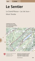 Wandelkaart - Topografische kaart 1221 Le Sentier | Swisstopo
 Wandelkaart - Topografische kaart 1222 SB - Serie Bleue Blain - Nort-sur-Erdre | IGN - Institut Géographique National
 Topografische kaart - Wandelkaart 1223 SB - Serie Bleue Nantes - St Herblain | IGN - Institut Géographique National
 Topografische kaart - Wandelkaart 1224 SB - Serie Bleue St-Philbert-de-Grand-Lieu, Les Sorinières | IGN - Institut Géographique National
 Wandelkaart - Topografische kaart 1225 SB - Serie Bleue Legé | IGN - Institut Géographique National
 Wandelkaart - Topografische kaart 1226 SB - Serie Bleue Le Poiré-sur-Vie, Aizenay, La Mothe-Achard | IGN - Institut Géographique National
 Wandelkaart - Topografische kaart 1227 SB - Serie Bleue Aubigny-les-Clouzeaux | IGN - Institut Géographique National
 Wandelkaart - Topografische kaart 1240 Les Rousses | Swisstopo
 Wandelkaart - Topografische kaart 1241 Marchairuz | Swisstopo
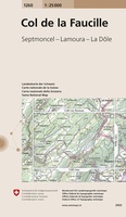 Wandelkaart - Topografische kaart 1260 Col de la Faucille | Swisstopo
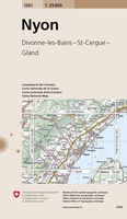 Wandelkaart - Topografische kaart 1261 Nyon | Swisstopo
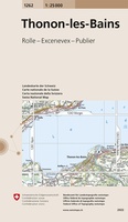 Wandelkaart - Topografische kaart 1262 Thonon-les-Bains | Swisstopo
 Wandelkaart - Topografische kaart 1263 Évian-les-Bains | Swisstopo
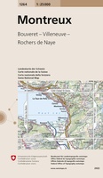 Wandelkaart - Topografische kaart 1264 Montreux | Swisstopo
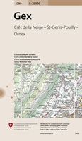 Wandelkaart - Topografische kaart 1280 Gex | Swisstopo
 Wandelkaart - Topografische kaart 1281 Coppet | Swisstopo
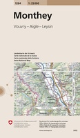 Wandelkaart - Topografische kaart 1284 Monthey | Swisstopo
 Topografische kaart 149 MT50 Salardú | CNIG - Instituto Geográfico Nacional1
Laatste reviews

Op zich een goede kaart, maar het is eigenlijk gewoon een uitvergroting van de bekende 1:200.000-kaarten, dus weinig tot geen extra informatie. Wel wat duidelijker …
★★★★★ door FGM Ballhaus 13 mei 2026 | Heeft dit artikel gekocht
Duidelijke kaart, goed voor fietsen, iets minder voor wandelen door de schaal, maar er is heel weinig kaartmateriaal voor dit gebied dus daarom toch dik …
★★★★★ door FGM Ballhaus 13 mei 2026 | Heeft dit artikel gekocht
Fietskaart is een goede aanvulling op de Nederlandse fietskaarten, laat de Achterhoek zien maar ook een heel stuk Duitsland in (naar het oosten). Kwalitatief ook …
★★★★★ door FGM Ballhaus 13 mei 2026 | Heeft dit artikel gekocht
Keurig verpakt, snel verzonden. Boek voldoet aan mijn verwachtingen!
★★★★★ door Beatrice 12 mei 2026 | Heeft dit artikel gekocht