Topografische kaarten - Frankrijk
De kaarten van IGN (kort voor Institute Geographique National), wandelkaarten voor Frankrijk, zijn van een ongekend hoog niveau. Met name de wandelkaarten 1:25.000 vinden wij geweldig: werkelijk alles staat erop, de kaarten bevatten zeer veel details en het kleurgebruik is fantastisch, waardoor alles ook nog eens heel goed leesbaar. Je hoort het: wij zijn fan van deze kaarten!
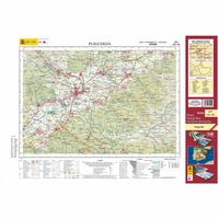 Topografische kaart 217 MT50 Puigcerdá | CNIG - Instituto Geográfico Nacional1
 Topografische kaart 218 MT50 Molló | CNIG - Instituto Geográfico Nacional1
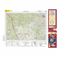 Topografische kaart 220 MT50 Agullana | CNIG - Instituto Geográfico Nacional1
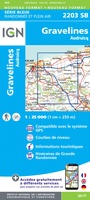 Wandelkaart - Topografische kaart 2203 SB - Serie Bleue Gravelines - Andruicq | IGN - Institut Géographique National
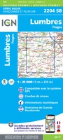 Wandelkaart - Topografische kaart 2204 SB - Serie Bleue Lumbres - Fruges | IGN - Institut Géographique National
 Wandelkaart - Topografische kaart 2206 SB - Serie Bleue Hesdin, Auxi-le-Château | IGN - Institut Géographique National
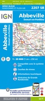 Wandelkaart - Topografische kaart 2207 SB - Serie Bleue Abbeville, Domart-en-Ponthieu | IGN - Institut Géographique National
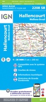 Wandelkaart - Topografische kaart 2208 SB - Serie Bleue Picquigny, Hallencourt, Molliens-Dreuil | IGN - Institut Géographique National
 Wandelkaart - Topografische kaart 2209 SB - Serie Bleue Poix-de-Picardie, Hornoy-le-Bourg | IGN - Institut Géographique National
 Topografische kaart 221 MT50 Portbou | CNIG - Instituto Geográfico Nacional1
 Wandelkaart - Topografische kaart 2210 SB - Serie Bleue Crèvecoeur-le-Grand, Grandvilliers | IGN - Institut Géographique National
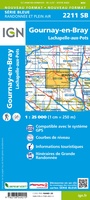 Wandelkaart - Topografische kaart 2211 SB - Serie Bleue Gournay-en-Bray , Lachapelle-aux-Pots | IGN - Institut Géographique National
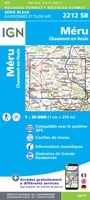 Wandelkaart - Topografische kaart 2212 SB - Serie Bleue Méru, Chaumont-en-Vexin | IGN - Institut Géographique National
 Wandelkaart - Topografische kaart 2214ET Versailles, Forêts de Marly et de St-Germain | IGN - Institut Géographique National
 Wandelkaart - Topografische kaart 2216ET Etampes, Dourdan | IGN - Institut Géographique National
 Wandelkaart - Topografische kaart 2217 SB - Serie Bleue Méréville - Sainville | IGN - Institut Géographique National
 Wandelkaart - Topografische kaart 2218 SB - Serie Bleue Pithiviers, Neuville-aux-Bois, Artenay | IGN - Institut Géographique National
 Wandelkaart - Topografische kaart 2219 SB - Serie Bleue Orléans - Fay aux Loges | IGN - Institut Géographique National
 Wandelkaart - Topografische kaart 222 Clos du Doubs | Swisstopo
 Wandelkaart - Topografische kaart 2220 SB - Serie Bleue Jargeau, Olivet, La Ferté-St-Aubin | IGN - Institut Géographique National
Laatste reviews

Rother wandelgidsen stellen nooit teleur. Mooie routes, goede opgave kilometers, hoogtemeters en horeca. Een aanrader!
★★★★★ door Anita Geel 13 januari 2026 | Heeft dit artikel gekocht
Mooi boek met prachtige foto’s! Voldoet helemaal aan mijn verwachtingen.
★★★★★ door Hans Eldering 13 januari 2026 | Heeft dit artikel gekocht
het product voldeed aan mijn verwachtingen en was geplastificeerd wat natuurlijk perfect is voor kaart die veel wordt geraadpleegd!
★★★★★ door Peter Lantinga 13 januari 2026 | Heeft dit artikel gekocht
Ik heb de wegenkaart Maleisië aangeschaft om zelf een rondreis per huurauto te kunnen plannen. Deze kaart heeft daar heel goed bij geholpen doordat er …
★★★★★ door M. Rizvi 13 januari 2026 | Heeft dit artikel gekocht