Topografische kaarten - Frankrijk
De kaarten van IGN (kort voor Institute Geographique National), wandelkaarten voor Frankrijk, zijn van een ongekend hoog niveau. Met name de wandelkaarten 1:25.000 vinden wij geweldig: werkelijk alles staat erop, de kaarten bevatten zeer veel details en het kleurgebruik is fantastisch, waardoor alles ook nog eens heel goed leesbaar. Je hoort het: wij zijn fan van deze kaarten!
 Wandelkaart - Topografische kaart 2132 SB - Serie Bleue Châteauneuf-la-Forêt, Chamberet | IGN - Institut Géographique National
 Wandelkaart - Topografische kaart 2133 SB - Serie Bleue Uzerche, Treignac, Seilhac | IGN - Institut Géographique National
 Wandelkaart - Topografische kaart 2134 SB - Serie Bleue Tulle | IGN - Institut Géographique National
 Wandelkaart - Topografische kaart 2135 SB - Serie Bleue Beynat, Meyssac, Collonges-la-Rouge, Brive-la-Gaillarde | IGN - Institut Géographique National
 Wandelkaart - Topografische kaart 2137 SB - Serie Bleue Gramat | IGN - Institut Géographique National
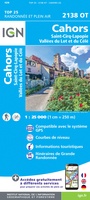 Wandelkaart - Topografische kaart 2138OT Cahors | IGN - Institut Géographique National★★★★★
 Wandelkaart - Topografische kaart 2139 SB - Serie Bleue Cahors | IGN - Institut Géographique National
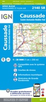 Wandelkaart - Topografische kaart 2140 SB - Serie Bleue Caussade | IGN - Institut Géographique National
 Wandelkaart - Topografische kaart 2141 SB - Serie Bleue Nègrepelisse | IGN - Institut Géographique National★★★★★
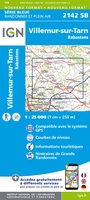 Wandelkaart - Topografische kaart 2142 SB - Serie Bleue Villemur-sur-Tarn | IGN - Institut Géographique National
 Wandelkaart - Topografische kaart 2143 SB - Serie Bleue Montastruc-la-Conseillère, Lavaur | IGN - Institut Géographique National
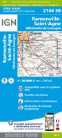 Wandelkaart - Topografische kaart 2144 SB - Serie Bleue Ramonville-Saint-Agne | IGN - Institut Géographique National
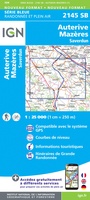 Wandelkaart - Topografische kaart 2145 SB - Serie Bleue Auterive - Mazères - Saverdun | IGN - Institut Géographique National
 Wandelkaart - Topografische kaart 2147ET Foix - Tarascon sur Ariege, Ussat, les Monts-d'Olmes | IGN - Institut Géographique National
 Wandelkaart - Topografische kaart 2148OT Vicdessos, Pic d'Estats et de Montcalm, Pyrenees-Ariegeoises | IGN - Institut Géographique National★★★★★
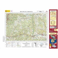 Topografische kaart 216 MT50 Bellver de Cerdanya | CNIG - Instituto Geográfico Nacional1
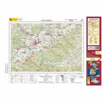 Topografische kaart 217 MT50 Puigcerdá | CNIG - Instituto Geográfico Nacional1
 Topografische kaart 218 MT50 Molló | CNIG - Instituto Geográfico Nacional1
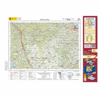 Topografische kaart 220 MT50 Agullana | CNIG - Instituto Geográfico Nacional1
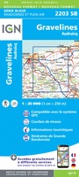 Wandelkaart - Topografische kaart 2203 SB - Serie Bleue Gravelines - Andruicq | IGN - Institut Géographique National
Laatste reviews

Echt prachtig boek, uniek mag ik wel zeggen. Als cadeau gegeven aan onze vriend. Een super gaaf ‘tafelboek’ . We hebben er ook en standaard …
★★★★★ door Visser 08 januari 2026 | Heeft dit artikel gekocht
Wegens winter kunnen we het nog niet in de praktijk proberen, maar al enorm veel voorpret bij het lezen van deze prachtige wandelgids van de …
★★★★★ door Charlotte 08 januari 2026 | Heeft dit artikel gekocht
Keurige levering.
★★★★★ door JP 07 januari 2026 | Heeft dit artikel gekocht
Het zal voor mijn zus een beste uitdaging zijn om deze puzzel te maken. Hopelijk wordt ze bijgestaan door haar dochters. Het was een verjaardagscadeau. …
★★★★★ door Kees 07 januari 2026 | Heeft dit artikel gekocht