Topografische kaarten - Frankrijk
De kaarten van IGN (kort voor Institute Geographique National), wandelkaarten voor Frankrijk, zijn van een ongekend hoog niveau. Met name de wandelkaarten 1:25.000 vinden wij geweldig: werkelijk alles staat erop, de kaarten bevatten zeer veel details en het kleurgebruik is fantastisch, waardoor alles ook nog eens heel goed leesbaar. Je hoort het: wij zijn fan van deze kaarten!
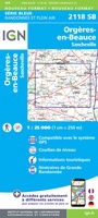 Wandelkaart - Topografische kaart 2118 SB - Serie Bleue Orgères-en-Beauce, Sancheville | IGN - Institut Géographique National
 Wandelkaart - Topografische kaart 2119 SB - Serie Bleue Patay, Ouzouer-le-Marché | IGN - Institut Géographique National
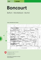 Wandelkaart - Topografische kaart 212 Boncourt | Swisstopo
 Wandelkaart - Topografische kaart 2120 SB - Serie Bleue Beaugency, Mer, Meung-sur-Loire | IGN - Institut Géographique National★★★★★
 Wandelkaart - Topografische kaart 2121 SB - Serie Bleue Mer | IGN - Institut Géographique National
 Wandelkaart - Topografische kaart 2121OT Blois - Chambord - Cheverny | IGN - Institut Géographique National
 Wandelkaart - Topografische kaart 2122 SB - Serie Bleue Romorantin-Lanthenay | IGN - Institut Géographique National
 Wandelkaart - Topografische kaart 2123 SB - Serie Bleue Selles-sur-Cher, Chabris | IGN - Institut Géographique National
 Wandelkaart - Topografische kaart 2124 SB - Serie Bleue Lucay-le-Male | IGN - Institut Géographique National
 Wandelkaart - Topografische kaart 2125 SB - Serie Bleue Châteauroux, Levroux, Villedieu-sur-Indre | IGN - Institut Géographique National
 Wandelkaart - Topografische kaart 2126 SB - Serie Bleue Le Poinçonnet, Velles, Luant | IGN - Institut Géographique National
 Topografische kaart - Wandelkaart 2127 SB - Serie Bleue Argenton-sur-Creuse | IGN - Institut Géographique National
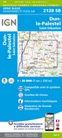 Wandelkaart - Topografische kaart 2128 SB - Serie Bleue Dun-le-Palestel | IGN - Institut Géographique National★★★★★
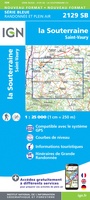 Wandelkaart - Topografische kaart 2129 SB - Serie Bleue La Souterraine | IGN - Institut Géographique National
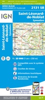 Wandelkaart - Topografische kaart 2131 SB - Serie Bleue St-Léonard-de-Noblat, Eymoutiers | IGN - Institut Géographique National
 Wandelkaart - Topografische kaart 2132 SB - Serie Bleue Châteauneuf-la-Forêt, Chamberet | IGN - Institut Géographique National
 Wandelkaart - Topografische kaart 2133 SB - Serie Bleue Uzerche, Treignac, Seilhac | IGN - Institut Géographique National
 Wandelkaart - Topografische kaart 2134 SB - Serie Bleue Tulle | IGN - Institut Géographique National
 Wandelkaart - Topografische kaart 2137 SB - Serie Bleue Gramat | IGN - Institut Géographique National
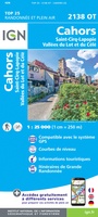 Wandelkaart - Topografische kaart 2138OT Cahors | IGN - Institut Géographique National★★★★★
Laatste reviews

Review van mijn vriendin. Heel mooi boek met gedetailleerde informatie over waar je op welk moment de foto's kan maken die je zou willen. Zelfs …
★★★★★ door Tony Everaert 17 januari 2026 | Heeft dit artikel gekocht
Precies wat ik zocht
★★★★★ door Hans Linneman 16 januari 2026 | Heeft dit artikel gekocht
Het is een zeer gedetailleerde landkaart, zoals ook door de Zwerver duidelijk omschreven. Zal voor mijn vakantie met een huurauto zeer nuttig zijn. De levering …
★★★★★ door Jeroen 16 januari 2026 | Heeft dit artikel gekocht
Mooi uitgevoerd en fijn. Bij elke wandeling niet alleen een kaartje en routebeschrijving, maar ook achtergrondinformatie en informatie over de natuur. Bevat dus echt korte …
★★★★★ door Arjan de Jong 15 januari 2026 | Heeft dit artikel gekocht