Winkelwagen
Geen items in winkelwagen
Ga naar winkelwagen
Topografische kaarten - Frankrijk
De kaarten van IGN (kort voor Institute Geographique National), wandelkaarten voor Frankrijk, zijn van een ongekend hoog niveau. Met name de wandelkaarten 1:25.000 vinden wij geweldig: werkelijk alles staat erop, de kaarten bevatten zeer veel details en het kleurgebruik is fantastisch, waardoor alles ook nog eens heel goed leesbaar. Je hoort het: wij zijn fan van deze kaarten!
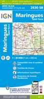 Wandelkaart - Topografische kaart 2630 SB - Serie Bleue Maringues | IGN - Institut Géographique National
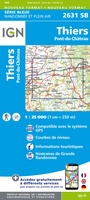 Wandelkaart - Topografische kaart 2631 SB - Serie Bleue Thiers | IGN - Institut Géographique National
 Wandelkaart - Topografische kaart 2632 SB - Serie Bleue Issoire | IGN - Institut Géographique National
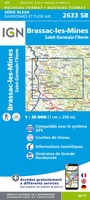 Wandelkaart - Topografische kaart 2633 SB - Serie Bleue St-Germain-l'Herm, Brassac-les-Mines | IGN - Institut Géographique National
 Wandelkaart - Topografische kaart 2634 SB - Serie Bleue Paulhaguet - Brioude | IGN - Institut Géographique National
 Wandelkaart - Topografische kaart 2635 SB - Serie Bleue Langeac - Lavoûte-Chilhac | IGN - Institut Géographique National
 Wandelkaart - Topografische kaart 2636 SB - Serie Bleue Saugues | IGN - Institut Géographique National
 Wandelkaart - Topografische kaart 2637 SB - Serie Bleue Saint-Chély-d'Apcher | IGN - Institut Géographique National
 Wandelkaart - Topografische kaart 2638 SB - Serie Bleue Mende | IGN - Institut Géographique National
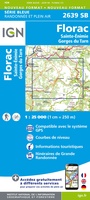 Wandelkaart - Topografische kaart 2639 SB - Serie Bleue Florac | IGN - Institut Géographique National
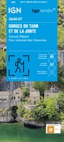 Topografische kaart - Wandelkaart 2640OT Gorges du Tarn et de la Jonte / Causse Méjan PNR | IGN - Institut Géographique National★★★★★
 Wandelkaart - Topografische kaart 2641ET Mont Aigoual | IGN - Institut Géographique National
 Wandelkaart - Topografische kaart 2642ET St.-Guilhem-le-Desert | IGN - Institut Géographique National
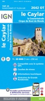 Wandelkaart - Topografische kaart 2642OT Le Caylar - La Couvertoirade | IGN - Institut Géographique National★★★★★
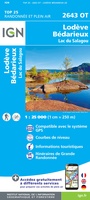 Wandelkaart - Topografische kaart 2643OT Lodeve | IGN - Institut Géographique National
 Wandelkaart - Topografische kaart 2644OT Pézenas - Murviel-lès-Béziers | IGN - Institut Géographique National
 Wandelkaart - Topografische kaart 270 Genève | Swisstopo
 Wandelkaart - Topografische kaart 2706OT Foret De Mormal | IGN - Institut Géographique National★★★★★
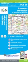 Wandelkaart - Topografische kaart 2708 SB - Serie Bleue Le Nouvion-en-Thiérache, Avesnes-sur-Helpe | IGN - Institut Géographique National
 Wandelkaart - Topografische kaart 2709 SB - Serie Bleue Vervins - Marie | IGN - Institut Géographique National
Laatste reviews

Handige route gids
Duidelijk, veel informatie voor onderweg. Wel in het Duits. Zeer vlotte verzending door de zwerver.
★★★★★ door Nelleke 07 april 2026 | Heeft dit artikel gekocht
Geweldig
Ik ben hier erg blij mee. Je krijgt zo een veel betere voorstelling van het reliëf. Je moet er wel rekening mee houden dat de …
★★★★★ door Remco Kok 07 april 2026 | Heeft dit artikel gekocht
Geweldig mooie kaart
Duidelijk en gedetailleerd
★★★★★ door Anthony Vinke 07 april 2026 | Heeft dit artikel gekocht
Prima service
Vlotte bezorging van mijn bestelling en de kaart is van uitstekende kwaliteit.
★★★★★ door Christiene Noot 06 april 2026 | Heeft dit artikel gekocht