Topografische kaarten - Frankrijk
De kaarten van IGN (kort voor Institute Geographique National), wandelkaarten voor Frankrijk, zijn van een ongekend hoog niveau. Met name de wandelkaarten 1:25.000 vinden wij geweldig: werkelijk alles staat erop, de kaarten bevatten zeer veel details en het kleurgebruik is fantastisch, waardoor alles ook nog eens heel goed leesbaar. Je hoort het: wij zijn fan van deze kaarten!
 Wandelkaart - Topografische kaart 2715 SB - Serie Bleue Connantre - Sézanne | IGN - Institut Géographique National
 Wandelkaart - Topografische kaart 2716 SB - Serie Bleue Romilly-sur-Seine | IGN - Institut Géographique National
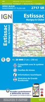 Wandelkaart - Topografische kaart 2717 SB - Serie Bleue Estissac | IGN - Institut Géographique National
 Wandelkaart - Topografische kaart 2718 SB - Serie Bleue Auxon | IGN - Institut Géographique National
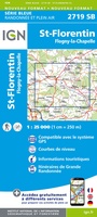 Wandelkaart - Topografische kaart 2719 SB - Serie Bleue Saint-Florentin – Flogny-la-Chapelle | IGN - Institut Géographique National
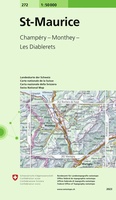 Wandelkaart - Topografische kaart 272 St-Maurice | Swisstopo
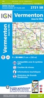 Topografische kaart - Wandelkaart 2721 SB - Serie Bleue Vermenton | IGN - Institut Géographique National
 Topografische kaart - Wandelkaart 2722ET Avallon - Vézelay | IGN - Institut Géographique National
 Wandelkaart - Topografische kaart 2723 SB - Serie Bleue Corbigny | IGN - Institut Géographique National
 Topografische kaart - Wandelkaart 2723ET Château-Chinon | IGN - Institut Géographique National★★★★★
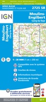 Topografische kaart - Wandelkaart 2725 SB - Serie Bleue Moulins-Engilbert | IGN - Institut Géographique National
 Topografische kaart - Wandelkaart 2726 SB - Serie Bleue Bourbon-Lancy | IGN - Institut Géographique National
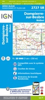 Wandelkaart - Topografische kaart 2727 SB - Serie Bleue Dompierre-sur-Besbre | IGN - Institut Géographique National
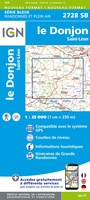 Wandelkaart - Topografische kaart 2728 SB - Serie Bleue Le Donjon | IGN - Institut Géographique National
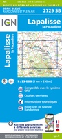 Wandelkaart - Topografische kaart 2729 SB - Serie Bleue Lapalisse | IGN - Institut Géographique National
 Wandelkaart - Topografische kaart 2420 SB - Serie Bleue Châtillon-Coligny, Nogent-sur-Vernisson | IGN - Institut Géographique National
 Wandelkaart - Topografische kaart 2421 SB - Serie Bleue Briare | IGN - Institut Géographique National
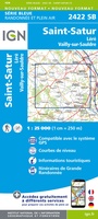 Wandelkaart - Topografische kaart 2422 SB - Serie Bleue St-Satur, Léré, Vailly-sur-Sauldre | IGN - Institut Géographique National
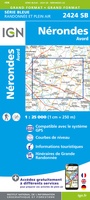 Wandelkaart - Topografische kaart 2424 SB - Serie Bleue Nérondes - Avord | IGN - Institut Géographique National
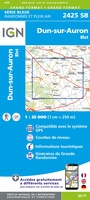 Wandelkaart - Topografische kaart 2425 SB - Serie Bleue Dun-sur-Aubron - Blet | IGN - Institut Géographique National
Laatste reviews

Blij met een fietskaart, maar: Het was mij niet duidelijk dat bij een aparte fietskaart van het Gota-kanaal met die naamgeving, het westelijk deel tussen …
★★★★★ door Remco Korteweg 09 april 2026 | Heeft dit artikel gekocht
Op ansichtkaartformaat een prachtige reliëfkaart van Vogezen en Elzas: alleen al voor het vooraf genieten een aanrader
★★★★★ door R.P. Koster 08 april 2026 | Heeft dit artikel gekocht
De beste kaartenmaker van Frankrijk: Michelin. Weer met mooie toeritische tips van de Elzas: een aanrader
★★★★★ door R.P. Koster 08 april 2026 | Heeft dit artikel gekocht
Mooie wandelgids (ook om cadeau te geven) als je van wandelen op de Veluwe houdt. Duidelijk, goed gedocumenteerd, zo te gebruiken
★★★★★ door R.P. Koster 08 april 2026 | Heeft dit artikel gekocht