Topografische kaarten - Frankrijk
De kaarten van IGN (kort voor Institute Geographique National), wandelkaarten voor Frankrijk, zijn van een ongekend hoog niveau. Met name de wandelkaarten 1:25.000 vinden wij geweldig: werkelijk alles staat erop, de kaarten bevatten zeer veel details en het kleurgebruik is fantastisch, waardoor alles ook nog eens heel goed leesbaar. Je hoort het: wij zijn fan van deze kaarten!
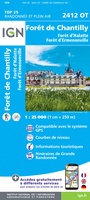 Wandelkaart - Topografische kaart 2412OT Forêt de Chantilly | IGN - Institut Géographique National★★★★★
 Wandelkaart - Topografische kaart 2413OT Dammartin-en-Goële, Centre | IGN - Institut Géographique National
 Wandelkaart - Topografische kaart 2414ET Marne-la-Vallée - Forêts: Crécy - Armainvilliers - Ferrières, Centre | IGN - Institut Géographique National
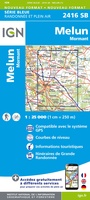 Wandelkaart - Topografische kaart 2416 SB - Serie Bleue Melun, Mormant | IGN - Institut Géographique National
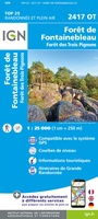 Wandelkaart - Topografische kaart 2417OT Forêt de Fontainebleau | IGN - Institut Géographique National★★★★★
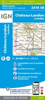 Wandelkaart - Topografische kaart 2418 SB - Serie Bleue Château-Landon, Corbeilles | IGN - Institut Géographique National
 Wandelkaart - Topografische kaart 2419 SB - Serie Bleue Montargis - Lorris | IGN - Institut Géographique National
 Wandelkaart - Topografische kaart 2421 SB - Serie Bleue Briare | IGN - Institut Géographique National
 Wandelkaart - Topografische kaart 2422 SB - Serie Bleue St-Satur, Léré, Vailly-sur-Sauldre | IGN - Institut Géographique National
 Wandelkaart - Topografische kaart 2424 SB - Serie Bleue Nérondes - Avord | IGN - Institut Géographique National
 Wandelkaart - Topografische kaart 2425 SB - Serie Bleue Dun-sur-Aubron - Blet | IGN - Institut Géographique National
 Topografische kaart - Wandelkaart 2426 SB - Serie Bleue Charenton-du-Cher | IGN - Institut Géographique National
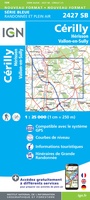 Topografische kaart - Wandelkaart 2427 SB - Serie Bleue Cérilly | IGN - Institut Géographique National
 Wandelkaart - Topografische kaart 2428 SB - Serie Bleue Montluçon | IGN - Institut Géographique National
 Wandelkaart - Topografische kaart 2429 SB - Serie Bleue Saint-Éloy-les-Mines | IGN - Institut Géographique National
 Wandelkaart - Topografische kaart 2430 SB - Serie Bleue Saint-Gervais d'Auvergne | IGN - Institut Géographique National
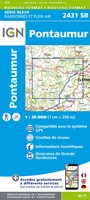 Wandelkaart - Topografische kaart 2431 SB - Serie Bleue Pontaumur | IGN - Institut Géographique National
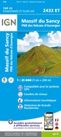 Wandelkaart - Topografische kaart 2432ET Massif du Sancy | IGN - Institut Géographique National★★★★★
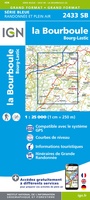 Topografische kaart - Wandelkaart 2433 SB - Serie Bleue la Bourboule | IGN - Institut Géographique National
 Wandelkaart - Topografische kaart 2434OT Riom es Montagnes, Bort-les-Orgues, PNR des Volcans d'Auvergne | IGN - Institut Géographique National
Laatste reviews

Snelle levering, prima verpakt, en de atlas van Duitsland is precies wat ik had verwacht, heel erg goed.
★★★★★ door Wil Van der Vlist 01 april 2026 | Heeft dit artikel gekocht
Vlotte service en prima kaart van Slovenie
★★★★★ door Bert van Jaarsveld 31 maart 2026 | Heeft dit artikel gekocht
132 dagen GR20 in het voorjaar en alles zelf meenemen, betekent dat iedere gram telt. Deze kaart geeft een mooi overzicht van de hele route …
★★★★★ door Martin-Jan Strebe 31 maart 2026 | Heeft dit artikel gekocht
Vandaag bijkomen van de Fishermanstrail! Heb het boekje regelmatig erbij gepakt. De route staat duidelijk aangegeven en daarvoor het boek niet nodig. Wat prettig is …
★★★★★ door Inge Hendriks 31 maart 2026 | Heeft dit artikel gekocht