Topografische kaarten - Frankrijk
De kaarten van IGN (kort voor Institute Geographique National), wandelkaarten voor Frankrijk, zijn van een ongekend hoog niveau. Met name de wandelkaarten 1:25.000 vinden wij geweldig: werkelijk alles staat erop, de kaarten bevatten zeer veel details en het kleurgebruik is fantastisch, waardoor alles ook nog eens heel goed leesbaar. Je hoort het: wij zijn fan van deze kaarten!
 Wandelkaart - Topografische kaart 3437OT Champsaur | IGN - Institut Géographique National★★★★★
 Wandelkaart - Topografische kaart 3438ET Embrun | IGN - Institut Géographique National★★★★★
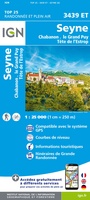 Wandelkaart - Topografische kaart 3439ET Seyne | IGN - Institut Géographique National
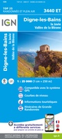 Topografische kaart - Wandelkaart 3440ET Digne-les-Bains | IGN - Institut Géographique National★★★★★
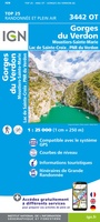 Wandelkaart - Topografische kaart 3442OT Gorges du Verdon | IGN - Institut Géographique National
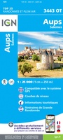 Wandelkaart - Topografische kaart 3443OT Aups | IGN - Institut Géographique National
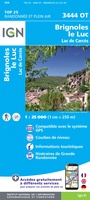 Wandelkaart - Topografische kaart 3444OT Brignoles - le Luc | IGN - Institut Géographique National
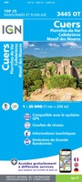 Wandelkaart - Topografische kaart 3445OT Cuers | IGN - Institut Géographique National
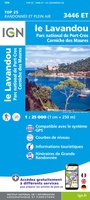 Wandelkaart - Topografische kaart 3446ET Le Lavandou | IGN - Institut Géographique National
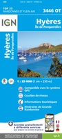 Wandelkaart - Topografische kaart 3446OT Hyères | IGN - Institut Géographique National
 Fietskaart - Topografische kaart - Wegenkaart - landkaart 35 Vallorbe | Swisstopo
 Fietskaart - Topografische kaart - Wegenkaart - landkaart 31 Biel/Bienne | Swisstopo
 Wandelkaart - Topografische kaart 3110 SB - Serie Bleue Carignan | IGN - Institut Géographique National★★★★★
 Wandelkaart - Topografische kaart 3111 SB - Serie Bleue Stenay | IGN - Institut Géographique National
 Wandelkaart - Topografische kaart 3112ET Forêts de Verdun et du Mort-Homme | IGN - Institut Géographique National★★★★★
 Wandelkaart - Topografische kaart 3113 SB - Serie Bleue Clermont-en-Argonne | IGN - Institut Géographique National
 Wandelkaart - Topografische kaart 3114 SB - Serie Bleue Pierrefitte-sur-Aire | IGN - Institut Géographique National
 Wandelkaart - Topografische kaart 3115 SB - Serie Bleue Bar-le-Duc | IGN - Institut Géographique National
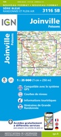 Wandelkaart - Topografische kaart 3116 SB - Serie Bleue Joinville | IGN - Institut Géographique National★★★★★
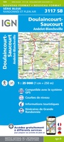 Wandelkaart - Topografische kaart 3117 SB - Serie Bleue Doulaincourt, Saucourt, Andelot-Blancheville | IGN - Institut Géographique National
Laatste reviews

Een compact boekje met 6 kaartjes van de voor een toerist belangrijkste Londense buurten met veel details en een overzicht van de metrolijnen. Super handig …
★★★★★ door Corine van der Hoeven 12 januari 2026 | Heeft dit artikel gekocht
Erg blij met het boek onbegrensd fietsen naar Andalusië. We zijn ons nu aan het inlezen en krijgen enorm veel zin om te gaan. Er …
★★★★★ door Monique 12 januari 2026 | Heeft dit artikel gekocht
Heel blij met dit wandelgidsje. Mooie kaartjes, per etappe, ook restaurants en overnachting. Ideaal vooraf om te plannen en onderweg. Mooi compact!
★★★★★ door Peter 12 januari 2026 | Heeft dit artikel gekocht
Gewoon handig boekje voor de info en planning. Route is heel goed gemarkeerd.
★★★★★ door Pieter 12 januari 2026 | Heeft dit artikel gekocht