Topografische kaarten - Frankrijk
De kaarten van IGN (kort voor Institute Geographique National), wandelkaarten voor Frankrijk, zijn van een ongekend hoog niveau. Met name de wandelkaarten 1:25.000 vinden wij geweldig: werkelijk alles staat erop, de kaarten bevatten zeer veel details en het kleurgebruik is fantastisch, waardoor alles ook nog eens heel goed leesbaar. Je hoort het: wij zijn fan van deze kaarten!
 Wandelkaart - Topografische kaart 2826 SB - Serie Bleue Luzy, Toulon-sur-Arroux | IGN - Institut Géographique National
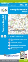 Wandelkaart - Topografische kaart 2827 SB - Serie Bleue Paray-le-Monial | IGN - Institut Géographique National
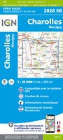 Wandelkaart - Topografische kaart 2828 SB - Serie Bleue Charolles | IGN - Institut Géographique National★★★★★
 Wandelkaart - Topografische kaart 2829 SB - Serie Bleue Charlieu – Chauffailles | IGN - Institut Géographique National
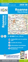 Wandelkaart - Topografische kaart 2830 SB - Serie Bleue Roanne – Thizy-les-Bourgs | IGN - Institut Géographique National
 Wandelkaart - Topografische kaart 2831 SB - Serie Bleue Feurs – Boën-sur-Lignon | IGN - Institut Géographique National
 Wandelkaart - Topografische kaart 2832 SB - Serie Bleue Montbrison - Veauche | IGN - Institut Géographique National
 Wandelkaart - Topografische kaart 2833 SB - Serie Bleue Firminy, St-Bonnet-le-Château | IGN - Institut Géographique National
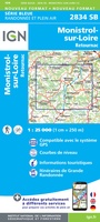 Wandelkaart - Topografische kaart 2834 SB - Serie Bleue Monistrol-sur-Loire, Retournac | IGN - Institut Géographique National
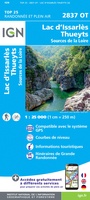 Wandelkaart - Topografische kaart 2837OT Lac d'Issarlès - Thueyts | IGN - Institut Géographique National
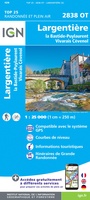 Wandelkaart - Topografische kaart 2838OT Largentière | IGN - Institut Géographique National★★★★★
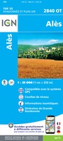 Wandelkaart - Topografische kaart 2840OT Ales | IGN - Institut Géographique National
 Wandelkaart - Topografische kaart 2841OT SB - Serie Bleue Vézénobres | IGN - Institut Géographique National
 Wandelkaart - Topografische kaart 2842OT Sommières, Vergèze | IGN - Institut Géographique National
 Wandelkaart - Topografische kaart 2843OT Aigues - Mortes - La Grande Motte | IGN - Institut Géographique National
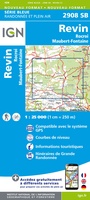 Wandelkaart - Topografische kaart 2908 SB - Serie Bleue Revin, Rocroi, Maubert-Fontaine | IGN - Institut Géographique National
 Wandelkaart - Topografische kaart 2909 SB - Serie Bleue Renwez-Signy, L'Abbaye | IGN - Institut Géographique National★★★★★
 Wandelkaart - Topografische kaart 2910 SB - Serie Bleue Rethel - Tourteron | IGN - Institut Géographique National
 Wandelkaart - Topografische kaart 2911 SB - Serie Bleue Attigny | IGN - Institut Géographique National
 Wandelkaart - Topografische kaart 2912 SB - Serie Bleue Mourmelon-le-Grand | IGN - Institut Géographique National
Laatste reviews

Review van mijn vriendin. Heel mooi boek met gedetailleerde informatie over waar je op welk moment de foto's kan maken die je zou willen. Zelfs …
★★★★★ door Tony Everaert 17 januari 2026 | Heeft dit artikel gekocht
Precies wat ik zocht
★★★★★ door Hans Linneman 16 januari 2026 | Heeft dit artikel gekocht
Het is een zeer gedetailleerde landkaart, zoals ook door de Zwerver duidelijk omschreven. Zal voor mijn vakantie met een huurauto zeer nuttig zijn. De levering …
★★★★★ door Jeroen 16 januari 2026 | Heeft dit artikel gekocht
Mooi uitgevoerd en fijn. Bij elke wandeling niet alleen een kaartje en routebeschrijving, maar ook achtergrondinformatie en informatie over de natuur. Bevat dus echt korte …
★★★★★ door Arjan de Jong 15 januari 2026 | Heeft dit artikel gekocht