Winkelwagen
Geen items in winkelwagen
Ga naar winkelwagen
Topografische kaarten - Lerida (Provincie)
 Topografische kaart 182-I Lladorre | CNIG - Instituto Geográfico Nacional
 Topografische kaart 182-II Àreu | CNIG - Instituto Geográfico Nacional
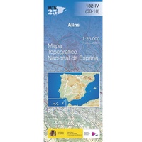 Topografische kaart 182-IV Alins | CNIG - Instituto Geográfico Nacional
 Topografische kaart 183 MT50 Andorra la Vella | CNIG - Instituto Geográfico Nacional
 Topografische kaart 388 MT50 Lleida | CNIG - Instituto Geográfico Nacional1
 Topografische kaart 389 MT50 Tárrega | CNIG - Instituto Geográfico Nacional1
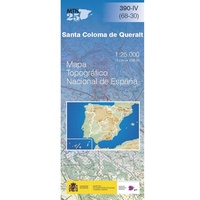 Topografische kaart 390-IV Santa Coloma de Queralt | CNIG - Instituto Geográfico Nacional
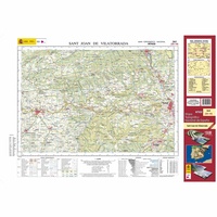 Topografische kaart 362 MT50 Sant Joan de Vilatorrada | CNIG - Instituto Geográfico Nacional1
 Topografische kaart 443 MT50 Fabara | CNIG - Instituto Geográfico Nacional1
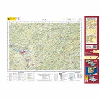 Topografische kaart 444 MT50 Flix | CNIG - Instituto Geográfico Nacional1
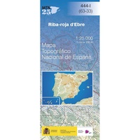 Topografische kaart 444-I Riba-roja d´Ebre | CNIG - Instituto Geográfico Nacional
 Topografische kaart 444-II La Palma d'Ebre | CNIG - Instituto Geográfico Nacional
 Topografische kaart 445 MT50 La Selva del Camp | CNIG - Instituto Geográfico Nacional1
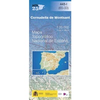 Topografische kaart 445-I Cornudella de Montsant | CNIG - Instituto Geográfico Nacional
Laatste reviews

Fijne kaart
Goede leesbare kaart inclusief route suggesties. Heb alleen op de kaart gelopen, zonder mobiele apparatuur. Heel goed te doen.
★★★★★ door Nick 10 juni 2026 | Heeft dit artikel gekocht
Mooie kaart van een prachtig gebied
Als een prachtig gebied zo'n kaart heeft, dan is het extra genieten om gedetailleerd op avontuur te gaan!
★★★★★ door Stephanie 10 juni 2026 | Heeft dit artikel gekocht
Direct geleverd
Ik had de kaart nodig voor onze motorvakantie en het was wat krap voor vertrek. Zwerver leverde snel en daardoor konden we met veel plezier …
★★★★★ door Wim 09 juni 2026 | Heeft dit artikel gekocht
Prima keuze
Prima gids, goed bruikbaar, handig formaat juist wat we zochten voor onze reis. Daarbij prima en snelle service van de Zwerver!
★★★★★ door Marti Kwakernaak 09 juni 2026 | Heeft dit artikel gekocht