Boeken - Lowlands | Schotse Laaglanden en grenzen
 Wandelgids 31 Pathfinder Guides Oban, Mull & Kintyre | Ordnance Survey
Wandelgids van een deel van Schotland. Deze gids bevat 28 dagwandelingen, variërend van korte tochten tot pittige dagtochten. De bijbehorende kaarten zijn uitstekend: men heeft de topografische kaarten van Ordnance …
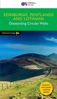 Wandelgids 47 Pathfinder Guides Edinburgh, Pentlands & the Lothians | Ordnance Survey
Wandelgids van een deel van Engeland, Schotland of Wales. Deze gids bevat 28 dagwandelingen, variërend van korte tochten tot pittige dagtochten. De bijbehorende kaarten zijn uitstekend: men heeft de topografische …
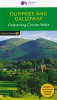 Wandelgids 19 Pathfinder Guides Dumfries & Galloway | Ordnance Survey
Wandelgids van het zuidwestenl van Schotland. Deze gids bevat 28 dagwandelingen, variërend van korte tochten tot pittige dagtochten. De bijbehorende kaarten zijn uitstekend: men heeft de topografische kaarten van Ordnance …
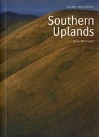 Wandelgids Southern Uplands | Pocket Mountains
Mooi uitgevoerde wandelgids in een handzaam formaat: 15 x 10 cm. De wandelingen zijn duidelijk beschreven, soms een beetje summier. This Pocket Mountains guide to the Southern Uplands of Scotland …
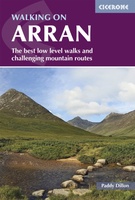 Wandelgids Walking on Arran | Cicerone
Uitstekende wandelgids voor dit uitdagende wandelgebied in Schotland. Dagtochten. The 45 walking routes in this Isle of Arran guidebook range from easy 3km (2 miles) nature trails to long arduous …
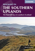 Wandelgids Walking in the Southern Uplands | Cicerone
This guidebook describes 44 routes and over 100 summits stretching across the Southern Uplands of Scotland, stretching south-west from Edinburgh to the English border, including the Galloway and Pentland Hills. …
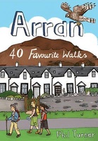 Wandelgids Arran | Pocket Mountains
Handige compacte wandelgids met 40 dagwandelingen. Deze gids bevat kleine kaartjes en leuke uitgebreide informatie over wat er langs de route te zien is. Goede wandelkaarten zijn echter wel aan …
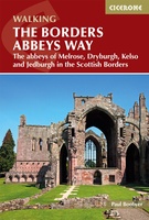 Wandelgids The Borders Abbeys Ways | Cicerone
Uitstekende wandelgids van de Borders Abbeys Way, waarbij naast alle noodzakelijke informatie ook gebruik gemaakt wordt van de echte topografische kaart. Guidebook to the Borders Abbeys Way, a 68 mile …
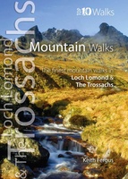 Wandelgids Mountain Walks in Loch Lomond and the Trossachs | Northern Eye Books
One of four books in the popular Loch Lomond and The Trossachs: Top 10 Walks series. Handy, pocket-sized, full colour walking guides written by experts. The perfect impulse buy. The …
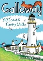 Wandelgids Galloway | Pocket Mountains
Handige compacte wandelgids met 40 dagwandelingen. Deze gids bevat kleine kaartjes en leuke uitgebreide informatie over wat er langs de route te zien is. Goede wandelkaarten zijn echter we noodzakelijk …
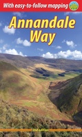 Wandelgids Annandale Way | Rucksack Readers
The Annandale Way is a charming long walk in a little-known, but very accessible, part of southern Scotland. Walked southward from source to the sea, it starts in the sheep …
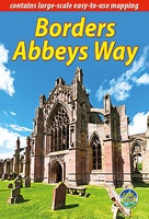 Wandelgids Borders Abbeys Way | Rucksack Readers
The Borders Abbeys Way is one of Scotland's Great Trails, a fascinating circuit that takes in the historic ruined abbeys of Melrose, Dryburgh, Kelso and Jedburgh. Within its 68 miles …
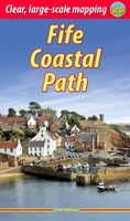 Wandelgids Fife Coastal Path | Rucksack Readers
The Fife Coastal Path runs around the coastline of eastern Scotland for 117 miles (187 km) from Kincardine on the Forth to Newburgh on the Tay. Starting west of the …
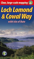 Wandelgids Loch Lomond & Cowal Way | Rucksack Readers
"Lavishly illustrated guidebook with route map plus practical information" - Scots Magazine The Loch Lomond & Cowal Way is one of Scotland's Great Trails. It runs for 57 miles (91 …
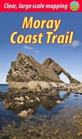 Wandelgids Moray Coast Trail | Rucksack Readers
The Mary Queen of Scots Way stretches across central Scotland from coast to coast, linking many places associated with Mary Queen of Scots. It runs for 107 miles (172 km) …
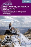 Wandelgids Walking Ben Lawers, Rannoch and Atholl | Cicerone
Wandelgids met 80 wandelingen van verschillende niveaus in het gebied van de Perthshire Highlands. The south-eastern Grampians of the former county of Perthshire may be grassier and less rugged than …
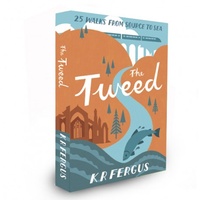 Wandelgids The Tweed | Pocket Mountains
Handige compacte wandelgids met 40 dagwandelingen. Deze gids bevat kleine kaartjes en leuke uitgebreide informatie over wat er langs de route te zien is. Goede wandelkaarten zijn echter we noodzakelijk …
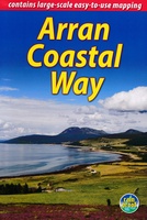 Wandelgids The Arran Coastal Way | Rucksack Readers
The Arran Coastal Way is perhaps Scotland's finest circular long-distance trail, running 65 miles (105 km) around the Isle of Arran in a memorable week-long hike from Brodick. It's accessible …
★★★★★★★★★★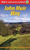 Wandelgids John Muir Way | Rucksack Readers
The John Muir Way runs for 134 miles (215 km) coast-to-coast across central Scotland, from Helensburgh on the Clyde to Dunbar on the North Sea. The route is as suitable …
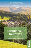 Reisgids Slow Travel Dumfries and Galloway | Bradt Travel Guides
Reisgids over een specifiek deel van Schotland met veel cultuur en geschiedenis, maar zeker ook praktische tips zoals je van uitgever Bradt mag verwachten. Written by resident experts, this new, …
Laatste reviews

Duidelijke kaart, ook met kleinere wegen. Snelle levering
★★★★★ door Ger Sulkers 02 mei 2024 | Heeft dit artikel gekocht
Ja wij zijn tevreden, alleen is mijn vriendin het boekje al kwijtgeraakt bij onze eerste wandeling.🙁
★★★★★ door Mark 02 mei 2024 | Heeft dit artikel gekocht
Ja ik ben dik tevreden over de wegenkaart van Kazachstan. Stond alles op wat ik wou dus heel erg tevreden daarover.
★★★★★ door Sjoerd Westra 02 mei 2024 | Heeft dit artikel gekocht
Zoals altijd mooie verzorgde kaarten die tijdens de reis van pas komen en achteraf mooie herinneringen oproepen.
★★★★★ door Klaas Wijnberg 02 mei 2024 | Heeft dit artikel gekocht