Topografische kaarten - Frankrijk
De kaarten van IGN (kort voor Institute Geographique National), wandelkaarten voor Frankrijk, zijn van een ongekend hoog niveau. Met name de wandelkaarten 1:25.000 vinden wij geweldig: werkelijk alles staat erop, de kaarten bevatten zeer veel details en het kleurgebruik is fantastisch, waardoor alles ook nog eens heel goed leesbaar. Je hoort het: wij zijn fan van deze kaarten!
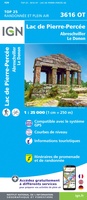 Wandelkaart - Topografische kaart 3616OT Lac de Pierre-Percée - Le Donon | IGN - Institut Géographique National★★★★★
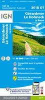 Wandelkaart - Topografische kaart 3618OT Le Hohneck - Gérardmer | IGN - Institut Géographique National★★★★★★★★★★
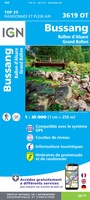 Wandelkaart - Topografische kaart 3619OT Bussang - La Bresse | IGN - Institut Géographique National★★★★★★★★★★
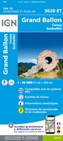 Wandelkaart - Topografische kaart 3620ET Grand Ballon | IGN - Institut Géographique National★★★★★
 Wandelkaart - Topografische kaart 3621ET Dannemarie - Delle - Sundgau | IGN - Institut Géographique National
 Wandelkaart - Topografische kaart 3621OT Belfort - Montbeliard | IGN - Institut Géographique National
 Wandelkaart - Topografische kaart 3622OT Montbéliard | IGN - Institut Géographique National
 Wandelkaart - Topografische kaart 3623OT Maîche | IGN - Institut Géographique National
 Wandelkaart - Topografische kaart 3630OT Chamonix-Mont-Blanc | IGN - Institut Géographique National★★★★★★★★★★
 Wandelkaart - Topografische kaart 3633ET Tignes - Val d'Isère | IGN - Institut Géographique National★★★★★
 Wandelkaart - Topografische kaart 3634OT Val Cenis | IGN - Institut Géographique National★★★★★★★★★★
 Wandelkaart - Topografische kaart 3639OT Haute Tinée 1 | IGN - Institut Géographique National
 Wandelkaart - Topografische kaart 3640ET Haute Tinée 2 | IGN - Institut Géographique National
 Wandelkaart - Topografische kaart 3640OT Haut Cians | IGN - Institut Géographique National
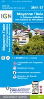 Wandelkaart - Topografische kaart 3641ET Moyenne Tinée | IGN - Institut Géographique National
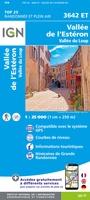 Wandelkaart - Topografische kaart 3642ET Vallée de l'Esteron | IGN - Institut Géographique National
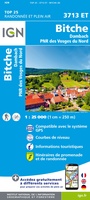 Wandelkaart - Topografische kaart 3713ET Pays de Bitche - Dambach - PNR des Vosges du Nord | IGN - Institut Géographique National
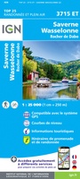 Wandelkaart - Topografische kaart 3715ET Wasselone - Rocher de Dabo - Saverne | IGN - Institut Géographique National
 Wandelkaart - Topografische kaart 3715OT Sarrebourg - Phalsbourg - Pays des Etangs | IGN - Institut Géographique National★★★★★
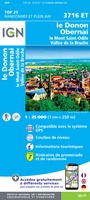 Wandelkaart - Topografische kaart 3716ET le Donon, Obernai, Mont Ste-Odile | IGN - Institut Géographique National★★★★★
Laatste reviews

Ik gebruik deze kaart omdat ik een reis wil volgen van meerdere personen. Heb er veel plezier van.
★★★★★ door Loes Vechtmann 15 april 2026 | Heeft dit artikel gekocht
Dit boek heeft me veel inzicht gegeven hoe om te gaan met jezelf in de wildernis. Een fijn, kwetsbaar en oprecht geschreven boek met veel …
★★★★★ door Arnold Jippes 15 april 2026 | Heeft dit artikel gekocht
The DK Eyewitness travel guide for Florence & Tuscany is an excellent guide with lots of details, including helpful photographs maps and diagrams of the …
★★★★★ door Andrew Wedgner 15 april 2026 | Heeft dit artikel gekocht
Wij zijn nu aan het reizen in zuid-west Australië. De kaart is heel goed te gebruiken. Blij mee!
★★★★★ door Wilma van der Maas 15 april 2026 | Heeft dit artikel gekocht