Topografische kaarten - Frankrijk
De kaarten van IGN (kort voor Institute Geographique National), wandelkaarten voor Frankrijk, zijn van een ongekend hoog niveau. Met name de wandelkaarten 1:25.000 vinden wij geweldig: werkelijk alles staat erop, de kaarten bevatten zeer veel details en het kleurgebruik is fantastisch, waardoor alles ook nog eens heel goed leesbaar. Je hoort het: wij zijn fan van deze kaarten!
 Wandelkaart - Topografische kaart 2216ET Etampes, Dourdan | IGN - Institut Géographique National
 Wandelkaart - Topografische kaart 2217 SB - Serie Bleue Méréville - Sainville | IGN - Institut Géographique National
 Wandelkaart - Topografische kaart 2218 SB - Serie Bleue Pithiviers, Neuville-aux-Bois, Artenay | IGN - Institut Géographique National
 Wandelkaart - Topografische kaart 2219 SB - Serie Bleue Orléans - Fay aux Loges | IGN - Institut Géographique National
 Wandelkaart - Topografische kaart 222 Clos du Doubs | Swisstopo
 Wandelkaart - Topografische kaart 2220 SB - Serie Bleue Jargeau, Olivet, La Ferté-St-Aubin | IGN - Institut Géographique National
 Wandelkaart - Topografische kaart 2221 SB - Serie Bleue Lamotte-Beuvron | IGN - Institut Géographique National
 Topografische kaart - Wandelkaart 2222 SB - Serie Bleue Salbris | IGN - Institut Géographique National
 Wandelkaart - Topografische kaart 2008OT Dieppe - Envermeu - Fresnoy - Folny | IGN - Institut Géographique National★★★★★★★★★★
 Topografische kaart - Wandelkaart 2009OT Forêt d'Eawy, Neufchâtel-en-Bray | IGN - Institut Géographique National★★★★★
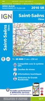 Wandelkaart - Topografische kaart 2010 SB - Serie Bleue Saint-Saëns | IGN - Institut Géographique National
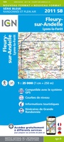 Wandelkaart - Topografische kaart 2011 SB - Serie Bleue Fleury-sur-Andelle | IGN - Institut Géographique National
 Wandelkaart - Topografische kaart 2012OT Foret De Bord-Louviers | IGN - Institut Géographique National
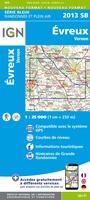 Wandelkaart - Topografische kaart 2013 SB - Serie Bleue Evreux - Vernon - Pacy-sur-Eure | IGN - Institut Géographique National★★★★★
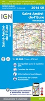 Wandelkaart - Topografische kaart 2014 SB - Serie Bleue Saint-André-de-l'Eure, Nonancourt | IGN - Institut Géographique National
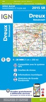 Wandelkaart - Topografische kaart 2015 SB - Serie Bleue Dreux - Nonancourt | IGN - Institut Géographique National
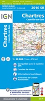 Wandelkaart - Topografische kaart 2016 SB - Serie Bleue Chartres, Courville-sur-Eure | IGN - Institut Géographique National
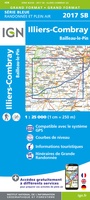 Wandelkaart - Topografische kaart 2017 SB - Serie Bleue Illiers-Combray, Bailleau-le-Pin | IGN - Institut Géographique National
 Topografische kaart - Wandelkaart 2018 SB - Serie Bleue Châteaudun - Brou | IGN - Institut Géographique National
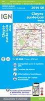 Topografische kaart - Wandelkaart 2019 SB - Serie Bleue Cloyes-sur-le-Loir | IGN - Institut Géographique National
Laatste reviews

De wandelingen worden uitgebreid beschreven. Soms mis je onderweg een pad omdat wegbewijzering ontbreekt waar je hem zou verwachten. Dan loop je maar weer terug …
★★★★★ door Elisabeth Hoeke 16 april 2026 | Heeft dit artikel gekocht
Ik gebruik deze kaart omdat ik een reis wil volgen van meerdere personen. Heb er veel plezier van.
★★★★★ door Loes Vechtmann 15 april 2026 | Heeft dit artikel gekocht
Dit boek heeft me veel inzicht gegeven hoe om te gaan met jezelf in de wildernis. Een fijn, kwetsbaar en oprecht geschreven boek met veel …
★★★★★ door Arnold Jippes 15 april 2026 | Heeft dit artikel gekocht
The DK Eyewitness travel guide for Florence & Tuscany is an excellent guide with lots of details, including helpful photographs maps and diagrams of the …
★★★★★ door Andrew Wedgner 15 april 2026 | Heeft dit artikel gekocht