Topografische kaarten - Frankrijk
De kaarten van IGN (kort voor Institute Geographique National), wandelkaarten voor Frankrijk, zijn van een ongekend hoog niveau. Met name de wandelkaarten 1:25.000 vinden wij geweldig: werkelijk alles staat erop, de kaarten bevatten zeer veel details en het kleurgebruik is fantastisch, waardoor alles ook nog eens heel goed leesbaar. Je hoort het: wij zijn fan van deze kaarten!
 Wandelkaart - Topografische kaart 2104ET Boulogne-Sur-Mer | IGN - Institut Géographique National★★★★★
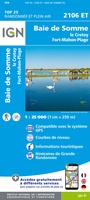 Wandelkaart - Topografische kaart 2106ET Baie de Somme, Le Crotoy, Fort-Mahon-Plage | IGN - Institut Géographique National★★★★★
 Wandelkaart - Topografische kaart 2107OT Le Tréport | IGN - Institut Géographique National★★★★★
 Wandelkaart - Topografische kaart 2108OT Foret d'Eu, Blangy-sur-Bresle, Gamaches | IGN - Institut Géographique National
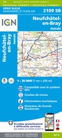 Wandelkaart - Topografische kaart 2109 SB - Serie Bleue Aumale, Neufchâtel-en-Bray | IGN - Institut Géographique National
 Wandelkaart - Topografische kaart 2110 SB - Serie Bleue Formerie, Forges-les-Eaux | IGN - Institut Géographique National
 Wandelkaart - Topografische kaart 2112 SB - Serie Bleue Gisors - Etrépagny | IGN - Institut Géographique National
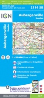 Wandelkaart - Topografische kaart 2114 SB - Serie Bleue Houdan - Aubergenville | IGN - Institut Géographique National
 Wandelkaart - Topografische kaart 2115 SB - Serie Bleue Epernon | IGN - Institut Géographique National
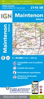 Wandelkaart - Topografische kaart 2116 SB - Serie Bleue Maintenon | IGN - Institut Géographique National
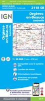 Wandelkaart - Topografische kaart 2118 SB - Serie Bleue Orgères-en-Beauce, Sancheville | IGN - Institut Géographique National
 Wandelkaart - Topografische kaart 2119 SB - Serie Bleue Patay, Ouzouer-le-Marché | IGN - Institut Géographique National
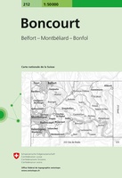 Wandelkaart - Topografische kaart 212 Boncourt | Swisstopo
 Wandelkaart - Topografische kaart 2120 SB - Serie Bleue Beaugency, Mer, Meung-sur-Loire | IGN - Institut Géographique National★★★★★
 Wandelkaart - Topografische kaart 2121 SB - Serie Bleue Mer | IGN - Institut Géographique National
 Wandelkaart - Topografische kaart 2121OT Blois - Chambord - Cheverny | IGN - Institut Géographique National
 Wandelkaart - Topografische kaart 2122 SB - Serie Bleue Romorantin-Lanthenay | IGN - Institut Géographique National
 Wandelkaart - Topografische kaart 2123 SB - Serie Bleue Selles-sur-Cher, Chabris | IGN - Institut Géographique National
 Wandelkaart - Topografische kaart 2124 SB - Serie Bleue Lucay-le-Male | IGN - Institut Géographique National
 Wandelkaart - Topografische kaart 2125 SB - Serie Bleue Châteauroux, Levroux, Villedieu-sur-Indre | IGN - Institut Géographique National
Laatste reviews

Blij met een fietskaart, maar: Het was mij niet duidelijk dat bij een aparte fietskaart van het Gota-kanaal met die naamgeving, het westelijk deel tussen …
★★★★★ door Remco Korteweg 09 april 2026 | Heeft dit artikel gekocht
Op ansichtkaartformaat een prachtige reliëfkaart van Vogezen en Elzas: alleen al voor het vooraf genieten een aanrader
★★★★★ door R.P. Koster 08 april 2026 | Heeft dit artikel gekocht
De beste kaartenmaker van Frankrijk: Michelin. Weer met mooie toeritische tips van de Elzas: een aanrader
★★★★★ door R.P. Koster 08 april 2026 | Heeft dit artikel gekocht
Mooie wandelgids (ook om cadeau te geven) als je van wandelen op de Veluwe houdt. Duidelijk, goed gedocumenteerd, zo te gebruiken
★★★★★ door R.P. Koster 08 april 2026 | Heeft dit artikel gekocht